Top 10 Geography Quiz Questions Answers to Boost Your Knowledge
Test your skills with our geography quiz questions answers. Discover fun facts and challenge yourself today. Click for engaging questions!
Think you know your way around the globe? From the deepest oceans to the highest peaks, our planet is filled with fascinating facts and tricky trivia just waiting to be explored. We've compiled a comprehensive collection of geography quiz questions answers designed to challenge your knowledge, satisfy your curiosity, and maybe even teach you something new. This isn't just a list; it's a journey across continents, through diverse cultures, and into the heart of Earth's most extreme environments.
Whether you're a seasoned traveler looking to test your expertise, a student preparing for an exam, or simply someone who enjoys a good brain-teaser, this curated quiz is your passport to discovery. The questions you'll find here move beyond simple memorization of names and places. They encourage a deeper understanding of the physical and political landscapes that shape our world, from identifying the world's longest river to naming the only country that is also a continent.
Our goal is to provide a definitive resource for anyone searching for high-quality geography quiz questions answers. Ready to put your global smarts to the test? Let’s dive in and see how many you can answer correctly before checking the solutions.
1. What is the capital of Australia?
This question is a classic for a reason: it masterfully plays on common misconceptions. While many people around the world might quickly guess Sydney or Melbourne due to their global fame and larger populations, the correct answer is Canberra. This makes it an excellent entry for any list of geography quiz questions and answers, as it immediately challenges assumptions and encourages critical thinking.
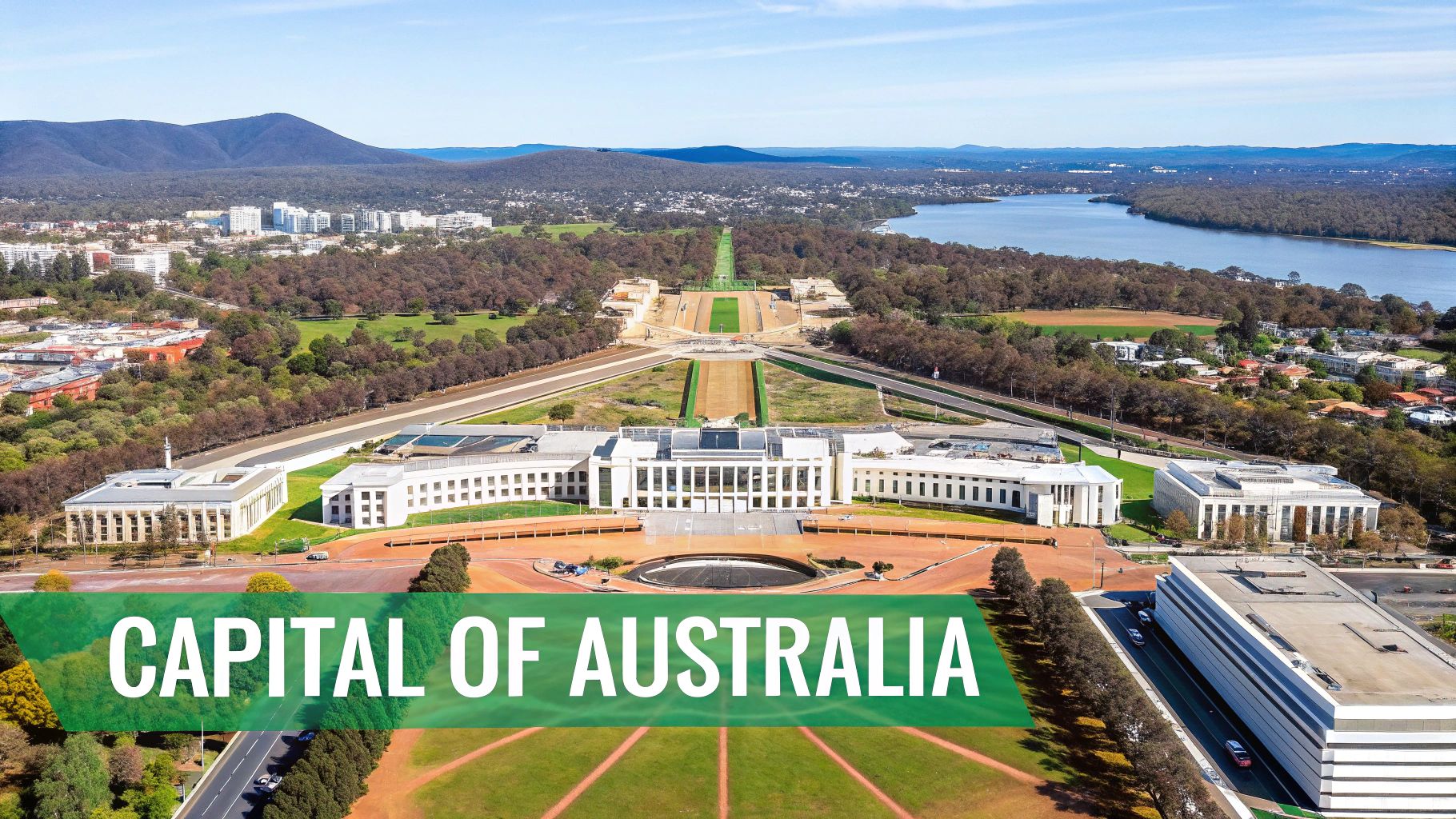
This question's brilliance lies in the story behind the answer. Canberra was a purpose-built capital, selected in 1908 as a compromise between the two rival cities, Sydney and Melbourne. This historical context provides a fantastic opportunity to delve deeper than a simple fact, turning a quiz item into a memorable lesson about political geography and national identity.
Why This Question Works
The effectiveness of this question is proven by its widespread use in various contexts. You'll find it featured in:
- Pub Trivia: A staple for testing general knowledge and tripping up overconfident teams.
- Educational Settings: Commonly used in school competitions and classroom quizzes to teach about planned cities.
- Online Quizzes: Platforms like Sporcle and JetPunk frequently include it to separate casual players from true geography buffs.
- Citizenship Tests: It often appears in materials for those preparing for Australian citizenship exams, highlighting its national significance.
How to Use This Question Effectively
To maximize engagement, don't just ask the question. Use it as a launchpad for more learning.
- Explain the "Why": After revealing the answer, share the backstory of the Sydney-Melbourne rivalry and how Canberra was chosen as a neutral, centrally located capital.
- Expand the Concept: Follow up with questions about other "planned" or "compromise" capitals, such as Brasília (Brazil) or Ottawa (Canada).
- Pronunciation Guide: Help your audience by providing the correct local pronunciation: CAN-ber-rah, not Can-BEAR-ah.
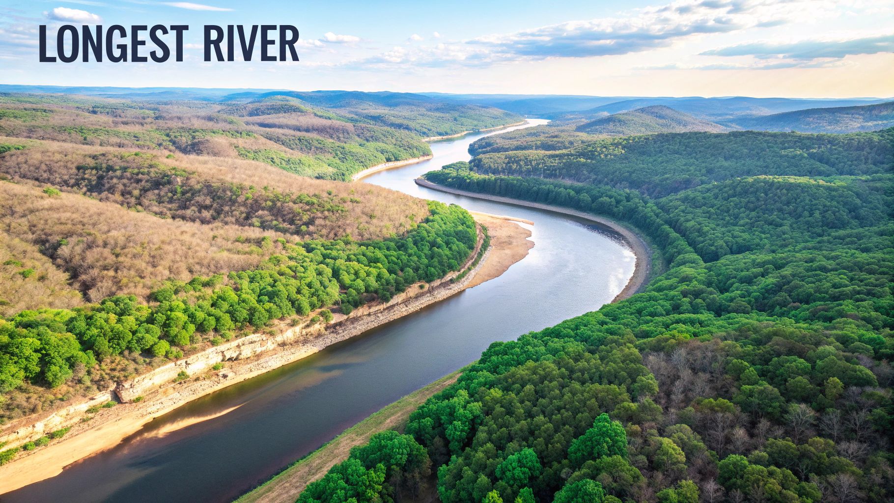
2. Which river is the longest in the world?
This question is a cornerstone of physical geography and a classic entry in any list of geography quiz questions and answers. It appears straightforward, but it often sparks a fascinating debate, usually between the Nile and the Amazon. The widely accepted answer is the Nile River, stretching approximately 6,650 kilometers (4,130 miles), making it an excellent question to test fundamental knowledge while opening the door to a more complex geographical discussion.
The brilliance of this question lies in its nuance. Measuring a river's length is not always simple, as it depends on identifying the most distant source, which can be remote and disputed. This scientific uncertainty, particularly with the Amazon's vast and complex basin, makes the question engaging and educational, teaching participants that geographical "facts" can sometimes be subject to measurement and interpretation.
Why This Question Works
This question is a global standard for assessing geographical literacy, appearing in numerous respected contexts:
- Academic Competitions: A frequent feature in events like the National Geographic Bee, testing core knowledge.
- Educational Materials: Found in geography textbooks and curricula worldwide as a foundational piece of information.
- Documentaries: Popularized by nature documentaries from the BBC and National Geographic that explore these epic waterways.
- Online Quizzes: A staple on digital platforms where it reliably differentiates between casual and dedicated geography fans. You can often find similar questions in a geography quiz game.
How to Use This Question Effectively
Elevate this question from a simple trivia point to a memorable learning moment.
- Introduce the Controversy: After revealing the Nile as the answer, discuss the ongoing debate with the Amazon and explain why its length is harder to pinpoint.
- Provide Historical Context: Discuss the Nile's immense importance to ancient Egyptian civilization, often called "the gift of the Nile."
- Expand Geographically: Mention that the river flows north through 11 different countries before emptying into the Mediterranean Sea.
- Use Visuals: Show a satellite map to illustrate the river's incredible journey through the Sahara Desert, creating a thin, fertile ribbon of life.
3. What is the smallest country in the world by area?
This question is a favorite for testing detailed world knowledge, as it requires moving beyond major nations to the fascinating world of microstates. While many might guess a small island nation or a European principality, the correct answer is Vatican City, an independent city-state enclaved within Rome, Italy. This makes it an essential entry for any list of geography quiz questions and answers, highlighting the unique intersections of religion, history, and political sovereignty.
The power of this question is rooted in its surprising answer. At just 0.17 square miles (0.44 square kilometers), Vatican City is a sovereign territory governed by the Pope. Its status was formalized by the Lateran Treaty of 1929, creating a unique political entity. This historical fact transforms a simple geography query into a lesson about international relations and the modern-day influence of historical powers like the Catholic Church.
Why This Question Works
The question's ability to challenge and educate makes it a go-to for many quiz formats. It is frequently featured in:
- International Quiz Competitions: A standard question to test knowledge of political geography and world extremes.
- Guinness World Records: Often cited in trivia based on world records for its status as the smallest sovereign state.
- Travel and Tourism Courses: Used to teach about unique travel destinations and the concept of micro-nations.
- Comparative Government Studies: An excellent example when discussing different forms of government, such as a theocracy.
How to Use This Question Effectively
Turn this question into a more expansive learning moment to boost engagement and retention.
- Explain the "Why": After revealing Vatican City, discuss the Lateran Treaty of 1929 and how it established its sovereignty, resolving the long-standing "Roman Question."
- Expand the Concept: Follow up with a bonus round asking for the next few smallest countries, like Monaco, Nauru, or San Marino, to expand on the topic of microstates.
- Provide Scale: To help visualize its tiny size, compare it to a familiar landmark. For example, mention that it's about one-eighth the size of New York's Central Park.
4. Which mountain range contains Mount Everest?
This question is a cornerstone of physical geography, testing knowledge of the world's most iconic landforms. While many can name the world's tallest peak, connecting Mount Everest to its home range, the Himalayas, demonstrates a deeper understanding. The correct answer is, of course, the Himalayas, making this a perfect item for any list of geography quiz questions and answers.
The power of this question lies in its connection to extreme environments and human achievement. Located on the border of Nepal and Tibet, Mount Everest is just one of many colossal peaks in this range. The story of its formation, through the tectonic collision of the Indian and Eurasian plates, adds a fascinating scientific layer to what might otherwise be a simple trivia fact.
Why This Question Works
This question is a global standard for a reason, appearing in a wide variety of educational and entertainment formats. You'll often see it in:
- Geology and Earth Science Courses: Used to introduce concepts like plate tectonics and mountain formation.
- National Geographic Documentaries: Frequently featured in films exploring mountaineering, exploration, and natural wonders.
- Outdoor Education Programs: A common question to gauge foundational knowledge of the world's major mountain systems.
- Adventure and Exploration Media: Popularized by the historic ascent of Sir Edmund Hillary and Tenzing Norgay.
How to Use This Question Effectively
Leverage this question to inspire awe and further curiosity about our planet's geography.
- Explain the Tectonics: After revealing the answer, briefly describe how the ongoing collision of tectonic plates causes the Himalayas, including Everest, to continue growing slightly each year.
- Expand the Scope: Follow up by asking about the "Eight-thousanders," the 14 peaks in the world that are more than 8,000 meters high, all of which are located in the Himalayan and Karakoram ranges.
- Discuss the Human Element: Reference the pioneering climbers Edmund Hillary and Tenzing Norgay, whose 1953 summit made the mountain a household name.
5. What is the largest desert in the world?
This is one of the most effective trick questions in any geography quiz, designed to challenge the very definition of a common term. Most people instinctively picture vast, sandy, and hot landscapes, leading them to guess the Sahara. However, the correct answer is Antarctica, which makes this an excellent item for a list of geography quiz questions and answers because it forces a re-evaluation of basic concepts.
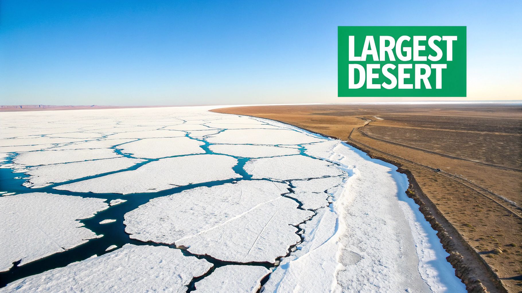
The brilliance of this question is that it's a science lesson disguised as a geography fact. A desert is defined by its low level of precipitation, not its temperature. The Antarctic Polar Desert is the largest desert in the world, covering about 5.5 million square miles, because its extremely cold, dry air receives very little moisture. This fact creates a powerful learning moment that sticks with participants long after the quiz is over.
Why This Question Works
This question's power lies in its ability to dismantle a widely held stereotype. It is frequently used in high-impact educational settings:
- Climate Science Education: Used to introduce students to the concept of polar deserts and different climate classifications.
- Advanced Geography Competitions: A common tool to separate knowledgeable geographers from those relying on popular knowledge.
- Science Museum Quiz Programs: Engages audiences by revealing a surprising and memorable scientific fact.
- Meteorology Coursework: Serves as a fundamental example when teaching about precipitation patterns and climate zones.
How to Use This Question Effectively
To make this question a true educational tool, go beyond the simple answer.
- Explain the "Why": After revealing Antarctica is the answer, clarify that deserts are defined by a lack of precipitation. Contrast the Antarctic Polar Desert with the Arctic Polar Desert.
- Expand the Concept: Follow up by asking, "What is the largest hot desert in the world?" (The Sahara). This reinforces the distinction and gives credit to the popular answer.
- Discuss Characteristics: Use this as a chance to discuss the features of a polar desert, such as ice sheets, dry valleys, and katabatic winds. You can expand on this as you learn more about how to learn world geography on earthchasers.com.
6. Which African country has three capital cities?
This question is a fantastic deep cut for any geography quiz, moving beyond simple "what is the capital of X" formats. The surprising answer is South Africa, a nation with its governmental powers intentionally distributed across three distinct cities. This unique setup makes it an unforgettable piece of trivia and a superb entry for geography quiz questions answers that challenge conventional knowledge.
The answer reveals a fascinating story about the country's history and political structure. The three capitals are Pretoria (executive), Cape Town (legislative), and Bloemfontein (judicial). This division was a compromise established in 1910 with the Union of South Africa to balance power among the formerly separate colonies. It turns a simple quiz question into a lesson on federalism and constitutional history.
Why This Question Works
This question is highly effective because it introduces a complex and unusual governmental structure that most people are unaware of. You'll often see it used in:
- Advanced Geography Competitions: A go-to question to separate knowledgeable contestants from the rest.
- Political Science Courses: Used as a prime example of the separation of powers and decentralised government.
- African Studies Programs: Featured in discussions about post-colonial state formation and political compromises.
- Online Quizzes: A popular choice on platforms aiming to provide genuinely challenging and educational content.
How to Use This Question Effectively
To get the most out of this question, use it as a springboard for a deeper discussion about political geography.
- Explain the "Why": After revealing the answer, detail the function of each capital. Pretoria houses the President and cabinet, Cape Town hosts the Parliament, and Bloemfontein is home to the Supreme Court of Appeal.
- Discuss the History: Briefly touch upon the formation of the Union of South Africa and how this tripartite capital arrangement was a compromise to avoid concentrating all power in one province.
- Expand the Concept: Ask a follow-up question about other countries with more than one capital, such as Bolivia (La Paz and Sucre) or the Netherlands (Amsterdam and The Hague).
7. What is the deepest ocean trench in the world?
This question plunges quiz participants into the fascinating and extreme world of oceanic geography. While many might have a vague idea that the answer lies in the Pacific, the specific name, the Mariana Trench, and its staggering depth make this a compelling entry for any geography quiz. The correct answer is the Mariana Trench, with its deepest point, Challenger Deep, reaching approximately 36,200 feet (11,034 meters).
The power of this question is its ability to evoke a sense of scale and wonder. It connects geography to the frontiers of human exploration and scientific discovery, touching on geology, physics, and biology. Discussing the Mariana Trench opens up conversations about tectonic plates, deep-sea life, and the incredible missions undertaken to explore these crushing depths, making it an intellectually rich addition to a list of geography quiz questions and answers.
Why This Question Works
This question is a favorite for its scientific and exploratory appeal. You'll often find it in:
- Science & Nature Quizzes: A staple in quizzes focused on Earth science, oceanography, and natural wonders.
- Documentaries: Frequently cited in content from National Geographic and Discovery Channel about deep-sea exploration.
- Educational Curricula: Used in geology and marine biology courses to teach about plate tectonics and abyssal zones.
- High-Stakes Trivia: Included in competitive quizzes to test specific knowledge beyond common capital cities and rivers.
How to Use This Question Effectively
Turn this question into a memorable learning moment by providing context and scale.
- Visualize the Depth: After revealing the answer, explain that if Mount Everest were placed in the Challenger Deep, its peak would still be over a mile underwater.
- Highlight Exploration: Mention key expeditions, such as the Trieste in 1960 or James Cameron's solo dive in 2012, to connect the location to human achievement.
- Discuss the Science: Briefly explain that the trench is formed by the process of subduction, where one tectonic plate is forced under another.
- Explore the Conditions: Describe the extreme environment: crushing pressure (over 1,000 times that at the surface), complete darkness, and near-freezing temperatures.
8. Which country has the most time zones?
This question is a fantastic trap for geography enthusiasts who might intuitively guess a large country like Russia or the United States. The surprising answer is France, which holds the record with 12 distinct time zones. This makes it a top-tier entry for any list of geography quiz questions and answers, as it forces participants to think beyond mainland borders and consider the lasting impact of colonial history.
The brilliance of this question lies in its reliance on knowledge of France's overseas territories and departments. These territories are spread across the globe, from French Polynesia in the Pacific to French Guiana in South America and islands like Réunion in the Indian Ocean. This global span requires France to operate across a dozen time zones, revealing a fascinating aspect of modern political geography.
Why This Question Works
This question is highly effective because it challenges a common assumption: that a country's size dictates its number of time zones. It's frequently used in:
- Advanced Geography Quizzes: A perfect question to separate knowledgeable contestants from true experts.
- International Business Courses: Used to illustrate the complexities of global operations, logistics, and communication.
- Colonial History Discussions: Serves as a tangible example of the extensive reach of former European empires and their modern-day remnants.
- Travel and Logistics Education: Highlights the practical challenges of scheduling and coordinating across a single nation's diverse territories.
How to Use This Question Effectively
To make this question more impactful, use it as a starting point for a broader discussion.
- Explain the "Why": After revealing France as the answer, list a few of its overseas territories like Martinique, New Caledonia, and Saint Pierre and Miquelon to illustrate its global presence.
- Expand the Concept: Compare France's 12 time zones (largely overseas) to Russia's 11 contiguous time zones. This contrast adds another layer of geographical understanding.
- Define the Terms: Briefly explain the difference between Metropolitan France (the part in Europe) and Overseas France to clarify how the record is possible.
9. What is the only country that is also a continent?
This question is a fundamental piece of geographical knowledge, perfect for testing a core understanding of how the world is divided. It merges political geography (countries) with physical geography (continents), forcing participants to think about definitions. The straightforward answer is Australia, a nation-continent that stands alone in this unique classification.
This item excels in any list of geography quiz questions and answers because it's both an accessible entry point for beginners and a trigger for deeper discussion. The concept seems simple, but it opens up conversations about continental models and definitions, making it far more than just a trivia fact.
The following bar chart visually contrasts the number of countries on different continents, highlighting Australia's unique status.
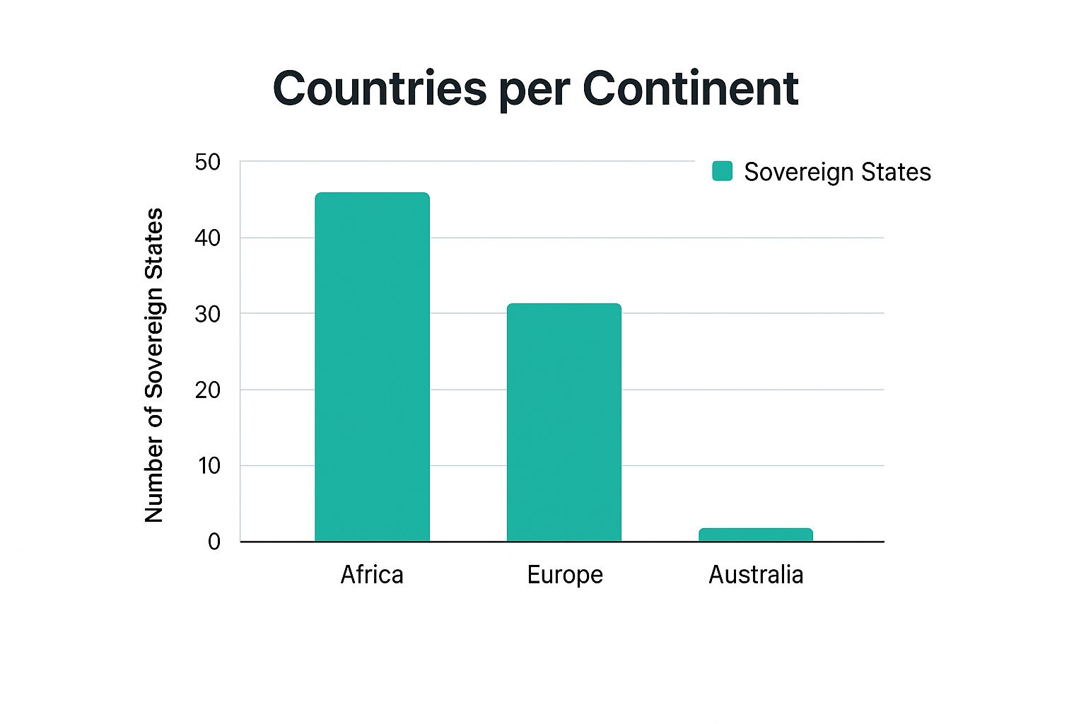
The chart clearly illustrates that while continents like Africa and Europe are mosaics of many nations, Australia is the only landmass that is simultaneously a single country and an entire continent.
Why This Question Works
This question's effectiveness lies in its clarity and its ability to establish a baseline of geographical literacy. You will find it used in:
- Primary Education: A common question in elementary and middle school geography to introduce the concept of continents.
- Introductory Courses: Used in high school and university "World Geography 101" classes as a foundational fact.
- Online Learning Platforms: Featured in beginner-level quizzes on sites like Kahoot! and National Geographic Education.
- Textbook Examples: Frequently cited in educational materials to explain the difference between political and physical landmasses.
How to Use This Question Effectively
To make this question more engaging, use it as a starting point for exploring more complex geographical ideas.
- Explain the "Why": Discuss the geological definition of the Australian continent, which includes the mainland, Tasmania, and New Guinea, but politically, the country is the Commonwealth of Australia.
- Expand the Concept: Introduce the term Oceania, the broader region that includes Australia, New Zealand, Papua New Guinea, and the Pacific Islands. This clarifies why some models don't just list "Australia" as a continent.
- Compare Sizes: Follow up by asking how Australia, the smallest continent, compares in size to the largest countries, like Russia or Canada, to provide scale.
10. Which two countries share the longest international border?
This question is a cornerstone of any North American geography quiz, yet it often surprises people with its scale. Many might think of vast borders like Russia-China or Chile-Argentina, but the correct answer is the United States and Canada. This entry is a fantastic addition to a list of geography quiz questions and answers because it challenges perceptions of size and political relationships.
The border spans an impressive 5,525 miles (8,891 kilometers) and is famously known as the longest undefended international border in the world. This fact adds a layer of political and cultural significance to a seemingly simple geographic statistic, making the answer more memorable and impactful for quiz participants. It's a testament to the peaceful relationship between the two nations.
Why This Question Works
The question is a favorite for its blend of geography and international relations. It's widely used in:
- North American Studies: A foundational question in courses exploring the continent's geography and political landscape.
- International Relations Discussions: Frequently cited as a prime example of peaceful coexistence and bilateral cooperation.
- Border Security Education: Used to contrast a peaceful, open border with more heavily militarized borders elsewhere.
- Canadian-American Cultural Exchanges: A popular trivia item that highlights the close ties between the two countries.
How to Use This Question Effectively
To make this question more engaging, move beyond just the answer.
- Explain the 49th Parallel: Mention that a significant portion of the border west of the Great Lakes follows the 49th parallel, a line of latitude established by historical treaties.
- Discuss its Peaceful Nature: Contrast the US-Canada border with other long borders that are heavily fortified, sparking a discussion about diplomacy.
- Compare with Other Borders: Ask follow-up questions about the second-longest border (Kazakhstan-Russia) to provide global context. Visualizing these vast distances on a map can be particularly effective; explore tools that help you visualize international boundaries on earthchasers.com.
- Include Alaska: Remind participants that the total length includes the 1,538-mile border between Canada and Alaska.
Top 10 Geography Quiz Questions & Answers Comparison
| Item | Implementation Complexity 🔄 | Resource Requirements ⚡ | Expected Outcomes 📊 | Ideal Use Cases 💡 | Key Advantages ⭐ |
|---|---|---|---|---|---|
| What is the capital of Australia? | Low - simple question | Minimal - basic geography knowledge | Reveals misconceptions about capitals | General quizzes, educational settings | Educational value; exposes common misconceptions |
| Which river is the longest in the world? | Medium - involves comparative knowledge | Moderate - requires some measurement | Encourages discussion on geography and history | Educational contests, general knowledge quizzes | Connects geography with civilization history |
| What is the smallest country in the world? | Medium - specific political geography | Moderate - knowledge of microstates | Highlights unique political sovereignty | Political geography, travel courses | Fascinating geopolitical example; memorable fact |
| Which mountain range contains Mount Everest? | Low - straightforward knowledge | Minimal - basic physical geography | Inspires interest in adventure and tectonics | Adventure education, earth science courses | Engages with exciting topics; educational tectonics |
| What is the largest desert in the world? | Medium - requires understanding desert definitions | Moderate - climate knowledge | Challenges misconceptions about deserts | Climate science education, advanced geography competitions | Surprising fact; enhances climate literacy |
| Which African country has three capital cities? | High - complex political geography | High - needs knowledge of government | Explains federal system complexity | Political science, advanced geography | Unique political fact; educates on governance systems |
| What is the deepest ocean trench in the world? | Medium - specialized oceanography | Moderate - marine science background | Sparks interest in marine exploration and geology | Marine science, educational documentaries | Connects to cutting-edge deep-sea exploration |
| Which country has the most time zones? | Medium - political and territorial geography | Moderate - understanding territories | Educates about colonial legacy and global timekeeping | International relations, business geography | Surprising political-geography insight |
| What is the only country that is also a continent? | Low - clear-cut fact | Minimal - general geography knowledge | Clarifies continent classification | Basic geography education, introductory courses | Simple, unambiguous fact; foundational knowledge |
| Which two countries share the longest border? | Low - factual boundary question | Minimal - North American geography | Educates on international relations and peaceful borders | Geopolitical studies, border security education | Positive example of cooperation; relevant political fact |
Keep Exploring: Your Geographic Journey Continues
So, how did you fare on our geographic expedition? Whether you sailed through the questions like a seasoned explorer or discovered a few new landmarks along the way, you've successfully navigated a cross-section of our planet's most fascinating facts. This collection of geography quiz questions answers serves as more than just a test of knowledge; it’s a launchpad for deeper curiosity about the world we inhabit.
From identifying the capital of Australia to pinpointing the world's longest river, each question peels back a layer of the intricate and interconnected systems that define our planet. You’ve journeyed from the soaring heights of the Himalayas to the abyssal depths of the Mariana Trench, all from the comfort of your screen. This quiz demonstrates that geography is not merely about memorizing names and locations. It’s about understanding the "why" behind the "where": why capitals are established, how geological forces shape our landscapes, and how political boundaries create unique cultural tapestries.
From Trivia to Tangible Knowledge
The real value of engaging with geography quiz questions answers lies in transforming these tidbits of information into a more profound appreciation for global dynamics. Knowing that France has the most time zones, for instance, opens a door to understanding its colonial history and overseas territories. Recognizing that South Africa has three capitals provides a window into its complex political and historical structure, designed to distribute power and honor its diverse heritage.
This is the true power of geographic literacy. It equips you with a mental map that enriches your understanding of global news, history, and even travel. The world becomes a more vibrant, logical, and fascinating place when you can connect the dots between a country's physical features and its cultural identity.
Your Next Steps on the Global Stage
Don't let your journey end here. The pursuit of geographical knowledge is a lifelong adventure with endless paths to explore. Here are a few actionable ways to continue building on what you've learned today:
- Host Your Own Quiz Night: Challenge friends and family with the questions from this list or create your own. Friendly competition is an excellent way to reinforce knowledge and share the fun of discovery.
- Deep Dive into a Topic: Did a particular question spark your interest? If learning about the world's smallest country, Vatican City, was intriguing, spend an afternoon researching its unique history, governance, and culture.
- Explore with Interactive Tools: Use digital mapping tools like Google Earth to virtually visit the locations mentioned. "Fly" over the Nile River from its source to the sea, or explore the rugged terrain of the Andes. Visualizing these places brings them to life in a way that text alone cannot.
Ultimately, the goal is to keep that spark of curiosity alive. Every map is a storybook, and every border is a conversation. By continuing to ask questions and seek answers, you are not just learning facts; you are becoming a more informed and engaged global citizen.
Ready to turn your knowledge into an interactive adventure? EarthChasers transforms the world into your playground, offering a dynamic gaming experience where you can solve puzzles and complete quests based on real-world geography. Put your skills to the test and see the planet like never before by visiting EarthChasers to start your quest
Article created using Outrank