Conquer Your South America Map Quiz
Ace your South America map quiz with expert strategies. Learn countries, capitals, and proven memory techniques to master the continent and boost your score.
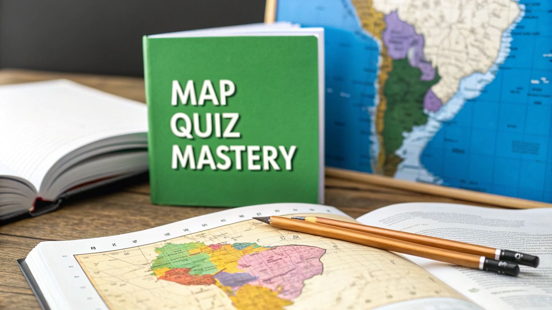
A South America map quiz might seem daunting at first. Twelve countries to place on a map? It's a classic classroom challenge that can feel like pure, painful memorization.
But what if I told you there's a better way? With the right approach, you can turn this into a genuinely fun and rewarding exercise. This guide will help you build a mental map so solid that recalling each country's location feels less like a test and more like second nature.
Starting Your South America Map Adventure
Think of a quiz on South America's geography not as a test, but as an invitation to explore a continent packed with vibrant cultures and stunning landscapes. The task is simple: place 12 unique countries correctly. But the secret isn't just staring at a map for hours. The real key is building a lasting mental framework.
It’s a lot like learning your way around a new neighborhood. On your first day, you only know the major landmarks. But soon, you start connecting the smaller streets and figuring out how everything fits together. That's exactly how we'll tackle this map.
Big Landmarks First
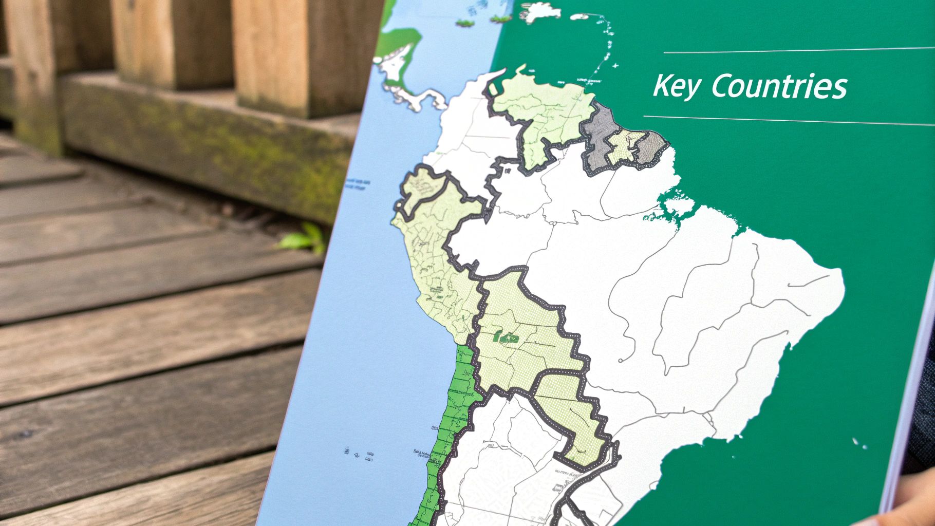
Just like in a new city, start with the most obvious features. A few countries, thanks to their sheer size or distinctive shape, make perfect anchor points for your mental map.
- Brazil: This is your starting point. It's enormous, covering almost half the continent. You can't miss it.
- Chile: Look for the long, impossibly skinny country running down the Pacific coast. It’s unmistakable.
- Argentina: Right next to Chile, forming the southern cone of the continent.
The data confirms this is the best strategy. On one popular online quiz, people correctly identified Brazil 96% of the time. Chile followed close behind at 93%, with Argentina at 90%. Meanwhile, smaller, less distinct countries like Guyana and Suriname were only identified correctly about half the time. You can see the full breakdown of these South America map quiz statistics on JetPunk.com.
Mastering these three key countries first gives you a solid foundation to build on. Once they're locked in, filling in the surrounding nations becomes a much simpler process of just connecting the dots.
By using these bigger countries as reference points, you can start placing their neighbors with surprising accuracy. You can even take it a step further by creating your own visual aids with a custom map creator to highlight these regional groups and really cement them in your memory.
Why Knowing the Map Builds Smarter Skills
Acing a South America map quiz isn't just a memory trick—it's serious mental gymnastics. Every time you lock in a country's location, you're forging stronger neural pathways for spatial reasoning and visual recall.
Think of it like putting together a jigsaw puzzle, but without the picture on the box to guide you. You start to recognize the unique shapes, see how they fit together, and gradually build a complete picture in your mind. This powerful cognitive skill, known as spatial thinking, is the same one used by everyone from architects to artists.
Connecting Geography to the Real World
Beyond the brain-building benefits, a mental map gives you an instant framework for understanding what's happening in the world. When you read about a trade deal, a political shift, or an environmental crisis in South America, that map in your head immediately lights up, showing you exactly where it's all unfolding.
For instance, knowing that Bolivia is one of only two landlocked countries on the continent instantly adds color to news stories about its economy or its historic quest for sea access. This isn't just trivia; it's the context that turns abstract headlines into tangible realities. It connects the "where" to the "why."
A map is far more than a drawing of borders and names. It's a storybook of history, culture, and economics. Learning the layout of South America gives you the key to read its intricate and fascinating stories.
This deeper grasp also unlocks a new appreciation for the human side of geography. The continent’s dramatic physical features, from the towering Andes to the massive Amazon Basin, have directly shaped the cultures that grew there. To see how landscapes mold human identity, take a look at our guide on what is cultural geography.
Building Transferable Analytical Skills
The skills you sharpen while prepping for a map quiz are incredibly versatile. You're not just memorizing facts; you're spotting patterns, making logical connections, and organizing information in your head.
Believe it or not, these are the same core skills you use when you:
- Solve problems: Breaking down a huge, complex map into smaller regions is a classic problem-solving strategy.
- Analyze data: Finding geographical patterns is a lot like spotting trends in a spreadsheet.
- Think critically: You start asking smarter questions, like why borders look the way they do or how a river impacts politics.
In the end, tackling a South America map quiz does so much more than prepare you for a test. It sharpens your mind, deepens your global awareness, and gives you a set of analytical tools you can use just about anywhere. It's a challenge that pays you back long after you've finished.
Proven Strategies for Learning the Map
Staring at a full map of South America can feel like an impossible task, a bit like trying to memorize a phone book in one go. But here's the secret: the goal isn't to learn through brute force. It's about working smarter, not harder. The most effective approach is to break the continent down into smaller, more manageable pieces—a method known as regional chunking.
Instead of trying to absorb 12 countries all at once, you start to see them in logical clusters. Think about learning a sports team; you wouldn't memorize every player's name simultaneously. You'd likely start with the star players or group them by position. Applying that same logic to a South America map quiz turns an overwhelming challenge into a series of achievable steps.
The Power of Regional Chunking
This strategy is all about grouping countries by their geographic location, which often means they share similar histories and cultures too. By focusing on just one small group at a time, you build a solid mental anchor for those countries before moving on to the next region. It’s a game-changer.
For instance, you could easily divide the continent into three logical zones:
- The Andean States: These are the countries lined up along the massive Andes mountain range. This group includes Colombia, Ecuador, Peru, and Bolivia.
- The Southern Cone: This is the continent's tapered southern end. Here you’ll find Chile, Argentina, Paraguay, and Uruguay.
- The Northern & Atlantic Giants: This massive region is dominated by Brazil, but also includes the Guianas (Guyana, Suriname), and Venezuela.
When you master one region before starting another, you build a layered understanding of the continent's layout. This structured method helps you avoid common mistakes, like mixing up similarly located countries.
A great way to organize your study sessions is to break the continent down into these logical regions. It makes the task feel much less daunting.
South America Study Guide by Geographic Region
| Region | Countries | Key Geographic Feature |
|---|---|---|
| The Andean States | Colombia, Ecuador, Peru, Bolivia | Runs along the Andes Mountains |
| The Southern Cone | Chile, Argentina, Paraguay, Uruguay | Tapers to the southernmost point |
| The Atlantic North | Brazil, Venezuela, Guyana, Suriname, French Guiana | Borders the Atlantic Ocean in the north and east |
By tackling one row of this table at a time, you can focus your efforts and build confidence as you go.
Using Visuals and Mnemonics
Once you've got your regions sorted, the next step is to use visual tricks and memory aids to make the information stick. Our brains are hardwired to remember images and stories far better than abstract names on a map. Simple associations can lock a country's location into your memory for good.
Many people find it incredibly helpful to connect a country’s shape to a familiar object. Chile's long, skinny form is famously compared to a chili pepper. It’s almost impossible to forget once you see it. Brazil’s massive landmass dominates the eastern coast like a giant shield, protecting the smaller countries inland. These visual hooks are surprisingly powerful.
Think of your brain as a messy closet. Just tossing in 12 country names makes them hard to find later. But if you create labeled bins for each region and attach a memorable image to each item, you can find exactly what you need in seconds.
This blend of regional grouping and visual aids is a well-respected learning strategy. Many geography experts suggest breaking continents into zones like the Northern, Andean, and Southern Cone regions to make learning easier. You can explore more about these quiz preparation techniques to see just how effective they can be.
This image shows a close-up of an atlas opened to South America, with pins marking capital cities—another fantastic layer to add to your geographic knowledge.
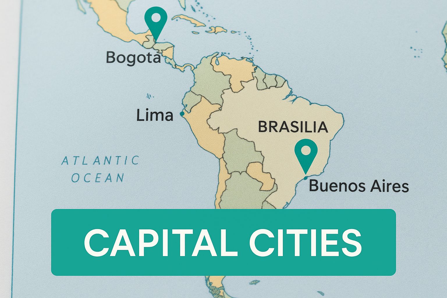
Visualizing not just the countries but their major cities adds another dimension to your mental map, connecting political borders to the real-world centers of culture and population.
Overcoming Common Quiz Mistakes
Every quiz has its classic stumbling blocks, and a South America map quiz is no different. A few countries seem almost intentionally designed to trip you up, but knowing where the traps are is the first step to avoiding them. Once you spot these common points of confusion, you can turn them into guaranteed correct answers.
Think of it like learning a tricky riff on a guitar. At first, your fingers just won't cooperate. But after practicing that specific part over and over, it becomes muscle memory. We'll take that same approach to the trickiest spots on the South American map.
Untangling the Guianas
The single most common mix-up? That trio of small nations on the northeastern coast: Guyana, Suriname, and French Guiana. They're similar in size and squished together, making them incredibly easy to get wrong.
Here's a simple mnemonic to lock them in place. Just remember "Green Smoothies are Fantastic" to get their order from west to east: Guyana, Suriname, French Guiana. Say it a few times while looking at the map, and the order will start to feel natural.
What often adds to the confusion is French Guiana's unique status. It’s on the South American continent, but it’s not an independent nation like its neighbors. It's actually an overseas department of France, a detail that catches many people by surprise. Knowing this is key, as it's a favorite "trick question" and explains why it's sometimes colored differently on political maps. You can learn more about the status of these unique territories on GeoGuessr.
The Landlocked Challenge
The other major hurdle is placing the continent's two landlocked countries: Bolivia and Paraguay. Tucked away in the heart of the continent, they don't have coastlines to help anchor them in your mind, so students frequently swap them.
A quick visual trick can solve this for good:
- Bolivia: Look for the bigger, more square-shaped country sitting higher on the map. Just think, "Bolivia is Bigger and aBove."
- Paraguay: This one is smaller and nestled just below Bolivia. I like to think of it as the smaller partner paired with its big neighbor—which sounds a lot like "Pair-aguay."
The real secret to mastering a South America map quiz isn't just knowing Brazil or Argentina. It's about nailing the tough spots. By giving a little extra focus to the Guianas and the landlocked nations, you build a mental map that won't fall apart when the pressure is on.
These common mistakes aren't roadblocks; they're opportunities. By tackling them head-on with a few simple memory tricks, you move from just recognizing countries to truly knowing the map. A little focused practice here will pay off big time on quiz day.
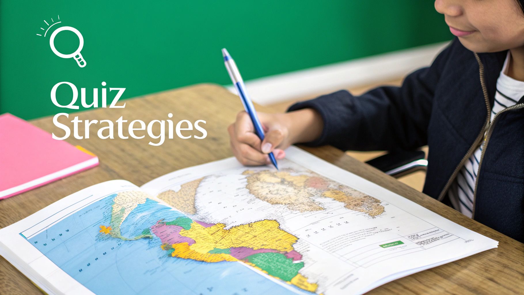
Test Your Knowledge with Practice Questions
Alright, theory is great, but now it's time to get your hands dirty. A well-designed South America map quiz is more than just a test; it's an active learning tool that cements what you know and shines a spotlight on what you don't... yet.
Think of this section as a friendly scrimmage before the championship game. It’s a chance to see which mental shortcuts and visual cues have really stuck and which ones might need a bit more practice. Let’s see how that mental map of yours is coming along.
Sample Quiz Questions
Let's run through a few common types of questions you'll encounter. As you answer, try to actively recall the memory tricks we talked about instead of just guessing. There are tons of great interactive quizzes online, but these examples will give you a taste of what to expect.
Question 1: Identifying Countries
Take a look at the map. Can you name the country marked with the number 1?
- A) Uruguay
- B) Paraguay
- C) Bolivia
Answer Explanation: The correct answer is C) Bolivia. Remember our trick for the two landlocked countries? Bolivia is the bigger one that sits "aBove" Paraguay. Easy peasy.
Question 2: Matching Capitals
What is the capital of Colombia?
- A) Lima
- B) Quito
- C) Bogotá
Answer Explanation: The correct answer is C) Bogotá. A simple trick is to link the "Co-" in Colombia with the double "o" sound in Bogotá.
This kind of active recall is everything. It's not about just getting it right; it's about cementing the why. Each time you correctly retrieve a piece of information, you're strengthening the neural pathways that lead to it, making it easier to find next time.
If you're looking to branch out, taking a general countries map quiz is a fantastic way to apply these same learning strategies to the rest of the world.
South American Countries and Capitals Quick Reference
Sometimes you just need a straightforward cheat sheet. Use this table for a quick review to build stronger connections between countries, their capitals, and a unique geographic tidbit to help it all stick.
| Country | Capital City | Distinguishing Geographic Fact |
|---|---|---|
| Argentina | Buenos Aires | Home to Ushuaia, the southernmost city in the world. |
| Brazil | Brasília | The only country crossed by both the Equator and the Tropic of Capricorn. |
| Chile | Santiago | The world's longest country, stretching over 4,300 km from north to south. |
| Peru | Lima | Contains the headwaters of the mighty Amazon River. |
Using both active practice questions and quick-reference tools like this table is a one-two punch for effective learning. You're not just memorizing isolated facts; you're building a connected, functional knowledge of South American geography. Keep at it, and you'll be acing any quiz in no time.
Advance Your Geography Skills
Okay, so you've nailed the political map of South America. Fantastic! That’s a huge first step, but it's really just the beginning of the adventure. Think of it like this: you've learned the alphabet, and now you're ready to start reading some incredible stories.
This is where the real fun begins. You can start connecting those country outlines to the actual landscapes, bustling cities, and vibrant cultures that make the continent so alive. It's time to go beyond the borders and dig into the details. This is the moment a study goal often turns into a genuine passion.
New Quizzes to Tackle
Ready to level up? There are a bunch of different quizzes that can deepen your understanding and keep things interesting. Give these a try to see how much you really know:
- Physical Features: Can you find the spine of the Andes Mountains, trace the winding path of the Amazon River, or pinpoint the vast Pampas grasslands? This is where the continent's stunning natural world comes to life on your mental map.
- Major Cities: Forget just the capitals for a minute. Can you locate major hubs like Rio de Janeiro, Medellín, or Guayaquil? This adds the human element back into the geography.
- National Flags: This one is a colorful and surprisingly fun challenge. It connects a country’s identity directly to the shape you’ve already worked so hard to memorize.
Branching out into new quiz types is like adding layers to a painting. The country outlines are your initial sketch, but the physical features, cities, and flags add all the color, texture, and depth that make the picture complete.
Tools for Continued Exploration
To keep the momentum going, a few online platforms make learning incredibly engaging. A site like Jetpunk is a goldmine for geography nerds, packed with thousands of user-made quizzes on everything from rivers to flags and beyond.
If you're looking for something more game-like, check out apps like Blooket. They turn location practice and vocabulary into a fast-paced, competitive game. These tools give you instant feedback and a real sense of progress, which makes it easy to stay motivated. With resources like these, your journey into South American geography is really just getting started.
Common Questions About Acing Your South America Map Quiz
As you get ready for a South America map quiz, a few key questions always seem to come up. Nailing down the answers to these can really help you focus your study time and walk into the test feeling prepared. Let's clear up those last-minute uncertainties.
What Is the Fastest Way to Learn the Countries?
The best trick is regional chunking. Don’t try to memorize all twelve countries in one go. You'll just get overwhelmed.
Instead, break the continent into smaller, more manageable zones. For example, master the Andean nations first (Colombia, Ecuador, Peru, Bolivia). Once you have those down cold, move on to the Southern Cone (Chile, Argentina, Uruguay, Paraguay). This approach turns a massive task into a series of small, satisfying wins.
Which Countries Are Most Commonly Confused?
From what I've seen, two spots on the map consistently trip people up. The first is the cluster of the three Guianas (Guyana, Suriname, and French Guiana) on the northeastern coast. Their similar size and location make them easy to mix up.
The other tricky pair are the landlocked nations of Bolivia and Paraguay. They're right in the heart of the continent and often get swapped. It's a smart move to spend a little extra time drilling on these specific trouble spots.
Think of these tricky areas as the final bosses of your map quiz. By giving them special attention and using specific memory tricks, you ensure they become easy points instead of pitfalls.
Are There Good Apps for Practice?
Absolutely. There are some fantastic interactive websites like Seterra and JetPunk that make practicing way more engaging than just staring at a map. Their quizzes are a great way to actively test what you know.
There are also plenty of mobile apps that turn learning into a game. Being able to practice on the go makes a huge difference in making the information stick.
Ready to put your geography skills to the ultimate test? EarthChasers offers a 3D gaming experience where you can explore the world, take on challenges, and see the planet in a whole new way. Start your adventure today.