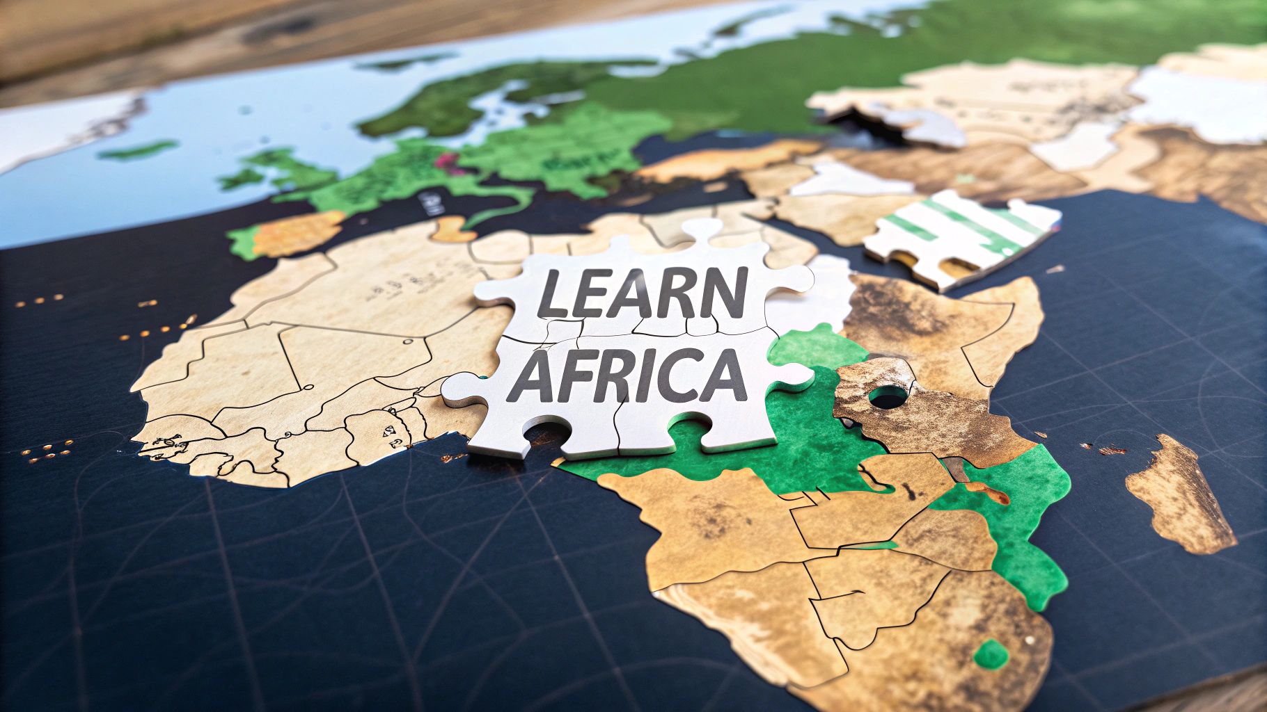
A Smarter Way to Learn Africa Countries
Tired of forgetting capitals? Our guide makes it easy to learn Africa countries with regional breakdowns, memory tricks, and interactive quiz tools.
Learning all 54 countries in Africa can feel like an impossible climb, but it doesn't have to be. Forget trying to brute-force memorize a long, intimidating list. The real secret is using a smart, strategic system.
We're going to break the continent down into smaller, more digestible regions and use some clever memory tricks to make the information stick for good.
Your Journey to Mastering African Geography Begins Here
Trying to learn all of Africa's countries at once is like trying to eat an entire pizza in one bite—it's just messy and you won't enjoy it. There's a much better way.
This guide gives you a clear, step-by-step path to building a solid mental map of the entire continent, from the shores of Morocco down to the tip of South Africa. We'll turn that overwhelming list of 54 countries into a structured, logical system that actually makes sense.
It all starts by dividing the continent into five distinct geographical regions. This powerful learning technique, known as "chunking," is the foundation for making huge amounts of information manageable and easy to remember. To see how this fits into a bigger strategy, check out our complete guide on how to learn world geography.
What You Will Discover in This Guide
This is more than just a list of countries and their capitals. We're going to give you the actual tools to make this information memorable and, believe it or not, fun.
Here’s a sneak peek at what’s inside:
- Regional Breakdown: We'll start by neatly dividing Africa into five regions (Northern, Western, Central, Eastern, and Southern). This simple step alone makes the whole process feel less intimidating.
- Practical Memory Aids: You'll get creative associations and storytelling techniques to finally connect countries to their capitals and flags. Think of things like linking a flag's colors to a key piece of its history or a unique geographical feature.
- Interactive Reinforcement: We'll show you how to use free tools like EarthChasers to actively test what you've learned. This turns passive reading into active practice, which is where real, lasting knowledge comes from.
By the time you're done with this guide, you won't just be rattling off names. You'll actually understand where each country belongs on the map and have the skills to recall them without breaking a sweat.
Building Your Mental Map One Region at a Time
Trying to memorize all of Africa's countries at once is a surefire way to get overwhelmed. The continent is absolutely massive, home to 54 nations, each with its own unique identity. Tackling that entire list head-on is like trying to eat an elephant in one bite.
A much smarter approach is to break it down. It’s a learning technique called chunking, and it works wonders.
Think about how you’d put together a huge jigsaw puzzle. You wouldn't just stare at a mountain of a thousand pieces, right? Of course not. You'd start by sorting them—finding all the straight-edge pieces for the border, grouping colors, and tackling one small section at a time. We're going to apply that exact same logic to the map of Africa, dividing it into five distinct regions.
This simple shift turns a daunting list of names into a well-organized system. You’re essentially creating a mental filing cabinet, making it infinitely easier to store and retrieve information for each country.
The Five Major Regions of Africa
To get started, let's build that mental framework by organizing the continent into these five manageable zones. This structure is your first step toward real mastery.
- Northern Africa: This is the continent's crown, stretching along the Mediterranean Sea. It's where you'll find countries like Egypt, Algeria, and Morocco.
- Western Africa: This region has the most countries, including powerhouses like Nigeria and coastal nations such as Ghana and Senegal.
- Central Africa: Sitting right on the Equator, this area is dominated by the immense Congo Basin and includes countries like the Democratic Republic of Congo and Cameroon.
- Eastern Africa: Famous for the Great Rift Valley and incredible wildlife, this region runs from Ethiopia down to Tanzania and is home to island nations like Seychelles.
- Southern Africa: This is the continent's southern tip, featuring South Africa, Botswana, and the truly unique island of Madagascar.
This whole process can be boiled down to three core pillars: chunking the continent into regions, memorizing the countries within them, and then practicing until it sticks.
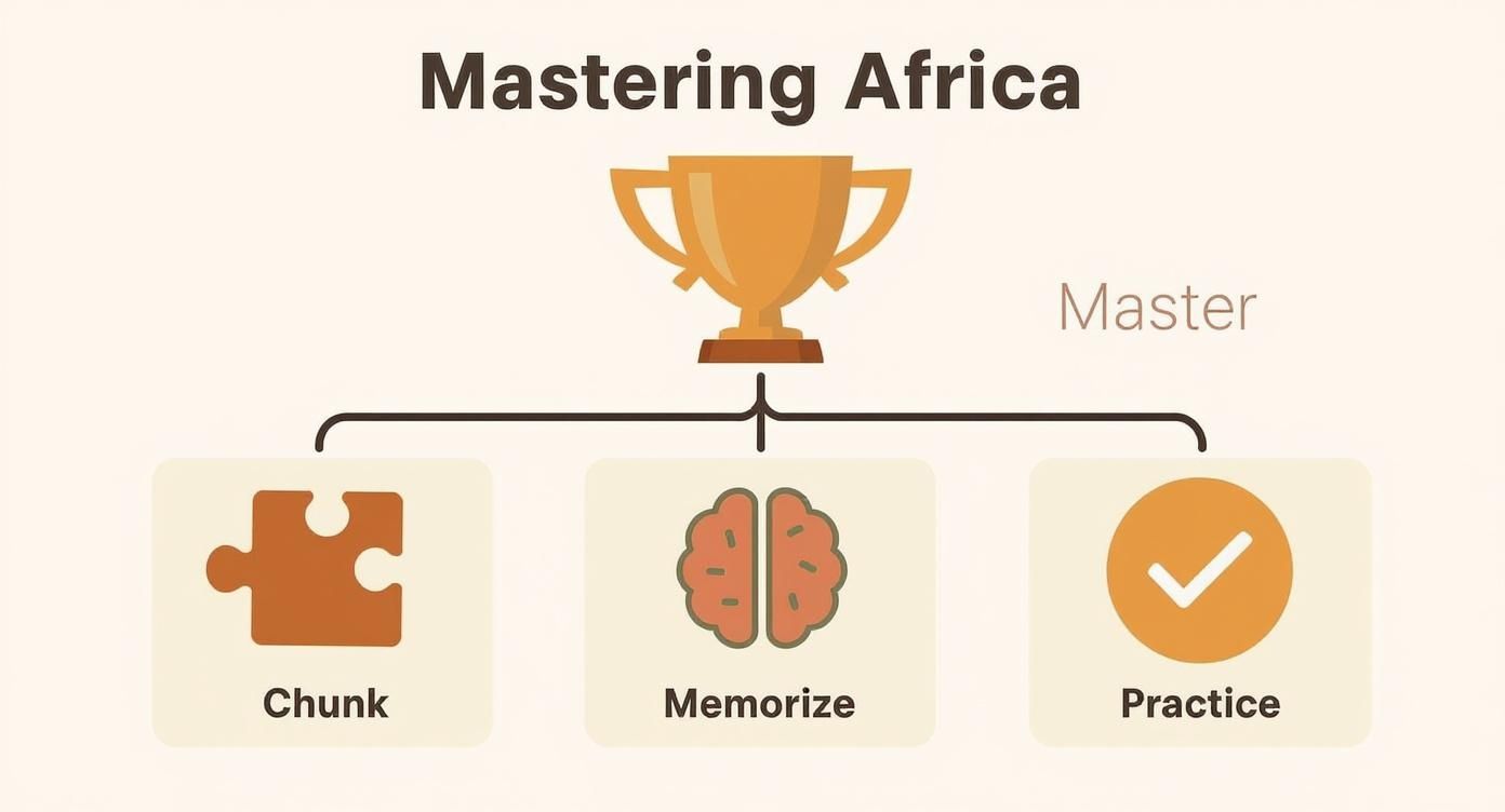
By kicking things off with this "chunking" method, you're laying down a solid foundation that makes the memorization and practice stages feel natural, not forced.
To help you get organized, here’s a clear breakdown of all 54 countries sorted into their respective regions.
Africa's 54 Countries by Geographic Region
| Northern Africa | Western Africa | Central Africa | Eastern Africa | Southern Africa |
|---|---|---|---|---|
| Algeria | Benin | Angola | Burundi | Botswana |
| Egypt | Burkina Faso | Cameroon | Comoros | Eswatini |
| Libya | Cabo Verde | Central African Rep. | Djibouti | Lesotho |
| Morocco | Côte d'Ivoire | Chad | Eritrea | Madagascar |
| Sudan | The Gambia | Congo | Ethiopia | Malawi |
| Tunisia | Ghana | Dem. Rep. of Congo | Kenya | Mauritius |
| Guinea | Equatorial Guinea | Rwanda | Mozambique | |
| Guinea-Bissau | Gabon | Seychelles | Namibia | |
| Liberia | São Tomé & Príncipe | Somalia | South Africa | |
| Mali | South Sudan | Zambia | ||
| Mauritania | Tanzania | Zimbabwe | ||
| Niger | Uganda | |||
| Nigeria | ||||
| Senegal | ||||
| Sierra Leone | ||||
| Togo |
This table gives you a bird's-eye view of the entire continent, broken down into the chunks we'll be tackling. It’s your new cheat sheet!
This regional approach is more than just a memory trick. It actually reflects the continent's deep cultural, economic, and environmental divides. Grouping countries this way gives you context, making the facts you learn far more meaningful.
And speaking of context, it's impossible to ignore Africa's incredible population boom. By 2050, the continent's population is projected to hit 2.4 billion, a staggering figure that nearly doubles the projections from early 2025. This explosion is happening fastest in Sub-Saharan Africa, which makes understanding the individual nations driving this change more critical than ever.
As you start to get familiar with these regions, a hands-on approach works best. Go ahead and grab a printable blank map of Africa. Start by sketching out the five regions, then begin filling in the countries as you learn them. There's something powerful about physically writing and drawing that helps lock the map into your brain for good.
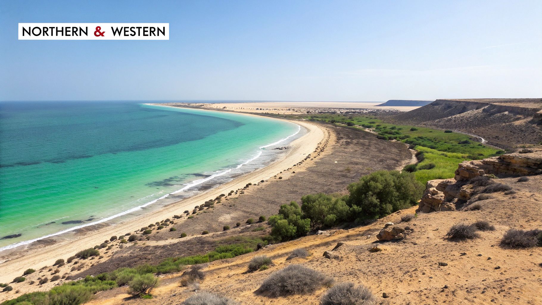
Let's Tackle Northern and Western Africa with Some Memory Magic
Alright, with our regional framework sorted, we can start putting the individual countries on the map. It's kind of like decorating a house—we've got the rooms laid out, and now it's time to add the furniture and personal touches that make it a home. We'll kick things off along the Mediterranean coast of Northern Africa before swinging down into the bustling, vibrant countries of Western Africa.
This isn't about memorizing a dry list of facts. The whole point is to forge a connection between a country's name and something you can actually picture, turning abstract words into concrete ideas. To truly learn Africa countries, we need to build associations that actually stick around.
Anchoring the Countries of Northern Africa
Northern Africa is the perfect place to start. It’s a clean, self-contained region, neatly bordered by the Mediterranean Sea to the north and the massive Sahara Desert to the south. This makes it a really easy "chunk" to visualize on your mental map.
Let's start in the east with Egypt, a country synonymous with ancient history. You can link its capital, Cairo, to the pyramids by imagining yourself climbing them very carefully. Just think, "Care-o, or you'll fall!" Easy.
Moving west, you hit Libya, with its capital Tripoli. The "Tri" is your golden ticket here; just picture three ancient ports ("tri-ports") buzzing with activity along its coast.
Next up is Tunisia, and its capital Tunis—that one's a freebie since the names are so similar. Then comes Algeria, Africa's biggest country by area. Its capital, Algiers, is another one that's hard to mix up. Finally, we land on the Atlantic coast in Morocco, with its capital Rabat. For this one, I like to imagine a Moroccan king wearing a colorful "robe" while sitting on a "bat-shaped" throne.
See what we're doing here? These simple word associations, or mnemonics, give your brain a hook to hang new information on. It connects an unfamiliar name like "Rabat" to a familiar image ("robe" and "bat"), making it way easier to recall later.
Diving Into the Diversity of Western Africa
Now, let's head south into Western Africa. This region is a powerhouse, home to 16 countries and an incredible amount of cultural and economic diversity. This is where our chunking strategy really starts to shine, keeping us from getting swamped by all the new names.
You’ll find some of the continent's most populated nations here, and the contrasts are huge. Nigeria is the undisputed giant, holding about 15.4% of Africa's total population. After that, you have Ethiopia at 8.7%, Egypt at 7.7%, and the DR Congo at 7.1%. What’s really striking is how young the continent is—as of 2021, around 60% of the population was under the age of 25. This creates both massive potential and some serious challenges. You can dig deeper into these numbers over at Wikipedia's page on Africa's population dynamics.
Now, let's pin some of these countries down with memory tricks.
Memory Tricks for West African Capitals
When you’re dealing with a bigger region, you need a mix of techniques. Here are a few that work wonders for West Africa:
Nigeria: The capital is Abuja. Picture discovering "A big jewel" right in the center of this huge, influential nation. That visual helps lock in the name.
Ghana: Its capital is Accra. Ghana is famous for its gold, right? So just imagine counting "A stack-ra" gold bars. This connects the capital’s sound to one of the country's most famous resources.
Senegal: The capital is Dakar. This one is a gift. Senegal is home to the legendary Dakar Rally, one of the most grueling off-road races in the world. A direct, real-world connection like this is the strongest memory aid you can get.
Togo: The capital is Lomé. A simple little rhyme works perfectly: "Go to Lomé." Don't knock it—sometimes the simplest tricks are the ones that stick the best.
Finding Patterns in Flags
Another fantastic way to learn African countries is by spotting patterns, especially in their flags. Many West African nations fly the Pan-African colors—red, yellow, and green. This color scheme was inspired by the flag of Ethiopia, a powerful, long-standing symbol of African independence.
When you notice these shared colors, you can start grouping countries visually in your mind. If you see a flag with that vibrant trio, your brain can instantly narrow its location down to this part of the continent.
- Green: Usually stands for the rich land and agriculture.
- Yellow/Gold: Often symbolizes wealth, sunshine, and mineral resources.
- Red: Typically represents the blood shed during the fight for independence.
Countries like Ghana, Senegal, Guinea, and Mali all feature these colors in their flags. By looking for these visual clues, you're adding another layer to your mental map. You're not just connecting geography to names, but also to shared history and identity. This multi-layered approach makes your knowledge far more robust and a whole lot harder to forget.
Navigating the Diverse Lands of Central and Eastern Africa
Alright, we've wrapped up our tour of West Africa's vibrant coastlines. Now, it's time to push inland, first into the continent's very heartland—Central Africa—and then across to the sweeping savannas of the East.
Central Africa is a land dominated by the immense Congo River Basin, dense rainforests, and powerful rivers. From there, we'll journey into Eastern Africa, a region defined by the iconic Great Rift Valley and its incredible wildlife. To really learn Africa countries, we'll stick with our creative memory aids, turning dry facts into vivid stories that make the map come alive in your mind.
Exploring the Heart of Africa
Central Africa is the continent's geographic core. It has fewer countries than the West, but it’s home to some of the largest and most ecologically vital nations on Earth. The trick here is to anchor each country with a simple, powerful association.
Let’s start with Cameroon, often called "Africa in miniature" for its sheer diversity of climates and landscapes. Its capital is Yaoundé. Just imagine arriving and a friend greeting you with an enthusiastic, "You own the day!" It’s a positive, memorable phrase that sounds just like the capital.
Next up is the region's giant, the Democratic Republic of Congo (DRC), famous for its incredible music, especially Congolese rumba. The capital is Kinshasa. To lock that in, picture a packed dance floor with everyone "shaking" to the rhythm—Kin-sha-sha.
Right next door is its smaller neighbor, the Republic of the Congo. Its capital, Brazzaville, sits directly across the Congo River from Kinshasa, making them the two closest capital cities in the world. Think of it as a "brazen" city, bold enough to set up shop right across from its massive neighbor.
Building these little narratives or sound-alikes is like creating mental shortcuts. Instead of trying to brute-force a fact into your memory, your brain gets to follow a fun, easy path back to the answer. That's the real difference between just memorizing and actually learning.
A Journey Through Eastern Africa
Now we pivot east into a region of breathtaking landscapes and deep history. Eastern Africa is a vast territory, stretching from the Horn of Africa all the way down to the great lakes. Breaking it down with memorable hooks is absolutely essential.
For a deeper dive into all the countries in this incredible region, guides to East Africa's Nations are a great resource for detailed information.
Let's hit a few of the major players and their capitals:
Kenya: The capital is Nairobi, which comes from a Maasai phrase for "place of cool waters." Just picture yourself finding a cool, refreshing spring in the middle of a hot savanna—a perfect image tied to the capital's origin.
Tanzania: This is home to Mount Kilimanjaro, Africa's highest peak. The official capital is Dodoma. A simple mental trick is to imagine a tired climber saying, "Doze on, ma!" before taking a quick nap on the mountainside.
Ethiopia: A country with an ancient and storied history. Its capital, Addis Ababa, means "new flower" in Amharic. Lock this in by visualizing a beautiful, unique flower blooming in the Ethiopian highlands.
Uganda: Famously called the "Pearl of Africa" for its stunning scenery. The capital is Kampala. Imagine setting up camp near one of its beautiful lakes—maybe you have a buddy named Paul, so you’re at "Camp-Pala."
Using Landmarks as Mental Anchors
One of the best ways to remember the countries of Eastern Africa is to link them to their world-famous natural landmarks. This region is overflowing with them, giving us perfect visual hooks to hang our memories on.
Here’s how this technique works in practice:
Rwanda and Burundi: These two small, lush nations are famously known as the "Land of a Thousand Hills." Link them together in your mind, picturing their capitals, Kigali (Rwanda) and Gitega (Burundi), nestled among those endless green hills.
Djibouti: This small country sits on the Horn of Africa at a critical maritime crossroads. The capital is simply Djibouti City, so you just need to associate the country with its vital port on the Red Sea. Easy.
Seychelles and Comoros: Don't forget the island nations! Seychelles, with its capital Victoria, is famous for its stunning beaches. Comoros, with its capital Moroni, is a volcanic archipelago. Picture a "marooned" ship on a Comoros volcano to remember Moroni.
By connecting countries to their most famous features—mountains, lakes, or even just a funny phrase—you build a much stronger, multi-sensory memory. You're not just learning a name on a map; you're learning its story. This approach makes understanding the geography of Central and Eastern Africa feel less like a chore and more like an adventure.
Completing Your Map in Southern Africa
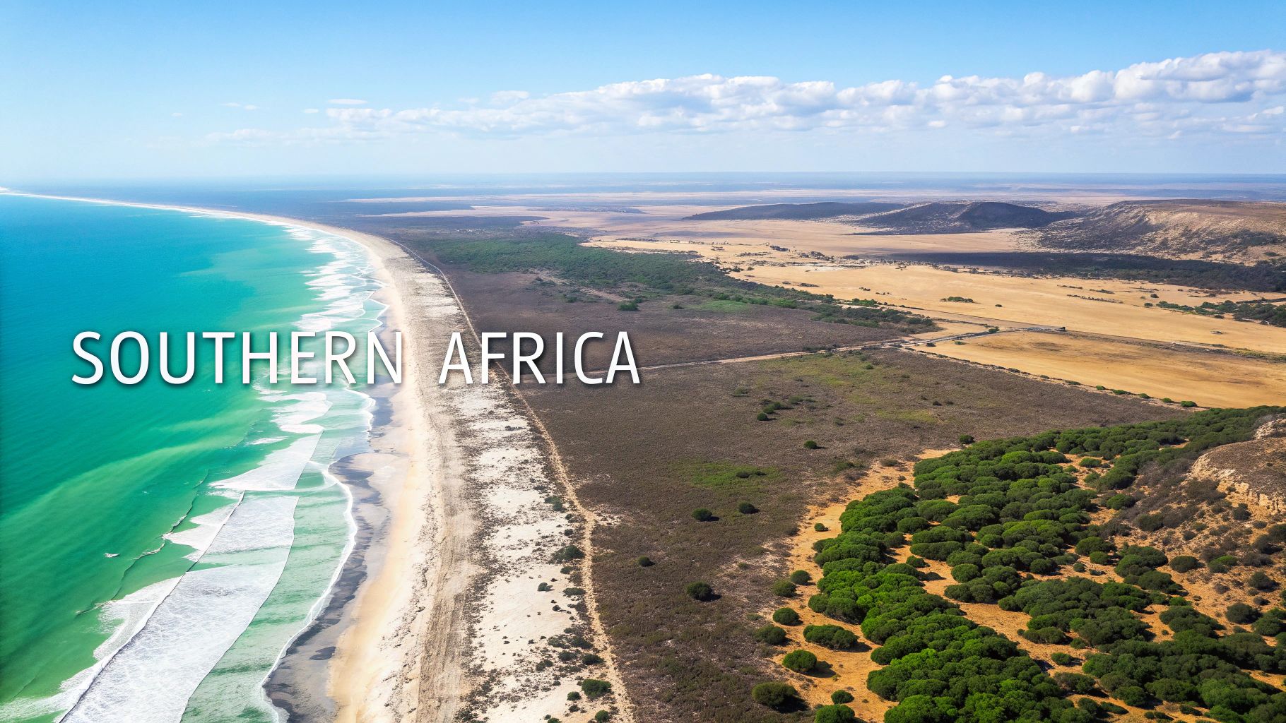
We’ve reached the final leg of our continental tour, arriving in the stunning landscapes of Southern Africa. This is the last piece of your mental puzzle, featuring major players like South Africa, the unique island of Madagascar, and the vast deserts of Namibia.
By mixing storytelling with some fascinating facts, we'll connect these final countries to your map. This last step will complete your journey to learn Africa countries, leaving you with a solid, confident overview of all 54 nations.
The Unique Case of South Africa's Three Capitals
Right away, South Africa stands out. It doesn’t have just one capital city—it has three. This isn't just a quirky bit of trivia; it’s a direct result of its complex political history, intentionally designed to distribute power across the nation.
Understanding this setup gives you a fascinating peek into the country's past.
- Pretoria (Executive Capital): This is the administrative nerve center. It's where the President and the Cabinet get their work done.
- Cape Town (Legislative Capital): Home to the Parliament of South Africa, this is where laws are debated and passed. Its incredible location at the foot of Table Mountain makes it one of the world's most beautiful legislative hubs.
- Bloemfontein (Judicial Capital): As home to the Supreme Court of Appeal, this city forms the heart of the nation's judiciary.
By physically separating these three branches of government, the country built a system of checks and balances right into its geography. It’s a powerful, real-world example of how a nation's structure is reflected on its map.
Creating a Story to Connect the Final Countries
To lock in the rest of the countries in this region, let's create a narrative. Storytelling is an incredibly effective memory tool because it weaves otherwise separate facts into a sequence that just makes sense.
Picture yourself on an epic road trip, starting on the rugged Atlantic coast.
You kick things off in Namibia, famous for its towering red sand dunes. The capital is Windhoek. Just imagine the powerful "wind" whipping through a narrow "hook"-shaped desert canyon. From there, you head east, crossing the immense Kalahari Desert into Botswana.
Botswana is a land of unbelievable wildlife, especially elephants. Its capital is Gaborone. A fun way to remember this is to picture a group of elephants making a loud "gabbering" sound as they walk past a large "bone."
Continuing east, you cross into Zimbabwe, home to the magnificent Victoria Falls. The capital here is Harare. Think of a king with long, flowing "hair," standing defiantly and "rare"-ing up at the edge of the thunderous falls.
This storytelling trick transforms a simple list into an adventure, making the locations and their capitals far easier to recall.
When you can visualize a path from one country to the next, you're no longer just memorizing isolated data points. You're building a connected, intuitive map in your mind that has context and flow.
Placing the Last Pieces on the Map
We just have a few more countries to place, and our map will be complete. Let's not forget the landlocked nations and the region's massive islands.
- Zambia & Mozambique: Look north of Zimbabwe for Zambia, and to its east, you'll find Mozambique. It helps to think of them as a pair.
- Eswatini & Lesotho: These are two smaller nations. Eswatini is tucked between South Africa and Mozambique, while Lesotho is an enclave completely surrounded by South Africa.
- Madagascar: This huge island off the east coast is one of the most biodiverse places on Earth. Its capital, Antananarivo, is a mouthful, but you can remember it by thinking of "Aunt Anna" who drives a "narrow" "river" boat.
It’s also crucial to remember the bigger picture of the continent's incredible growth. Africa's population is expanding at a remarkable rate. Just looking at the ten most populous countries, the total is set to blow past 1.04 billion in early 2025—that's an 81% jump from 579 million back in 2000. You can read more about Africa's incredible demographic shifts and their global impact.
With these final countries locked in, your mental map of Africa is now complete. You've journeyed through all five regions, armed with memory aids and a clear framework for understanding this amazing continent.
How to Lock in Your Knowledge with Interactive Tools
https://www.youtube.com/embed/gLgV_y-Yhxo
Reading through lists and using memory tricks is a fantastic start. But to really make that knowledge stick for the long haul, you have to put it to the test.
This is where active recall comes in—the simple act of pulling information from your brain instead of just staring at it on a page. Interactive quizzes and games are built for exactly this. They force you to engage, giving you instant feedback on what you know and, just as importantly, what you don't. This process builds much stronger and more durable connections in your brain.
Start Small and Build Momentum
Trying to take on a quiz with all 54 African nations right off the bat can feel overwhelming. It's a recipe for discouragement.
The trick is to stick with the regional "chunking" method we've been using. Kick things off with a quiz on just one region, like "Countries of Western Africa." Once you nail that, move on to the next.
This targeted approach lets you master one piece of the puzzle at a time before putting them all together. After you can consistently ace the individual regions, you’ll be more than ready to conquer the entire continent.
The real goal isn’t just getting the right answer; it's getting faster and more confident each time. That repetition is what makes the information feel like second nature.
Turn Learning into a Game
The best learning tools are the ones that don't feel like work at all. This is the power of gamification—adding elements like points, timers, and leaderboards to make the process of trying to learn Africa countries genuinely fun. It’s what keeps you coming back to beat your own score.
If you want to dive deeper into why this works so well, check out this guide on the power of educational games for learning geography.
Newer technology is pushing this idea even further. To truly cement your knowledge, it's worth exploring approaches like immersive learning with AR/VR. By turning practice into play, you’re not just memorizing facts—you’re building real, accessible expertise.
Common Questions About Learning African Geography
Jumping into a project this big always kicks up a few questions. Let's tackle some of the most common ones head-on so you can get your strategy dialed in and make your effort to learn Africa's countries as effective as possible.
People often ask, "How long is this going to take?" The truth is, it's different for everyone. But the real key isn't cramming—it's consistency. A focused 10-15 minutes each day with memory tricks and a good interactive quiz will build solid, long-term knowledge way faster than a marathon session once a week.
Another big one is the fear of forgetting what you've just learned. Don't worry, that's completely normal. The secret weapon here is a technique called spaced repetition. Instead of drilling the same info over and over, you review it just as you're about to forget it. Each time you do, that memory gets a little stronger.
How Can I Make It More Fun?
Let's be real: staring at lists of countries and capitals can feel like a chore. The trick is to stop memorizing and start playing. A little gamification and friendly competition can completely change the game.
- Challenge a Friend: Nothing like a good old-fashioned race. See who can nail a region first or who gets the top score on a full-continent quiz.
- Beat Your Own Best: Forget everyone else and just focus on beating your last time or score. It’s a simple but powerful way to stay motivated.
- Go Beyond the Map: For every country you master, look up one cool thing about it. What's their most famous food? What does their music sound like? This adds layers and context, turning abstract shapes into real, vibrant places.
Remember, the goal isn't just to parrot back names. It's about sparking a genuine curiosity for the world's second-largest continent and building a richer understanding of its complexity.
What Is the Best Order to Learn The Regions?
While you can technically start anywhere, a smart, step-by-step approach usually works best. Kicking things off with a smaller, more contained region like Northern Africa is a great way to score an early win and build some confidence.
Once you've got that down, moving on to the much larger Western Africa region feels like a natural next step up.
From there, you can work your way through Central, Eastern, and Southern Africa to complete the map. This method keeps you from feeling swamped and helps you build momentum. But hey, there's no single "right" way—if a different order keeps you hooked, go for it.
Ready to put all this theory into practice? It's time to fire up EarthChasers. Our interactive quizzes and 3D geography games are designed to make learning stick, helping you lock in that mental map of Africa for good. Start your adventure at https://earthchasers.com.