How to Learn Countries in Africa The Smart Way
Tired of forgetting geography? Learn countries in Africa using proven memory hacks, regional breakdowns, and fun tools that make mastering all 54 nations easy.
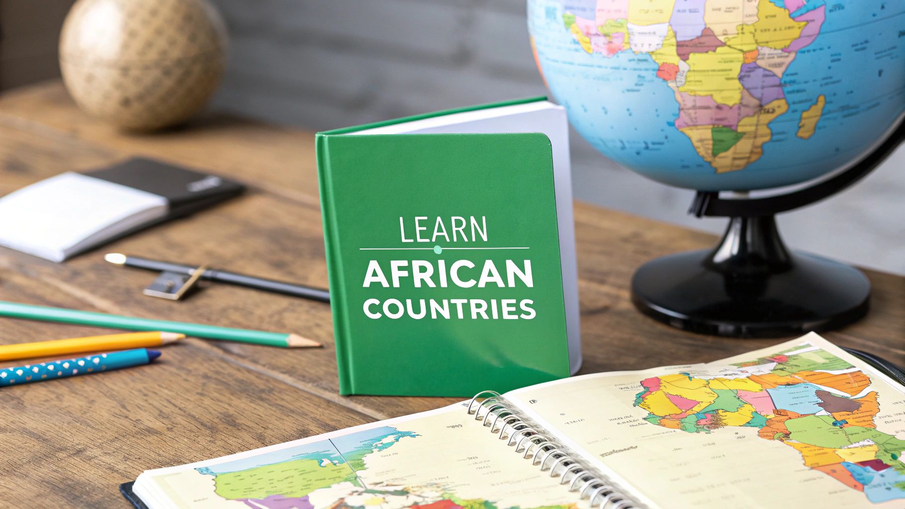
Diving into the geography of Africa isn't just about memorization—it's about connecting with a continent brimming with diversity and global significance. If you're ready to tackle this, we’ve put together a practical plan to help you confidently learn all 54 African nations. We'll turn what feels like a daunting task into an adventure you'll actually enjoy.
Why You Should Know Africa's 54 Countries
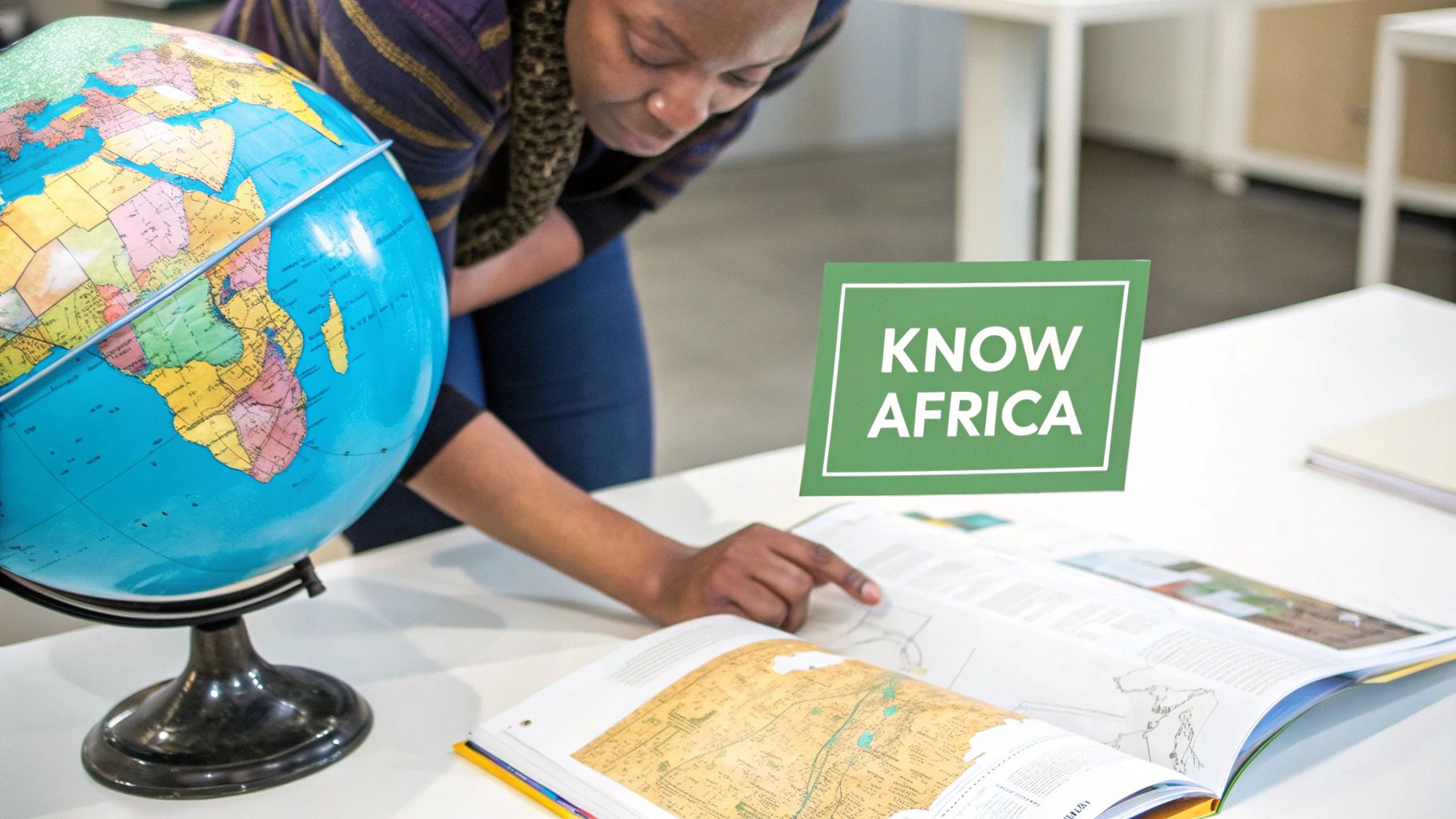
Let's be real: memorizing an entire continent’s geography sounds like a massive undertaking. But knowing the countries of Africa is about so much more than winning your next trivia night. It’s about building a genuine global literacy that helps you make sense of the world.
When you can pinpoint Djibouti on a map or know the difference between the Republic of the Congo and the Democratic Republic of the Congo, global news headlines suddenly click into place. Reports on emerging markets in Ghana or Kenya become tangible. This knowledge closes the gap between abstract names and real places, fostering a much deeper connection to the people and stories shaping our planet.
Connecting to a Dynamic Continent
Africa is a continent on the move, defined by incredible growth and a youthful, energetic population. By 2025, its population is expected to reach 1.55 billion people, accounting for nearly 20% of everyone on Earth. This boom is led by powerhouse nations like Nigeria, with over 237 million people, followed by Ethiopia and Egypt. Grasping these numbers is the first step to understanding the continent's growing influence.
Knowing the individual countries allows you to see Africa not as one monolithic place, but as a rich mosaic of distinct cultures, languages, and histories. That nuanced perspective is crucial for anyone interested in international relations, business, or global studies. For example, building a winning MUN country profile for a Model UN conference is impossible without a detailed grasp of a nation's specific geography, politics, and culture.
Learning Africa's geography is an investment in your ability to be a more informed, empathetic, and engaged global citizen. You shift from being a passive observer to an active participant in global conversations.
Ultimately, this isn't about rote learning. It’s an exploration that unlocks a richer appreciation for the world. It gives you the foundation you need to:
- Follow international events with real insight and clarity.
- Appreciate cultural diversity across 54 unique nations.
- Recognize economic opportunities and developmental trends.
- Engage in meaningful conversations about global affairs.
This foundation transforms the task from a chore into a fascinating and empowering journey.
Break Down the Continent into Manageable Regions
Let's be honest: staring at a map with all 54 African countries is intimidating. It's a classic recipe for feeling overwhelmed before you even start.
The most effective way to learn the countries of Africa isn’t about brute-force memorization. It’s about being smart. You need a structured approach, and that’s where the classic "divide and conquer" method comes in. It's a technique used by geographers and expert learners for a reason—it works.
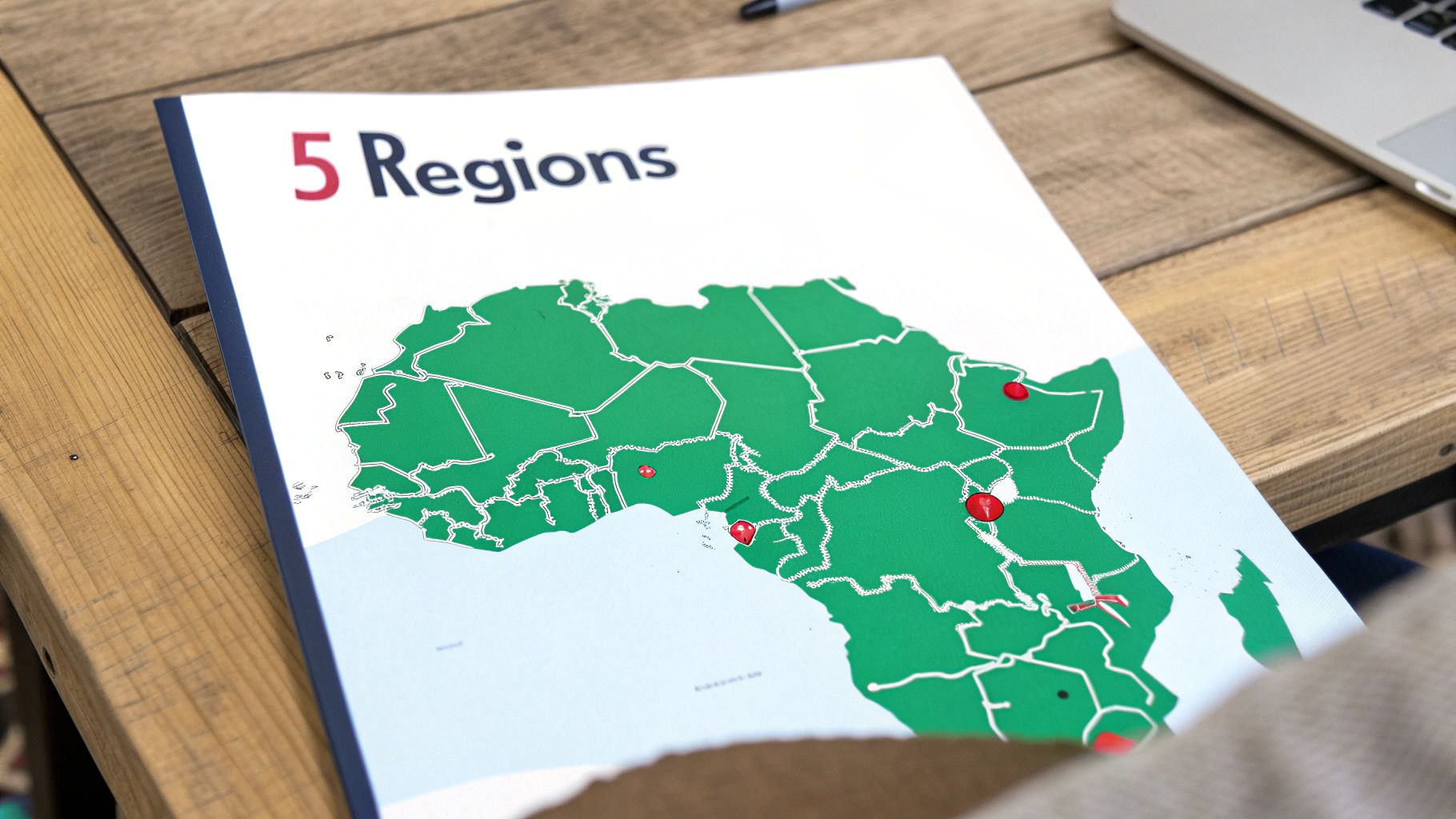
Instead of trying to cram a long, disconnected list of names into your brain, you’ll break the continent into five distinct, logical regions. This simple strategy transforms what feels like an impossible task into a series of small, achievable goals.
The Five Core Regions of Africa
Most geographers cluster the continent into these manageable groups. When you focus on just one region at a time, you not only make memorization easier but also start to see the natural geographic relationships between neighboring countries.
The standard breakdown is pretty straightforward:
- North Africa: This is the continent's northernmost region, bordering the Mediterranean Sea.
- West Africa: You can spot this as the large, bulging portion of the continent that juts into the Atlantic.
- Central Africa: Think of this as the equatorial heart of the continent.
- East Africa: Home to the Great Rift Valley and iconic landmarks like Mount Kilimanjaro.
- Southern Africa: The continent's southernmost tip, which also includes several island nations.
This regional approach is so powerful because it adds context that’s otherwise missing. For example, learning the location of The Gambia becomes instantly easier when you realize it's that tiny country completely surrounded by Senegal. This kind of clustering helps your brain create durable mental maps that are far stronger than just memorizing isolated facts.
A great way to put this into practice is with our free printable blank map of Africa. Print a few copies and try outlining and color-coding each region as you learn it.
Regional Breakdown of African Countries
Here is a clear overview of the 54 African countries organized by their geographical region. Use this table as your guide to tackle one chunk at a time.
| North Africa (7) | West Africa (16) | Central Africa (9) | East Africa (12) | Southern Africa (10) |
|---|---|---|---|---|
| Algeria | Benin | Angola | Burundi | Botswana |
| Egypt | Burkina Faso | Cameroon | Comoros | Eswatini |
| Libya | Cabo Verde | Central African Republic | Djibouti | Lesotho |
| Morocco | Côte d'Ivoire | Chad | Eritrea | Madagascar |
| Sudan | The Gambia | Congo | Ethiopia | Malawi |
| Tunisia | Ghana | Democratic Republic of the Congo | Kenya | Mozambique |
| Western Sahara | Guinea | Equatorial Guinea | Rwanda | Namibia |
| Guinea-Bissau | Gabon | Somalia | South Africa | |
| Liberia | São Tomé and Príncipe | South Sudan | Zambia | |
| Mali | Tanzania | Zimbabwe | ||
| Mauritania | Uganda | |||
| Niger | ||||
| Nigeria | ||||
| Senegal | ||||
| Sierra Leone | ||||
| Togo |
As you work through each column, you'll find that patterns and neighboring relationships start to emerge, making the whole continent feel much more connected and easier to grasp.
Why This Method Works So Well
Cognitive science has a term for this: "chunking." It's a fundamental principle of effective learning where you group related items together. Trying to learn all 54 countries at once is like trying to memorize a 54-digit number. By breaking it into five regional "chunks," you’re giving your brain a framework to build upon.
Of course, a little bit of understanding maps and cartography goes a long way here. It helps you see beyond just the borders to recognize the shared coastlines, river systems, and mountain ranges that often define these regions.
By mastering one small group of countries before moving to the next, you build momentum and confidence. Each region becomes a small victory, motivating you to continue your journey across the continent.
This approach also makes recalling information much more efficient. Instead of struggling to place a country on a vast, empty map in your mind, you can first narrow it down to its neighborhood—"I know Lesotho is in Southern Africa"—and then pinpoint its exact location. It’s a simple mental shortcut that makes a world of difference.
Use Proven Memory Techniques That Actually Work

Let’s be honest: just staring at a list of 54 countries isn’t going to cut it. To actually learn the countries in Africa and have the knowledge stick, you need to get your brain actively involved.
The difference between passive review (like rereading a list) and active recall (forcing your brain to pull out the info) is huge. Active learning strategies are what build strong, lasting neural connections.
This is where a few time-tested memory tricks come in. They turn the chore of memorization into a creative and surprisingly fun exercise.
Create a Narrative with the Story Method
One of the most powerful ways to remember a string of countries is to weave them into a story. This works like a charm for countries that are neighbors, especially along a coastline, because your story can follow a logical geographic path.
Let's try it with the West African coast. Picture a friend named Ben who’s obsessed with spicy food. He decides to go (Togo) to a food festival, where he runs into a giant from Ghana. The giant booms, "I Côte d'Ivoire-ything here!" (I coat everything here). Ben gets spooked and sprints to the library (Liberia), where he stumbles upon a huge diamond (Sierra Leone).
See? This silly little tale connects Benin, Togo, Ghana, Côte d'Ivoire, Liberia, and Sierra Leone in a sequence you won't easily forget. The more vivid and ridiculous you make your story, the better it works. You're essentially creating a mental movie instead of just memorizing names.
Use Mnemonics for Tricky Names
Mnemonics are little memory hacks—acronyms, rhymes, or catchy phrases—that help you recall bigger chunks of information. They're perfect for groups of countries that don't have an obvious geographical flow, like landlocked nations.
Think about the landlocked countries of West Africa:
- Burkina Faso
- Mali
- Niger
You could whip up a simple phrase like "Buy More Nuts." It’s quick, easy, and gives your brain a hook to retrieve those three names when you need them. Mnemonics are a cornerstone of smart studying, and you can find more ideas in our guide on how to study geography.
Visualize Shapes and Associations
Another fantastic technique is connecting a country's shape to a familiar object. Our brains are wired to remember images much better than abstract words or borders on a map.
Take a look at Somalia. Its shape is often compared to a rhinoceros horn or the number 7. Once you make that connection, seeing that distinct shape will instantly trigger "rhino horn," which in turn brings "Somalia" to mind.
By actively creating these mental pictures, you're building multiple pathways to the information. If you forget the name, you might remember the shape, which then helps you recall the name.
Here are a few more to get you started:
- Benin and Togo: These two small, rectangular countries look like they're tucked into the "armpit" of Africa, right under Niger and Burkina Faso.
- Lesotho: Think of this small, circular country as a "hole" punched out of the middle of South Africa, since it's completely surrounded.
- Madagascar: The unique outline of this massive island nation is often compared to a footprint.
The real magic happens when you combine these methods. Use a story to trace a coastline, a mnemonic for a cluster of interior countries, and shape association for those with truly unique borders. This multi-layered approach helps you not just memorize, but genuinely understand the layout of Africa.
Turn Learning into a Game with Interactive Tools
Memory tricks are a great start, but practice is what really makes the information stick. The secret is to make that practice feel less like a chore and more like a game you want to play. This is where interactive online tools are absolute game-changers, turning the grind of memorizing countries in africa into a genuinely fun challenge.
These platforms ditch the static, boring maps for timed quizzes, leaderboards, and different game modes that keep you coming back. You get instant feedback, which is critical for catching mistakes right away and locking in the correct answers. This whole approach, often called "gamification," makes repetition feel fresh instead of tedious.
Sharpen Your Skills with Timed Quizzes
I've found that nothing builds speed and accuracy quite like a good timed quiz. Platforms like Seterra are brilliant for this. You can zero in on specific African regions, capitals, or take on the entire continent. I always suggest starting in their "learn mode" to get your bearings without the pressure of a ticking clock.
Once you’re feeling a little more confident, jump into the timed pin modes. This is where the magic happens. Racing the clock forces your brain to recall information on the fly, building those mental connections much faster than just staring at a map ever could. Trying to shave a few seconds off your personal best becomes an incredibly motivating reason to play again.
Here’s a look at a Seterra quiz focusing just on West Africa.
It’s a simple, direct interface: it tells you a country, you click it. This kind of active, hands-on engagement is precisely why interactive tools are so effective for long-term memory.
Diversify Your Practice with Different Games
Timed quizzes are fantastic, but doing the same thing over and over can get old. A truly effective practice routine mixes things up to test your knowledge from different angles. Luckily, there are tons of excellent world geography games out there to keep your learning dynamic.
Try weaving a few of these activities into your schedule:
- Jigsaw Map Puzzles: These are digital puzzles where you drag and drop country shapes into their correct spots. It’s an amazing way to get a real feel for the shapes of countries and how they fit together with their neighbors.
- "Type the Answer" Quizzes: Instead of just clicking, these quizzes force you to type out the name of a highlighted country. It adds a great layer of difficulty and makes sure you’re not just recognizing names but can actually spell and recall them from scratch.
- Printable Resources: Don't sleep on offline tools! Printing a blank map and coloring it in by region can be a surprisingly relaxing and effective way to reinforce what you’ve learned on-screen. Even just tracing the borders with a pencil helps build muscle memory.
By mixing and matching these tools, you create a learning environment that targets different parts of your brain. This multi-faceted approach ensures you're not just rote-memorizing names but truly understanding the geographic layout of Africa.
At the end of the day, the goal is to find tools you genuinely enjoy. When learning feels like play, you’ll stick with it. Consistent, enjoyable practice is the real secret to confidently mastering all 54 countries of Africa.
Your Four-Week Plan to Master Africa's Geography
Embedded content
Knowing the right memory tricks is half the battle. The other half? Consistency. A solid plan takes the guesswork out of learning, keeps you from feeling overwhelmed, and ensures you’re always moving forward.
This four-week roadmap is designed to take you from zero to hero, confidently naming all 54 countries in Africa. Think of it as a flexible blueprint. Feel free to tweak the daily tasks to fit your pace, but try to stick to the weekly rhythm of learning new regions and constantly reviewing the old ones. It's that powerful mix of new info and spaced repetition that makes the knowledge stick for good.
Here's a sample schedule to get you started. This structured plan keeps you on track by breaking down the continent into manageable chunks and building in regular review sessions.
Sample 4-Week Africa Learning Schedule
| Week | Primary Focus (New Regions) | Daily Activity Examples | Review Focus |
|---|---|---|---|
| Week 1 | North Africa & West Africa | Use story method for North Africa; Quiz coastal vs. landlocked West Africa | None (first week) |
| Week 2 | Central Africa | Drill the two Congos; Use shape association for trickier countries | North & West Africa |
| Week 3 | East Africa | Focus on the Horn of Africa; Learn the island nations | All previous regions |
| Week 4 | Southern Africa | Master the enclave (Lesotho) and island (Madagascar) | Full continent review |
This approach ensures you're not just cramming information but truly building a mental map of the entire continent, piece by piece.
Week One: North and West Africa
Your first week is all about building momentum. North Africa is a fantastic starting point with only seven countries—it’s an easy win to get you motivated. Once you’ve got those locked in, you can dive into the larger West African region.
- Days 1-2 Focus on North Africa: Use your mnemonics and the story method to link the countries running along the Mediterranean coast.
- Days 3-5 Tackle West Africa: Don't try to learn all of West Africa at once. Break it into smaller, more digestible groups like coastal nations and landlocked ones. Create a story that follows the coastline, then a separate mnemonic for the countries in the interior.
- Days 6-7 Review and Quiz: Time to test yourself! Take a timed quiz covering both regions. This is a great time to jump into the EarthChasers game modes to make practice feel less like studying and more like playing.
This simple flow shows how you can mix different activities to keep your brain engaged and make learning more effective.
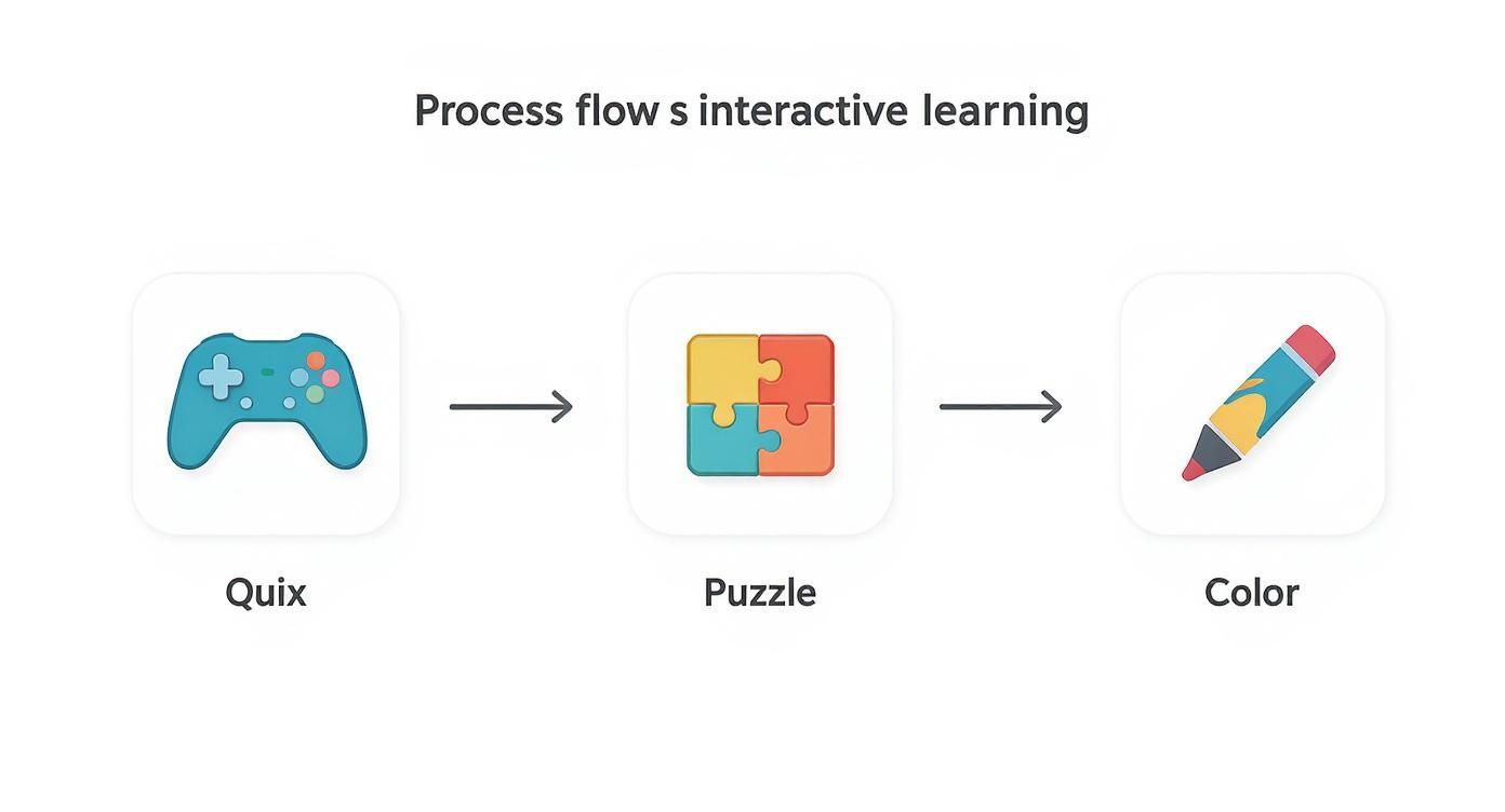
Combining quizzes, hands-on puzzles, and even coloring activities creates a well-rounded routine that hits the information from multiple angles.
Weeks Two and Three: Central and East Africa
By now, you should be finding your groove. Week two is dedicated to Central Africa. Pay extra attention to easily confused countries, like differentiating between the Republic of the Congo and the Democratic Republic of the Congo. For week three, you'll move over to the incredibly diverse landscapes of East Africa, which includes the Horn of Africa and several island nations.
A critical part of this process is active recall. Don't just stare at the map hoping it sinks in. Close your eyes and try to visualize it. Better yet, grab a blank piece of paper and sketch out the regions you've learned from memory. You’ll be surprised what you remember (and what you need to review!).
Week Four: Southern Africa and the Grand Finale
You're on the home stretch! This final week is for mastering the ten countries of Southern Africa. This region has some unique geographic features to help you, like the enclave of Lesotho completely surrounded by South Africa and the massive island of Madagascar.
With all five regions under your belt, the rest of the week is all about a comprehensive review of the entire continent.
- Days 22-24 Nail Down Southern Africa: Lean on shape association. Think of Lesotho as "the hole in South Africa" or easily spot the distinct shape of Madagascar.
- Days 25-28 Full Continent Review: Now, put it all together. Take full-continent quizzes on EarthChasers and try to beat your own high scores. For an extra kick of motivation, challenge a friend or join a weekly leaderboard. A little friendly competition makes practice way more exciting.
By day 28, you’ll be amazed at how familiar the map of Africa has become.
Getting Past the Tricky Spots
Sooner or later, everyone hits a wall when learning the countries of Africa. It’s totally normal. You might feel like your progress has ground to a halt, especially when similar-sounding names or tightly clustered neighbors start to blur together. This isn't a sign you're failing; it's just a cue to switch up your strategy.
The real trick is to zero in on what’s tripping you up and apply a few memorable hacks to solve it. Think of these frustrations as little puzzles. Once you crack them, that knowledge is locked in for good.
Untangling Lookalikes and Soundalikes
A few country pairs are notorious for causing confusion. Instead of letting them frustrate you, let's give your brain a simple visual or logical hook to keep them straight.
Here are a few of the usual suspects and how to separate them:
- Niger vs. Nigeria: This one gets everyone. The easiest way to remember is that Nigeria has a longer name, and it’s the larger, more populous country. It also has a coastline, while Niger is landlocked right above it.
- Republic of the Congo vs. Democratic Republic of the Congo (DRC): Let's use geography and the alphabet. The Democratic Republic of the Congo is the massive country to the east (further from the Atlantic). Its name starts with 'D,' and if you squint, it kind of looks like a giant dragon on the map.
- Guinea, Guinea-Bissau, & Equatorial Guinea: For Guinea-Bissau, just remember it's the smaller coastal nation beside Guinea. Equatorial Guinea is the odd one out—it's the only Spanish-speaking country in Africa and is uniquely split between the mainland and several islands.
Beating the Forgetting Curve
Ever feel like you finally nailed West Africa, only to realize you've forgotten half of North Africa? That's the "forgetting curve" in action. The best defense is consistent, low-effort review.
Don't just drill the new region you're learning. Before you start, spend five minutes on a quick quiz of a region you've already "mastered." This simple act of retrieval does wonders for cementing long-term memory.
This constant reinforcement is a game-changer for anyone trying to learn countries in Africa effectively. The need for these skills is huge. While some African nations have literacy rates over 95%, others are below 40%. And with over 60% of the continent's population under the age of 25, the demand for great educational tools is only growing. You can discover more about Africa's demographic and educational statistics to see the bigger picture.
Don't let these common hurdles derail your progress. Acknowledge them, use these simple fixes, and keep pushing forward. You've got this.
Ready to put these strategies into practice? EarthChasers makes it fun and effective with interactive 3D maps, timed quizzes, and weekly challenges designed to help you master Africa's geography. Check out our game modes and start your adventure today at https://earthchasers.com.