Top 10 Printable Map of Asia Sources for 2025
Discover the best sources for a printable map of Asia in 2025. Easy, detailed, and free options to get your perfect printable map of Asia today.
Mapping Asia: Your Definitive Guide to the Best Printable Maps Online
Whether you're an educator preparing a geography lesson, a tabletop gamer planning a campaign, or a student studying for an exam, finding the perfect printable map of Asia can be a frustrating search. The internet offers countless options, but the quality varies dramatically from pixelated, unusable images to high-resolution, professional resources. This guide cuts through the noise, curating a definitive list of the 12 best online sources for high-quality, downloadable Asian maps. We solve the core problem: saving you time and effort by directing you straight to reliable platforms.
This resource list is designed for practical application. We will explore everything from detailed, premium political maps available from retailers like National Geographic and Amazon to free, simple blank outlines ideal for classroom activities from sites like D-Maps.com. Each entry provides a concise analysis, covering its specific strengths, ideal use cases, and potential limitations. You will find screenshots and direct links for every platform, ensuring you can quickly assess each option and download the exact map you need. Forget endless searching; this curated list is your direct path to finding the best printable map for any project.
1. National Geographic Maps (official store)
For those seeking the gold standard in cartographic quality and professional presentation, the official National Geographic Maps store is the definitive source. While not offering a printable map of Asia in the instant-download sense, it provides exceptionally detailed, high-quality physical maps that are shipped directly to you. These are ideal for permanent displays in classrooms, offices, or for geography enthusiasts who appreciate cartographic artistry.
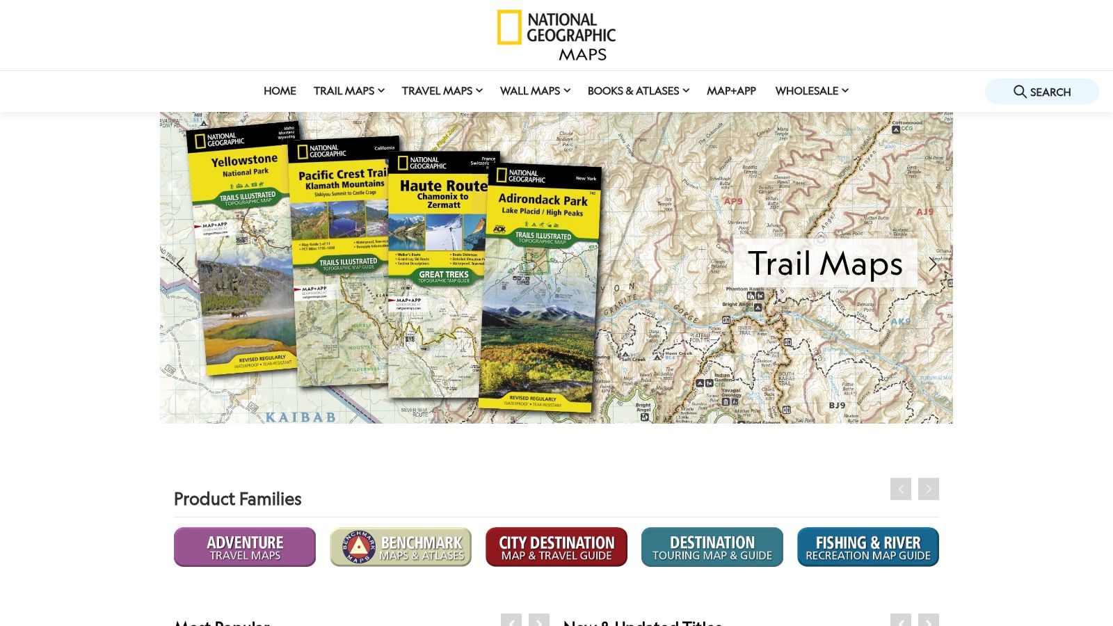
The classic Asia wall map features the signature National Geographic style: stunning shaded relief, clear political boundaries, and thousands of meticulously labeled place names. The 2021 edition ensures cartographic currency, a critical factor for educational settings.
Key Features & Considerations
- Premium Quality: These are not simple printouts. Maps are produced on high-quality paper with options for durable lamination, perfect for frequent handling or use with dry-erase markers.
- Physical Product: It's important to note this is a storefront for physical goods. You are purchasing a professionally printed map, not a digital file, so you must account for shipping costs and time.
- Use Case: Best suited for a permanent, high-visibility wall display where legibility, accuracy, and aesthetic appeal are top priorities. It's less practical for quick, disposable classroom handouts.
| Feature | National Geographic Maps |
|---|---|
| Map Type | Physical Wall Maps |
| Digital Download | No |
| Key Offering | Detailed political maps with shaded relief |
| Best For | Classrooms, Offices, Home Decor, Serious Hobbyists |
| Pros | Unmatched cartographic quality, Durable laminated options |
| Cons | Higher cost, Shipping required, Not instantly accessible |
Website: https://www.natgeomaps.com/
2. Amazon (U.S.)
For those prioritizing convenience, variety, and rapid delivery, Amazon serves as a massive marketplace for physical Asia maps from numerous publishers, including National Geographic. While not a direct source for a printable map of Asia file, it offers a vast selection of pre-printed maps that can be on your doorstep in days, making it an excellent alternative for last-minute needs or those who prefer a professionally finished product without the hassle of printing.
The platform aggregates offerings from various sellers, allowing you to compare prices, styles, and sizes in one place. You can find everything from current political maps to vintage-style decorative pieces, often with the benefit of customer reviews to guide your purchase.
Key Features & Considerations
- Broad Selection: Amazon's inventory includes maps from many different cartographers and publishers, offering a wider range of aesthetic styles and sizes than a single-source store.
- Customer Reviews: User ratings and photos provide valuable real-world insight into a map's quality, legibility, and packaging, helping you make a more informed decision.
- Variable Quality & Recency: As a marketplace, the recency of map editions and the print quality can vary significantly between sellers. Always check the product details and reviews carefully.
- Fast Shipping: For U.S.-based customers, Prime eligibility on many items means you can receive a high-quality physical map much faster than ordering directly from some international publishers.
| Feature | Amazon (U.S.) |
|---|---|
| Map Type | Physical Wall Maps |
| Digital Download | No |
| Key Offering | Wide variety of maps from multiple publishers |
| Best For | Quick U.S. delivery, Price comparison, Accessing user reviews |
| Pros | Fast shipping options, Extensive inventory, Robust review system |
| Cons | Prices can be higher, Map edition recency varies by listing |
Website: https://www.amazon.com/
3. Target (online)
For those who prefer the convenience and reliability of a major retailer, Target's online store offers an excellent option for acquiring a high-quality physical map of Asia. While not a source for an instantly printable map of Asia, it provides a curated selection of professionally produced maps, such as the National Geographic Asia Classic wall map, backed by a familiar and trusted purchasing experience. This makes it an ideal choice for educators or parents seeking a durable classroom or study-room resource with a straightforward return policy.
The platform often features the same high-caliber maps found in specialty stores, but with the potential for competitive pricing and the benefit of Target's customer service infrastructure. The maps available are typically laminated, ensuring they can withstand repeated use in an interactive learning environment.
Key Features & Considerations
- Retailer Reliability: Purchasing through a large, established retailer like Target provides a sense of security, easy order tracking, and a customer-friendly return policy.
- Durable Products: The maps sold are physical, professionally printed items, often featuring a heavy-duty 1.6 mil laminate suitable for classroom handling and dry-erase markers.
- Use Case: Best for educators, parents, or individuals who want a high-quality, physical wall map for educational or decorative purposes without navigating specialty cartography websites.
| Feature | Target (online) |
|---|---|
| Map Type | Physical Wall Maps |
| Digital Download | No |
| Key Offering | Laminated National Geographic political maps of Asia |
| Best For | Classrooms, Study Rooms, Home Decor, Gift-Giving |
| Pros | Big-box retailer reliability, Competitive pricing, Easy returns |
| Cons | Very limited selection, Shipping required, Not a specialty map store |
Website: https://www.target.com/
4. Metsker Maps (U.S. specialty map retailer)
For those in the U.S. seeking a trusted, specialized retailer for high-quality physical maps, Metsker Maps is an excellent destination. While it doesn't offer an instantly printable map of Asia, it functions as a knowledgeable purveyor of premium cartographic products, including the renowned National Geographic series. It provides an alternative purchasing route with potentially competitive pricing and expert customer service focused solely on maps.
The platform stands out with detailed product descriptions, precise dimensions, and practical advice on map care and framing. This makes it ideal for buyers who want to make an informed decision about a long-term map display for a classroom, office, or home study.
Key Features & Considerations
- Specialty Retailer: Unlike large marketplaces, Metsker Maps focuses exclusively on cartographic products, offering a curated selection and knowledgeable support.
- Physical Product: Similar to the official brand stores, this is a source for professionally printed physical maps. You are buying a tangible item that requires shipping.
- Use Case: Best suited for U.S.-based customers looking to purchase a durable, high-quality wall map of Asia and who value the guidance of a specialty shop.
| Feature | Metsker Maps |
|---|---|
| Map Type | Physical Wall Maps |
| Digital Download | No |
| Key Offering | Curated selection of National Geographic & other quality maps |
| Best For | U.S. Buyers, Educators, Decorators, Map Collectors |
| Pros | Expert advice, Competitive pricing, Trusted specialty source |
| Cons | Shipping costs apply, No instant access, U.S.-centric |
Website: https://www.metskermaps.com/
5. YellowMaps Map Store (U.S.)
For institutional buyers, educators, or anyone needing a durable, physical map with specific product details, YellowMaps is a practical and established distributor. Like National Geographic, this is a storefront for physical products rather than a source for an instantly printable map of Asia. Its strength lies in providing clear technical specifications and a wide catalog from top cartographic publishers like National Geographic and Rand McNally.
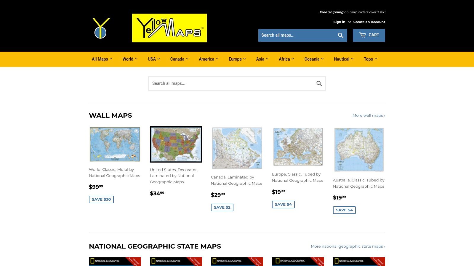
The platform is utilitarian, focusing on product data over lifestyle imagery. This direct approach is ideal for buyers who need to know exact dimensions, ISBNs, and finishing options like encapsulated lamination, which makes maps exceptionally durable and ready for heavy use in a classroom or library setting.
Key Features & Considerations
- Durable Finishing: Offers encapsulated lamination, sealing the map in tough, flexible plastic that is perfect for interactive use with dry-erase markers or in high-traffic areas.
- Technical Metadata: Each product listing includes specific details like ISBNs, publisher information, and product codes, which is essential for purchasing departments and libraries.
- Broad Catalog: While featuring National Geographic's popular Asia maps, the store also carries titles from other renowned publishers, providing a wider selection.
| Feature | YellowMaps Map Store |
|---|---|
| Map Type | Physical Wall Maps |
| Digital Download | No |
| Key Offering | Laminated political maps with detailed product codes |
| Best For | Schools, Libraries, Institutional Buyers, Collectors |
| Pros | Established distributor, Clear finishing/size information |
| Cons | Utilitarian website, Shipping costs, Not instant access |
Website: https://store.yellowmaps.com/
6. Zazzle (print-on-demand posters)
For those who want the physicality of a wall map but with creative flexibility, Zazzle offers a unique print-on-demand solution. This platform connects you with thousands of independent designers who upload their map designs, including various styles of a printable map of Asia. You are not downloading a file but rather purchasing a professionally printed poster of a specific design, shipped to your door.
The selection is vast, ranging from detailed political maps to minimalist blank outlines perfect for labeling exercises or modern decor. The key benefit is the high degree of customization available at the point of purchase, allowing you to select the exact size and paper finish you need.
Key Features & Considerations
- Extensive Customization: Users can choose from multiple poster sizes, from small prints to large wall formats, and select different paper types or even framed options.
- Vast Design Library: The marketplace model means there is a massive catalog of user-created maps, including artistic, vintage, and thematic interpretations of Asia.
- Quality Varies: Since designs come from individual sellers, the cartographic accuracy and detail can vary significantly. It is crucial to review product images and customer feedback before purchasing.
| Feature | Zazzle |
|---|---|
| Map Type | Physical Posters (Print-on-Demand) |
| Digital Download | No |
| Key Offering | Customizable sizes, finishes, and framing for user designs |
| Best For | Decorative displays, custom-sized classroom aids, gifts |
| Pros | Huge design variety, Flexible sizing and finish options |
| Cons | Map accuracy varies by designer, Shipping costs and time |
Website: https://www.zazzle.com/
7. Etsy (digital instant downloads)
For those seeking variety and instant access, Etsy is an unexpectedly rich marketplace for digital map files. It hosts thousands of independent creators offering a diverse collection of printable map of Asia options, from minimalist outlines to vibrant, Montessori-inspired educational maps. These are delivered instantly as digital downloads, making them a go-to for last-minute classroom needs or creative projects.
The platform shines in its artistic and educational variety. You can find everything from historically-styled maps to simple, unlabeled outlines perfect for student exercises. The instant delivery of PDF, JPG, or even vector SVG files provides immense flexibility for printing at home or with a professional service.
Key Features & Considerations
- Immense Variety: The sheer number of sellers means you can find niche styles, including artistic interpretations and specialized educational formats that are not available on mainstream sites.
- Instant Digital Delivery: Once purchased, files are available for download immediately. This is ideal for teachers or parents who need a map right away without waiting for shipping.
- Variable Quality & Licensing: As a marketplace, the quality, accuracy, and usage rights are determined by individual sellers. Always read the item description and shop policies carefully before purchasing. For those interested in creating their own designs, you can explore options like a custom map creator for more control.
| Feature | Etsy |
|---|---|
| Map Type | Digital Downloads (PDF, JPG, SVG) |
| Digital Download | Yes |
| Key Offering | Artistic, educational, and outline maps from various creators |
| Best For | Teachers, Homeschoolers, Crafters, Last-minute needs |
| Pros | Huge variety, Very low prices, Instant access, Seller reviews |
| Cons | Quality can be inconsistent, Licensing varies by seller |
Website: https://www.etsy.com/
8. Teachers Pay Teachers (TpT)
For educators and homeschoolers, Teachers Pay Teachers (TpT) is a treasure trove of classroom-ready resources created by teachers themselves. This platform offers a vast marketplace of low-cost digital downloads, including a wide variety of printable map of Asia options designed specifically for educational use. These are not just maps; they are often part of a complete lesson package with activities, worksheets, and labeling exercises.

The strength of TpT lies in its focus on practicality. You can find everything from simple black and white outline maps for coloring to detailed political maps for quizzes, often aligned with specific curriculum standards. The user-generated nature means a huge diversity in style and complexity, allowing you to find the perfect fit for your specific grade level and learning objective.
Key Features & Considerations
- Educator-Focused: Resources are designed with students in mind, often including differentiated versions or accompanying activities.
- Instant Digital Access: All products are digital downloads, typically in PDF format, making them immediately available for printing after a small purchase.
- Use Case: Ideal for classroom handouts, homework assignments, geography quizzes, and interactive notebook activities. The affordability makes it perfect for creating multiple copies.
| Feature | Teachers Pay Teachers |
|---|---|
| Map Type | Digital Downloads (PDFs), Worksheets, Activities |
| Digital Download | Yes |
| Key Offering | Standards-aligned, classroom-ready Asia map printables |
| Best For | K-12 Teachers, Homeschoolers, Educational Tutors |
| Pros | Very affordable (often under $5), Instant access upon purchase |
| Cons | Design detail varies across items, License may limit use to single user |
Website: https://www.teacherspayteachers.com/
9. FreeVectorMaps.com
For graphic designers, publishers, or educators who require a high degree of customization, FreeVectorMaps.com is an indispensable resource. Unlike standard image files, this platform specializes in vector formats (AI, EPS, SVG), providing a completely scalable and editable printable map of Asia. This means you can change colors, isolate countries, remove text, or resize the map for a massive banner without any loss of quality.
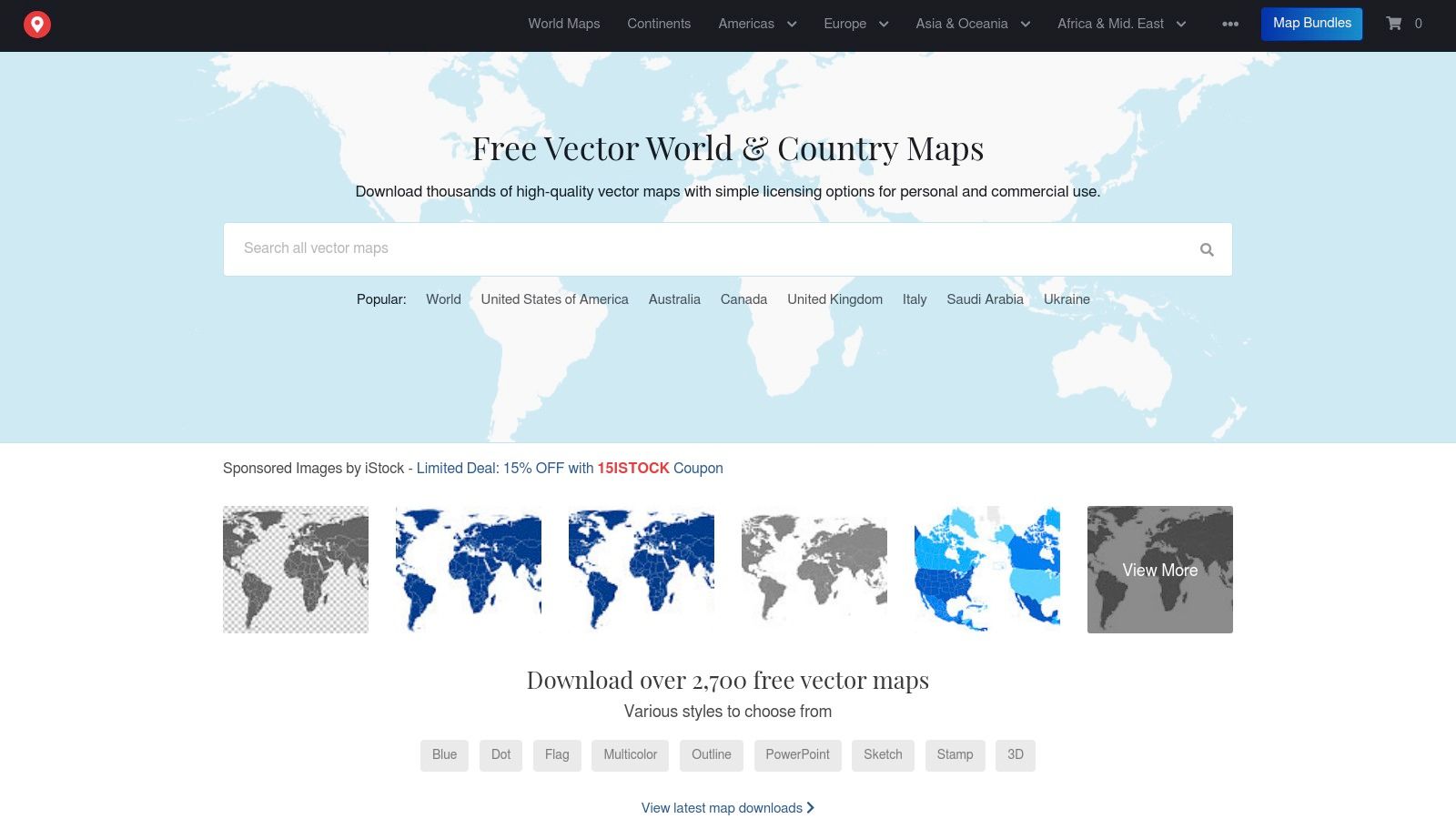
The site offers basic maps for free with attribution, but its real power lies in the low-cost premium maps. These professional-grade files come fully layered, separating countries, capitals, and rivers, making complex edits straightforward for users with design software. This professional utility makes it a great asset for creating custom visuals for reports or even crafting unique geography-based games; in fact, you can find inspiration for world geography games online that benefit from such detailed maps.
Key Features & Considerations
- Vector Formats: The core offering is professional vector files, allowing for infinite scalability and deep customization in software like Adobe Illustrator.
- Layered Files: Premium maps have organized layers for countries, cities, and geographical features, enabling users to easily show or hide specific elements.
- Use Case: Ideal for professional graphic design, large-format printing for displays, academic publications, and creating customized educational materials where precise control is needed.
| Feature | FreeVectorMaps.com |
|---|---|
| Map Type | Digital Vector Maps (AI, EPS, SVG, PDF) |
| Digital Download | Yes (Instant) |
| Key Offering | Fully layered, editable political and outline maps of Asia |
| Best For | Graphic Designers, Publishers, Educators with design skills |
| Pros | Infinitely scalable, Highly customizable, One-time low cost |
| Cons | Requires design software (e.g., Illustrator) for full utility |
Website: https://freevectormaps.com/
10. D-Maps.com (free)
For users who need a no-frills, fast, and completely free source for a wide variety of outline maps, D-Maps.com is an invaluable resource. This website specializes in providing simple, clean line-art maps perfect for educational activities, personal projects, or as a base layer for more complex cartographic work. It offers a vast library of geographical outlines without the complexity of more feature-rich platforms.
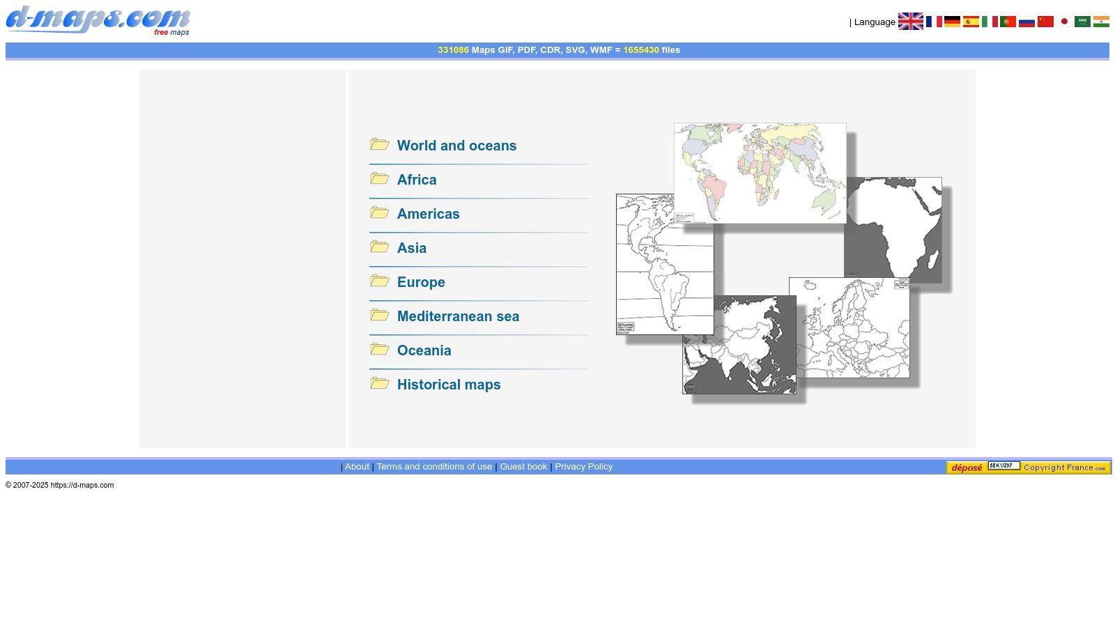
When searching for a printable map of Asia, users will find numerous variations, including maps with or without country names, with hydrography (rivers and lakes), and even regional subsets. This functionality is consistent across their continental offerings, a feature also noted in reviews of their printable map of North America. The straightforward interface allows for quick downloads in several formats, including PDF, GIF, and AI, catering to different user needs.
Key Features & Considerations
- Extensive Variety: Offers blank outlines, maps with political boundaries, hydrographic maps, and even versions with major cities labeled.
- Multiple Formats: Downloads are available in practical formats like PDF for easy printing, GIF for web use, and AI for advanced editing in Adobe Illustrator.
- Use Case: Ideal for creating classroom worksheets, quizzes, or as a quick reference tool. The lack of complex styling makes it perfect for students to color and label themselves.
| Feature | D-Maps.com |
|---|---|
| Map Type | Simple Outline Maps (Political, Blank, Hydrography) |
| Digital Download | Yes (PDF, GIF, AI, CDR, SVG, WMF) |
| Key Offering | Massive library of free, simple, and clean map outlines |
| Best For | Educators, Students, Quick project bases |
| Pros | Completely free, Instant downloads, Wide variety of formats |
| Cons | Basic design and styling, No editorial or thematic content |
Website: https://d-maps.com/
11. GISGeography (free)
For educators, students, and professionals needing a clean, high-resolution starting point, GISGeography offers an excellent resource. The site provides a straightforward, no-frills blank outline map of Asia, which is perfect for custom labeling, classroom exercises, or as a base layer in geographic information system (GIS) projects. The focus here is on providing a functional, unadorned outline that serves as a blank canvas.
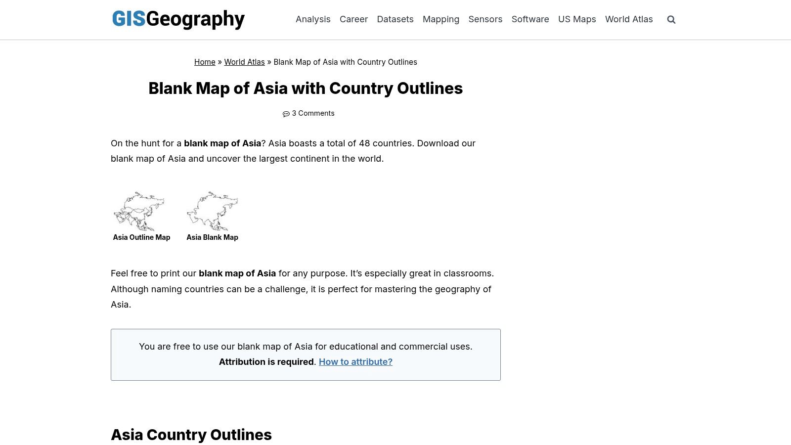
This platform stands out by offering not only the full continental outline but also direct links to individual country outlines. This modular approach is highly practical for projects focusing on specific nations or sub-regions. The maps are free for educational and even commercial use, provided clear attribution is given.
Key Features & Considerations
- High-Resolution Outlines: The maps are provided in high resolution, ensuring they remain crisp and clear when printed, even in larger formats.
- Attribution Required: While free to use, users must provide attribution to GISGeography.com as the source, a standard requirement for many free creative assets.
- Use Case: Ideal for creating a custom printable map of Asia for tests, presentations, or data visualization where users need to add their own labels, colors, and information.
| Feature | GISGeography |
|---|---|
| Map Type | Blank Outline Maps |
| Digital Download | Yes (PNG, other formats) |
| Key Offering | High-resolution continental and individual country outlines |
| Best For | Students, Educators, GIS Analysts, Researchers |
| Pros | Completely free, High resolution, Separate country outlines available |
| Cons | Requires user to add all labels/data, Attribution is mandatory |
Website: https://gisgeography.com/asia-blank-map-country-outlines/
12. FreeWorldMaps.net (free)
FreeWorldMaps.net is a straightforward and highly accessible resource for anyone needing a no-cost, ready-to-print map of Asia. It offers a solid collection of political, physical, and blank outline maps available as high-definition image files (JPG) or as convenient A4-sized PDFs, making it incredibly simple for users to download and print immediately for classroom activities or quick reference.
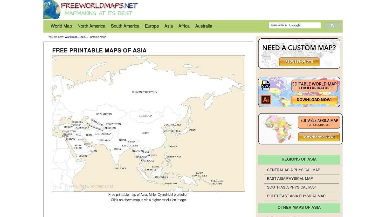
What sets this site apart is its offering of multiple map projections, such as the common Winkel Tripel, and its breakdown of Asia into specific regions like Central, East, and Southeast Asia. This regional focus is particularly useful for lessons centered on a smaller geographic area. The site also provides a unique custom map creation service for those with very specific requirements.
Key Features & Considerations
- Multiple Formats: Users can instantly download maps as either JPG images for digital use or as printer-friendly A4 PDFs for physical handouts.
- Regional Specificity: Beyond a continental printable map of Asia, the site offers detailed maps for sub-regions, allowing for more focused study.
- Custom Service: For unique projects, users can request custom-made maps tailored to their specific layout, labeling, or projection needs, a rare feature for a free resource.
| Feature | FreeWorldMaps.net |
|---|---|
| Map Type | Political, Physical, Blank Outline Maps |
| Digital Download | Yes (JPG, PDF) |
| Key Offering | Free regional maps and optional custom map creation |
| Best For | Educators, Students, Quick-reference Handouts |
| Pros | Completely free, Easy-to-use, Customization service offered |
| Cons | Raster files (not vector), limiting advanced editing control |
Website: https://www.freeworldmaps.net/printable/asia/
Printable Asia Map Resources Comparison
| Source | Core Features/Characteristics | User Experience/Quality ★ | Value Proposition 💰 | Target Audience 👥 | Unique Selling Points ✨ |
|---|---|---|---|---|---|
| National Geographic Maps | Laminated physical wall maps, detailed relief & names | ★★★★🏆 Gold-standard quality | Durable, premium pricing 💰💰 | Schools, offices, map collectors | Classic cartography style ✨ |
| Amazon (U.S.) | Wide selection incl. vintage & political maps | ★★★★ Fast shipping & reviews | Varied pricing, convenience 💰 | General buyers and hobbyists | Broad inventory & Prime shipping ✨ |
| Target (online) | Laminated classroom-friendly wall maps | ★★★ Solid quality | Competitive pricing 💰 | Families, educators | Big-box retailer reliability ✨ |
| Metsker Maps (U.S. specialty) | Specialty retailer with framing advice | ★★★★ Knowledgeable support | Often lower prices 💰 | Specialty map buyers | Detailed specs & framing help ✨ |
| YellowMaps (U.S.) | Laminated maps, ISBN/product metadata | ★★★ Reliable distributor | Institutional buyer-friendly 💰 | Libraries, institutions | Extensive metadata details ✨ |
| Zazzle (print-on-demand) | User-designed custom sizes and finishes | ★★★ Variable by designer | Flexible pricing 💰 | Creative users, decorators | Customizable posters & framing ✨ |
| Etsy (digital downloads) | Instant PDFs, SVGs, varied styles | ★★★ Reviews vary widely | Very low prices 💰💰 | Teachers, homeschoolers | Instant digital delivery ✨ |
| Teachers Pay Teachers (TpT) | Standards-aligned printable maps | ★★★ Affordable & classroom-ready | Low-cost, instant access 💰 | Educators & homeschoolers | Education-focused resources ✨ |
| FreeVectorMaps.com | Vector maps AI, EPS, SVG, layered files | ★★★★ Professional quality | One-time low cost 💰 | Designers, printers | Editable, layered vectors ✨ |
| D-Maps.com (free) | Printable simple outline & color maps | ★★ Basic styling | Free & fast download 💰 | Students, educators | Completely free maps ✨ |
| GISGeography (free) | High-res blank & country outlines | ★★★ Suitable for education | Free with attribution 💰 | Teachers, exam prep users | Clear sub-region navigation ✨ |
| FreeWorldMaps.net (free) | HD printable maps, multiple projections | ★★★ Classroom useful | Free plus custom requests 💰 | Teachers, general users | Custom map creation service ✨ |
From Worksheets to Wall Art: Choosing Your Perfect Map
Navigating the vast landscape of online map resources can be as complex as exploring Asia itself. We've journeyed through a diverse collection of options, from the authoritative, high-quality prints offered by National Geographic to the instant, classroom-ready downloads on platforms like Teachers Pay Teachers. Your ideal printable map of Asia hinges entirely on its intended purpose, and understanding this is the first step toward making the perfect choice.
A static map, whether tacked to a wall or filled in on a desk, provides a tangible connection to the world. It’s a foundational tool for building spatial awareness and serves as a constant visual reference. The resources we've covered cater to a wide spectrum of needs, ensuring you can find a map that fits both your project and your budget.
Recapping Your Options: A Strategic Guide
To select the best tool, consider your primary goal. Are you an educator crafting a lesson plan, a hobbyist designing a game, or a decorator looking for a statement piece?
- For Educational & Classroom Use: Your best starting points are often free, customizable resources. Sites like D-Maps.com and GISGeography offer a treasure trove of blank, labeled, and thematic maps perfect for worksheets and quizzes. For more structured, professionally designed lesson materials, Teachers Pay Teachers is an invaluable hub created by educators for educators.
- For High-Quality Decor & Wall Art: When aesthetics and durability are paramount, premium vendors are the way to go. National Geographic Maps and specialty retailers like Metsker Maps provide professionally printed, large-format maps that are both beautiful and geographically precise. For more custom or artistic options, exploring Etsy for unique digital designs or Zazzle for print-on-demand posters allows you to tailor a map to your specific decor style.
- For Digital & Design Projects: If you need a map for a digital presentation, a website, or a graphic design project, vector-based maps are essential. FreeVectorMaps.com offers scalable, editable files that provide ultimate flexibility, allowing you to customize colors, labels, and layers to fit your project's branding and requirements perfectly.
Beyond the Printed Page: Interactive Exploration
A printable map of Asia is an exceptional tool for static learning and reference. However, to truly grasp the continent's dynamic geography, culture, and scale, interactive engagement is key. While a printed map shows you where places are, digital tools can show you what they are like. They transform passive observation into an active adventure, allowing you to explore topography, landmarks, and political boundaries in a far more immersive way.
This transition from a two-dimensional paper map to a three-dimensional virtual world represents the next frontier in geographical education and entertainment. It’s about moving from memorization to genuine exploration. By combining the foundational knowledge gained from a printable map with the dynamic experience of an interactive platform, you create a powerful, multi-layered learning experience that is both effective and incredibly engaging.
Ready to take your geographical exploration to the next level? If you love studying maps, imagine virtually traveling across them. EarthChasers transforms the world into your playground with an immersive 3D geography game. Move beyond the static page and start your global adventure today at EarthChasers.