what are cardinal and intermediate directions? A Quick Guide
Curious about what are cardinal and intermediate directions? This quick guide explains how to identify them on a compass and map, with practical examples.
When you think about navigation, what comes to mind first? Probably the four big ones: North, South, East, and West. These are the cardinal directions, the fundamental pillars of our global positioning system.
But what about the spaces in between? For that, we have the intermediate directions: Northeast, Southeast, Southwest, and Northwest. Together, these eight points form the basis of how we orient ourselves and understand the world around us.

Building Your Mental Compass
Ever felt that pang of panic when your GPS dies? Having a solid grasp of these eight directions is like having a built-in compass. It’s a foundational skill, the alphabet of spatial awareness, that helps you read maps, understand weather reports, and follow directions with confidence.
Think of it this way: the four cardinal points are the main anchors, like the corners of a square. The intermediate points slice the angles between them, adding a much-needed layer of precision. This simple system gives us a universal language to describe location and movement.
This framework is the first step to mastering geography. Whether you’re learning basic map skills for a hike or dropping into a new location in EarthChasers, these eight points are your most essential tool.
They turn a confusing, chaotic landscape into an ordered space you can navigate. It’s about more than just knowing where you are—it’s about understanding how to get where you’re going.
For a quick reference, here’s a simple breakdown of all eight directions.
The Eight Primary Directions at a Glance
| Direction Type | Direction Name | Abbreviation | Simple Description |
|---|---|---|---|
| Cardinal | North | N | Points towards the North Pole |
| Cardinal | South | S | Points towards the South Pole |
| Cardinal | East | E | The direction of sunrise |
| Cardinal | West | W | The direction of sunset |
| Intermediate | Northeast | NE | Exactly between North and East |
| Intermediate | Southeast | SE | Exactly between South and East |
| Intermediate | Southwest | SW | Exactly between South and West |
| Intermediate | Northwest | NW | Exactly between North and West |
Memorizing these isn't just for tests; it's about building an intuitive sense of direction you can apply anywhere, from your own neighborhood to the far-flung locations in a game.
Understanding the Four Pillars of Navigation
The cardinal directions—North, South, East, and West—are the absolute bedrock of navigation. They aren't just random words on a compass; they’re hardwired into the physics of our planet.
Picture the Earth as a spinning top. North and South are the two fixed points at the very top and bottom of its axis of rotation. This gives us our primary, unshakeable reference points no matter where we stand.
Once you have North and South locked in, East and West naturally fall into place. They’re defined by the direction of that spin. The sun rises in the East and sets in the West, giving us a simple, reliable way to orient ourselves on any given day.
This fundamental system creates the invisible grid that underpins every map you've ever laid eyes on. It’s also the key to understanding more complex ideas, like how lines of latitude and longitude create a global address for any point on Earth. It's the "why" behind everything from old paper charts to the GPS humming away in your phone. Learn more about that here: https://earthchasers.com/blog/what-are-latitude-and-longitude.
Timeless Skills for Finding Your Way
What happens when the tech fails? You can still find your bearings using techniques that have guided explorers for centuries. These skills are not just practical; they connect you to a timeless way of seeing the world.
- Using the Sun: In the Northern Hemisphere, the sun rises in the east, hits its highest point around midday in the south, and sets in the west. Just by watching its arc across the sky, you have a solid sense of direction.
- Locating the North Star: At night, Polaris (the North Star) hovers almost directly above the North Pole. Find it, and you've found a constant, reliable indicator of true north.
This foundational knowledge is about more than just reading a compass. It’s about learning to read the world itself—a skill that makes you more aware, whether you're hiking a real trail or exploring a digital one in EarthChasers.
These basic orientation methods are surprisingly powerful. For travelers looking to dive deeper, there are some great resources with practical navigation tips for travelers that expand on these techniques. Mastering these basics means you’ll never feel truly lost.
Discovering the Origins of Our Directional System
Embedded content
Long before we had GPS in our pockets or even basic paper maps, ancient civilizations needed a reliable way to find their way. Survival itself—along with farming and exploration—hinged on understanding their place in the world. The answers, they discovered, were written in the sky.
Early humans were sharp observers of their environment. They quickly noticed the sun's consistent daily journey, rising from one direction and setting in the opposite. This predictable pattern gave us our very first two directions: East (sunrise) and West (sunset).
When darkness fell, the stars offered a new kind of map. In the Northern Hemisphere, one star stood out because it stayed fixed in the sky while all the others appeared to circle around it. This was Polaris, the North Star, and it gave humanity a constant, unwavering anchor for North. With North figured out, finding South was simple—it was just the opposite direction.
From Stars to Magnets
This simple system, built on pure observation, worked wonders for thousands of years. But the next big leap forward came from Han Dynasty China around the 2nd century BCE: the invention of the magnetic compass. This little device, which always points north, was a complete game-changer.
The compass revolutionized sea travel. It allowed sailors to navigate with confidence on cloudy days and across the vast, open ocean, far from any familiar landmarks. Its reliability was so powerful that it led European mapmakers to adopt a new standard: placing North at the top of their maps. Today, this orientation is so universal we hardly even think about it.
Our entire system of cardinal directions—North, South, East, and West—was born from these very practical needs to make sense of the world using the sun, the stars, and eventually, the Earth's own magnetic field.
It's also interesting to see how language reflects this history. Researchers have found that the words for "east" and "west" in many languages are linked to the sun's movement. The words for "north" and "south," however, have more varied origins tied to local geography, weather patterns, or stars like Polaris. You can dig deeper into this on Terratory.org's research page about cardinal directions.
This journey through history, from watching the sun rise to harnessing magnetic fields, built the foundation for the universal system that guides us today. It’s the very basis for what cardinal and intermediate directions are.
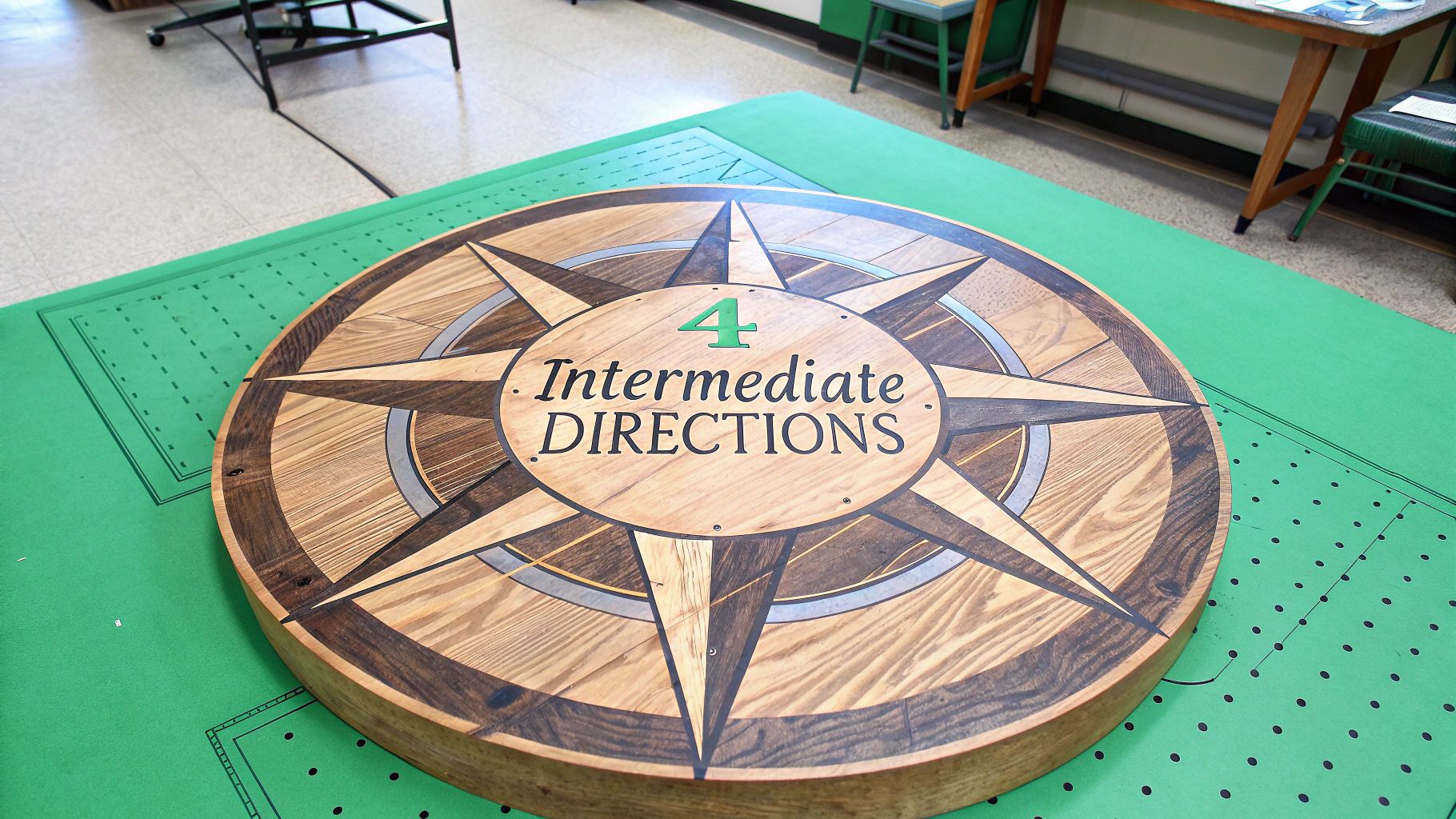
Adding Precision with Intermediate Directions
While the four cardinal directions give you a solid starting point, the world rarely cooperates with perfect right angles. To really dial in your location or describe where you're headed, you need intermediate directions.
These are simply the points that sit exactly halfway between each cardinal direction. Think of it this way: If North is 12:00 on a clock and East is 3:00, then Northeast (NE) is perfectly at 1:30. This simple trick instantly doubles your navigational options from four to eight, letting you give much clearer instructions.
This extra layer of detail is a game-changer in the real world. A meteorologist won't just say a storm is moving "eastward"; they'll specify it's heading southeast, which paints a much more accurate picture of its path. It’s the same in EarthChasers—knowing a landmark is to the northwest is way more helpful than a vague guess that it's "somewhere between north and west."
Getting Even More Specific
For tasks that demand pinpoint accuracy, navigators can slice the compass even finer. This creates what are known as secondary intermediate directions, adding another powerful layer of precision.
These more granular points, like North-Northeast (NNE) or East-Southeast (ESE), fill in the gaps between the main eight directions. This 16-point system is absolutely vital for fields like aviation, marine navigation, and advanced orienteering.
Getting comfortable with these directions allows for incredibly precise calculations of movement and position. If you're into the technical side of navigation, check out a distance and bearing calculator to see just how critical these finer points are for plotting a course.
By mastering both cardinal and intermediate directions, you're building a powerful skill set for any exploration, whether it's real or virtual.
How Directions Influence Language and Culture
Directions are so much more than just a way to get from A to B. They’re deeply woven into the very fabric of our language, culture, and history. The way we talk about North, South, East, and West actually reveals a ton about how societies see themselves—and the world.
Think about it. The arrival of the compass and north-oriented maps didn't just help sailors find their way; it kicked off the European age of exploration, fundamentally redrawing the globe and shifting the balance of power for centuries. That history still echoes in the words we use today.
From Navigation to Identity
We see this all the time in phrases like "the Western world" or the "Global South." These aren't just simple geographic pointers. They carry immense cultural, political, and economic weight, describing alliances, development levels, and identities forged over hundreds of years.
This is where the four cardinal points jumped from being practical tools to powerful symbols. During Europe's Migration Period, for instance, Germanic names for the cardinal points replaced the old Latin ones, cementing their new cultural importance. Fast-forward to the 15th and 16th centuries, and these directions were the keys to unlocking global trade and building empires. You can dive deeper into how North became 'up' over on KERA's Think page.
What began as a way to find your way home became a way to define your place in the world. Cardinal and intermediate directions are not just lines on a map—they are embedded in our collective story.
Ultimately, the language of direction tells our human story. It’s a story of exploration, power, and our endless quest to make sense of the world around us, shaping everything from political maps to our own cultural identities.
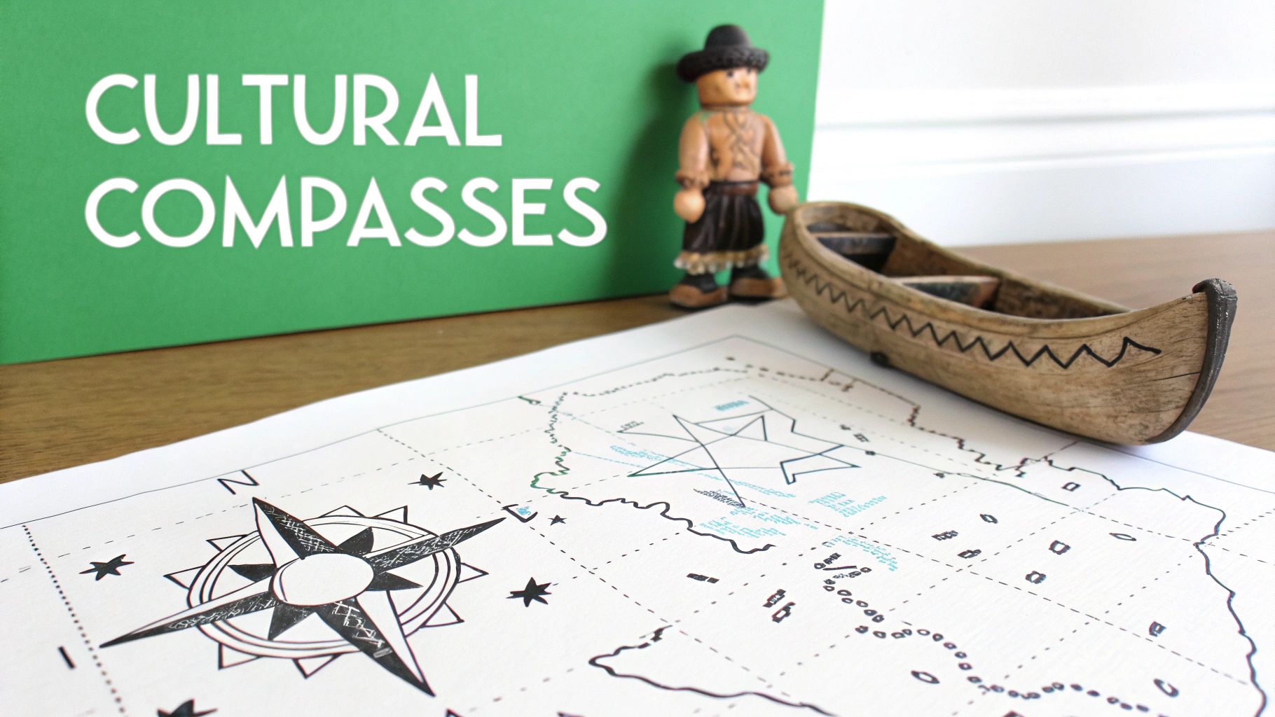
Exploring Different Cultural Perspectives on Direction
While the eight-point compass feels like a universal tool, it’s really just one way of looking at the world. How humans understand space and direction is incredibly diverse, and looking into these different systems gives us a fascinating window into how our environment shapes our worldview. This is a core idea in what is cultural geography.
Take the Guugu Yimithirr, an Aboriginal group in Australia. They navigate using cardinal directions so instinctively that their language doesn't even have words for 'left' or 'right'. Everything is north, south, east, or west. Then you have the traditional Polynesian navigators, who used a complex 32-point star compass to cross millions of square miles of open ocean—a feat they accomplished long before modern GPS.
These systems aren't just about getting from point A to point B; they're often woven into the very fabric of spirituality and tradition.
Directional understanding isn't just about finding your way; it's a fundamental part of how a culture perceives its place in the cosmos and organizes its society.
This spiritual connection is found all over the globe. For example, a look into ancient Mayan cosmology in Guatemalan traditions shows just how deeply direction is tied to a culture's entire belief system. These examples remind us that there's no single "right" way to map our world.
Common Questions About Directions Answered
Once you start getting the hang of cardinal and intermediate directions, a few questions almost always come up. Let's tackle them head-on to clear up any confusion and make sure these concepts really stick.
Probably the most common question is about the difference between true north and magnetic north. Think of true north as the geographic North Pole—it’s a fixed spot at the top of the globe. Magnetic north, on the other hand, is what your compass needle actually points to, and believe it or not, that spot wanders around over time. For a casual hike, the difference is tiny, but for pilots or serious navigators, it’s a massive deal.
Finding Your Way Without Tools
So, what happens if you don't have a compass or a phone? The sun is your best bet. It always rises in the east and sets in the west. If you're in the Northern Hemisphere, it hangs out in the southern part of the sky around midday. At night, look for the North Star (Polaris)—it’s a trusty anchor that points almost perfectly north.
And finally, have you ever wondered why north is always at the top of our maps?
It's a tradition, not a law of physics. This convention really took hold in the 15th century when European explorers started relying heavily on the magnetic compass. Before that, many maps actually put East at the top, often to point toward Jerusalem.
Little details like these really show you the full picture of what cardinal and intermediate directions are. They're a mix of science, history, and pure practical know-how that we still count on every single day.
Ready to put your new navigation skills to the ultimate test? Jump into the adventure with EarthChasers and explore a 3D world where knowing your directions is the key to discovery. Start your journey at https://earthchasers.com.