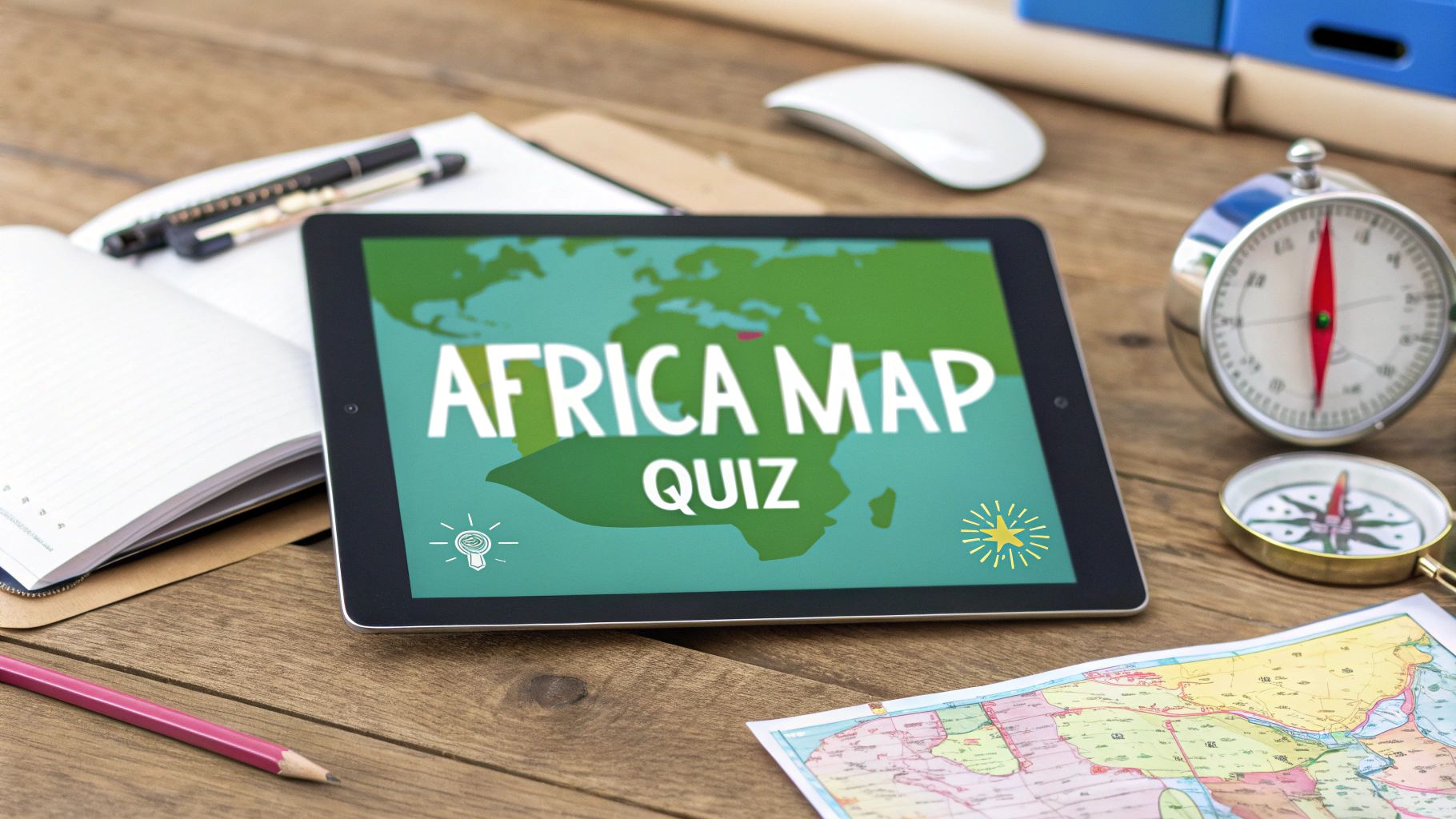
Conquer the Africa Map Quiz With These Proven Strategies
Struggling with the Africa map quiz? Our guide breaks down the 54 countries into manageable regions with memory tricks that actually work. Start acing it today.
Staring at a map of Africa with its 54 distinct countries can feel like an impossible task. Where do you even begin? The secret isn't to brute-force your way through all of them at once. Instead, start with what you already know.
By focusing on the nations you recognize, you build confidence and create a solid foundation, turning a huge challenge into a manageable one.
Your Starting Point for Mastering the Africa Map
Jumping into a full Africa map quiz without a plan is a recipe for frustration. The key is to build momentum, not try to memorize every country from scratch. Start with the most recognizable nations—the ones that pop up in news, culture, and history.
This approach gives you mental anchors on the map, making it much easier to place the smaller, less familiar countries later on.
Think of it like putting together a puzzle. You always find the corners and edges first, right? For Africa, countries like Egypt, South Africa, and Nigeria are your corner pieces. They're large, have distinct shapes, and carry global significance, which is why most people can find them with relative ease.
Focus on Familiar Anchors
Building from a strong base is everything. Quiz data consistently shows a clear pattern in which countries people identify most easily. For instance, Egypt, Morocco, Algeria, and South Africa boast recognition rates of 88%, 85%, 84%, and 81% respectively.
Their high visibility gives you a massive head start. Once you lock in these locations, you have immediate reference points across the continent's northern and southern tips. You can explore more detailed stats on platforms like JetPunk to see just how much familiarity plays a role.
The goal isn't just to pass a quiz; it's to develop a lasting mental map of the continent. Starting with familiar countries builds the confidence needed to stick with it when you get to the more challenging regions.
Build Confidence with Early Wins
Once you've nailed those initial countries, you can start filling in their neighbors. This "regional chunking" method is way more effective than random memorization.
For example, after placing Egypt, it’s a natural next step to identify Libya to its west and Sudan to its south. Just like that, you’ve populated a huge chunk of the northeastern corner of Africa. As you get into a rhythm, it’s interesting to see how learning tools are evolving; many modern techniques draw from insights on how AI revolutionizes education by making complex subjects feel more intuitive.
For some hands-on practice, nothing beats a physical map. You might want to grab a printable blank map of Africa to trace borders and write in country names as you go. This tactile approach reinforces memory in a way that clicking on a screen alone just can't match.
Africa Map Quiz Difficulty Tiers
To help you strategize, I've broken down the countries into a few difficulty tiers based on typical recognition rates. Use this as a roadmap, starting with the "Easy" tier and working your way up.
| Difficulty Tier | Example Countries | Average Recognition Rate | Key Identifiers |
|---|---|---|---|
| Easy | Egypt, South Africa, Nigeria, Kenya | 75-90% | Large size, distinct coastal shapes, frequently in news |
| Medium | Ethiopia, Ghana, Morocco, Tanzania | 50-74% | Recognizable shapes, famous landmarks (e.g., Kilimanjaro) |
| Hard | Burkina Faso, Malawi, Gabon, Benin | 25-49% | Smaller size, less distinct shapes, often landlocked |
| Expert | Eswatini, Lesotho, Djibouti, The Gambia | <25% | Very small, surrounded by larger nations, unique names |
Starting with the easy tier provides quick wins and builds the scaffolding you need to place the "Expert" level countries. Before you know it, you'll be filling in the whole map.
Learning Africa's Geography by Region
Staring at a map of Africa and trying to memorize all 54 countries at once is a recipe for frustration. It's a classic mistake. A much smarter approach is to break the continent down into smaller, more digestible regions.
This strategy turns an overwhelming task into a series of bite-sized wins. Instead of a random scramble, you can laser-focus on one area at a time. Typically, the continent is split into five regions: North, West, Central, East, and Southern Africa. By mastering one before moving on, you build a solid, layered understanding of the continent's layout. This simple shift makes your practice sessions for any Africa map quiz way more effective.
This concept map shows how you can combine recognizable anchors with a regional focus to build real confidence and, eventually, mastery.
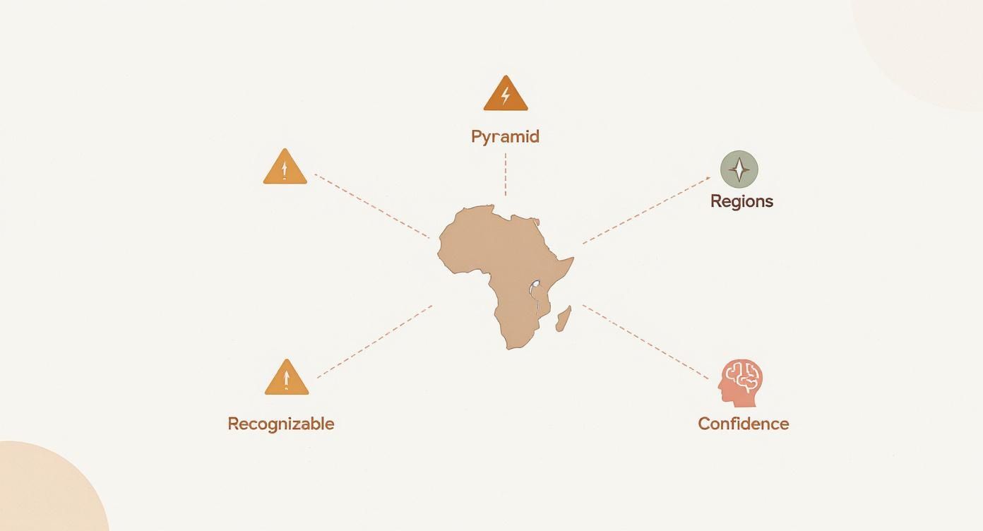
As you can see, a successful learning strategy is built on these interconnected pillars. It's not about brute force memorization; it's about having a clear process.
Master North and West Africa First
I always suggest starting with North Africa. It’s often the most familiar region for people, containing well-known "anchor countries" like Egypt and Morocco. Once you can confidently place those two, filling in the countries between them—Algeria, Libya, and Tunisia—becomes much easier.
From there, head south to West Africa. This region is a bit more complex, with 16 countries squeezed into a relatively small space. Use Nigeria, the large coastal nation, as your main anchor. From Nigeria, you can work your way west along the coastline, picking off countries like Ghana, Côte d'Ivoire, and Senegal. Pay close attention to the three "Guineas" (Guinea, Guinea-Bissau, and Equatorial Guinea), as they're a common source of confusion.
The key is to use larger, distinctly shaped countries as reference points. Once you know where Nigeria is, placing smaller neighbors like Benin and Togo becomes a simple matter of association rather than pure memorization.
Tackle Central, East, and Southern Africa
After getting a handle on the west, Central Africa will feel more intuitive. The Democratic Republic of the Congo (DRC) is your unmissable anchor here—it’s absolutely massive. Use it to place its neighbors, like Cameroon, Gabon, and the Republic of the Congo.
Next, shift your focus to East Africa. This region is defined by the iconic Horn of Africa and the Great Rift Valley.
- Horn of Africa: Start with the distinct shape of Somalia, then find Ethiopia, Eritrea, and Djibouti.
- Great Lakes Region: Use Kenya and Tanzania, famous for their coastlines and national parks, to help you position Uganda, Rwanda, and Burundi.
Finally, bring it home with Southern Africa. South Africa is the obvious anchor at the continent's southern tip. From there, just move north to place Namibia, Botswana, and Zimbabwe. And don't forget the island nations like Madagascar and Mauritius, which often get overlooked.
For a deeper dive into this regional learning method, check out our comprehensive guide to learn the countries of Africa. This approach effectively breaks the quiz down into five mini-tests, making the entire map feel way less intimidating.
Using Mnemonics to Remember Tricky Countries
Okay, let's be honest. Rote memorization and even our regional chunking strategy will get you most of the way there. But some countries just seem to slip through the cracks no matter how many times you review them.
When you hit that wall, it’s time to bring in the secret weapon: mnemonics. These are just clever memory aids that connect a new, tricky piece of information to something you already know. Instead of just staring at a name, you’re creating a little story, a weird image, or a memorable phrase. It feels less like studying and more like a creative game.

Create Visual and Story-Based Associations
One of the easiest and most effective ways to use mnemonics is to connect a country’s shape or location to a picture or a short story. Our brains are wired for visuals and narratives, not for dry, isolated facts.
Here are a few classic examples that work wonders:
- Somalia’s Rhino Horn: Take a look at the Horn of Africa. Doesn't Somalia’s pointy shape look exactly like a rhinoceros horn jutting out into the ocean? Once you see it, you’ll never forget it.
- The Gulf of Guinea Story: Those countries lined up along the Gulf of Guinea can be a real headache. I use a silly sentence to lock them in, moving from west to east: "Ghana To Benin? No problem!" This nails the order of Ghana, Togo, Benin, and Nigeria every single time.
- Lesotho, the Hole in the Boot: South Africa's outline looks a lot like a boot. And what about Lesotho, that tiny country completely swallowed up by it? It looks just like a hole punched right through the sole.
Little tricks like these turn abstract shapes on a map into tangible ideas, which is a total game-changer for making them stick.
Build Your Own Memory Palace
Ready for a more advanced technique? The method of loci, famously known as a "memory palace," is an absolute powerhouse for memorization. The idea is to mentally place the things you need to remember in a physical location you know like the back of your hand—your house, your apartment, or even your daily commute.
For our Africa map quiz, you could assign different regions to different rooms. North Africa could be your living room, with Egypt stretched out on the couch and Morocco guarding the front door. Maybe West Africa is your kitchen, where Nigeria is the big refrigerator and the smaller countries like Togo and Benin are spices on the counter next to it.
To recall the countries, you just take a mental walk through your house. The act of moving through a familiar space and "seeing" the countries you placed there triggers your memory far better than trying to recall a flat list.
This method takes a little creativity to set up, but the payoff is massive. It anchors the map directly to your personal spatial memory, making it feel less like a test and more like home. The key is to make your mental images as vivid, weird, and ridiculous as possible—the crazier the association, the more it will stick.
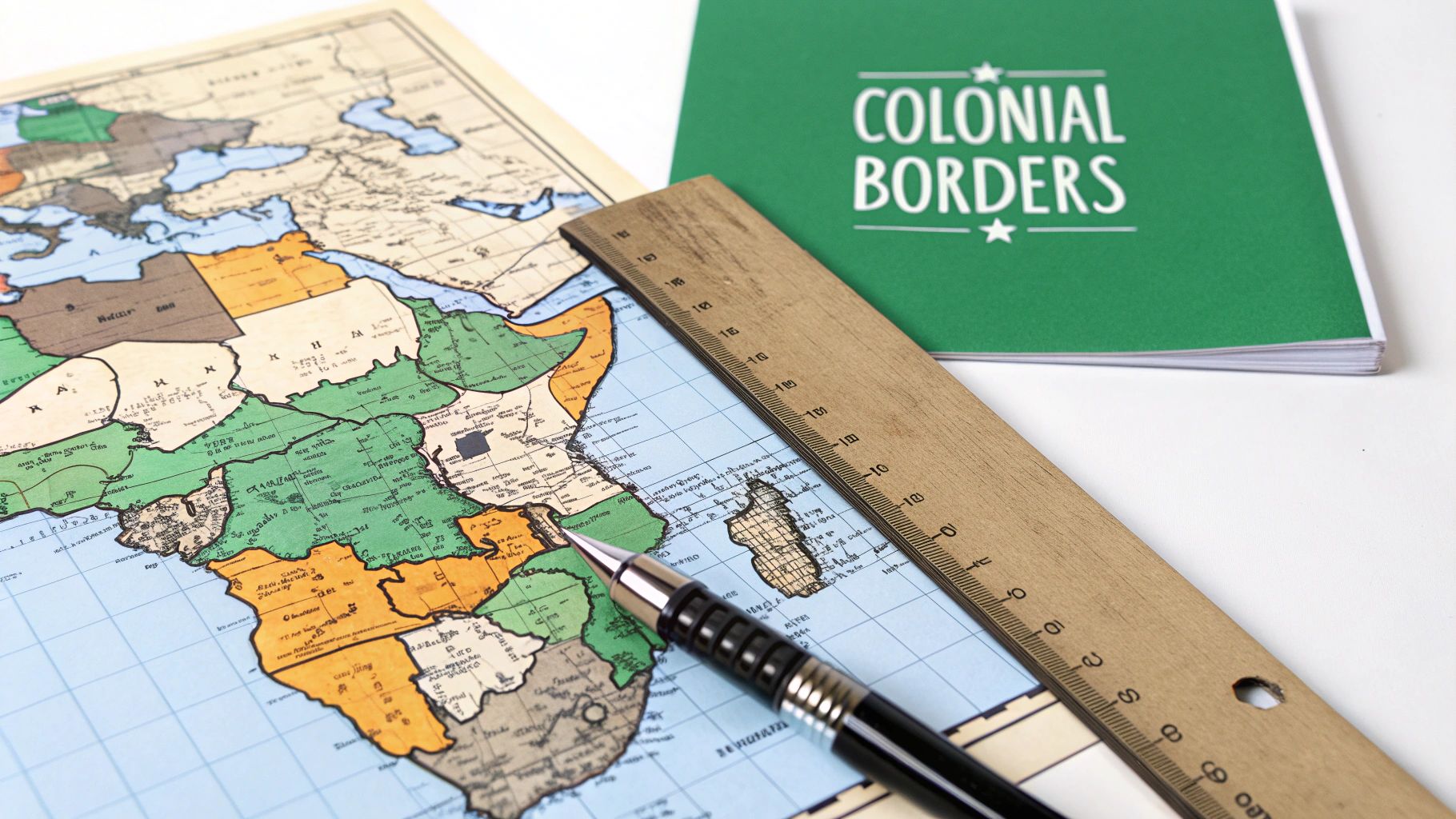
How Colonial History Shaped Africa's Borders
Ever looked at a map of Africa and thought, "Why are some of these borders perfect straight lines?" They slice across deserts and mountains, ignoring the natural flow of the land. It’s no accident.
This isn't just a random history lesson. Understanding why the map looks the way it does transforms an abstract Africa map quiz into a story. And stories are much easier to remember than shapes.
Many of these seemingly random boundaries are a direct result of Europe's colonial past. When European powers carved up the continent, their decisions were driven by political deals and resource claims, not the rich tapestry of ethnic groups and cultures already living there.
The Scramble for Africa
The late 19th century was a frenzy. The "Scramble for Africa" saw European nations rushing to stake their claims. This chaotic land grab was made official at the 1884 Berlin Conference, where powers like Britain, France, Belgium, and Portugal essentially drew lines on a map to divide the continent among themselves.
The biggest problem? These deals were made thousands of miles away, completely ignoring the people who actually lived there. Borders were drawn using latitude and longitude, creating the unnaturally straight lines you see on the borders of Egypt, Libya, and Namibia. You can discover more about this pivotal era and its impact on the continent's geography.
Knowing that many borders were artificially imposed helps explain why some countries have such awkward or illogical shapes. It connects the "what" (the country's shape) with the "why" (its colonial history), making it far more memorable.
Case Studies in Colonial Map-Making
Looking at specific examples makes this history feel real—and much easier to recall during a quiz.
- The Gambia and Senegal: The Gambia is that long, skinny country that's almost completely swallowed by Senegal, with just a tiny bit of coastline. Its weird shape follows the Gambia River, which was a vital trade route for the British. France controlled everything else around it, creating one of the most unique national borders on the planet.
- Namibia's Caprivi Strip: See that bizarre, narrow panhandle sticking out from Namibia's northeast corner? That's the Caprivi Strip. It was created by the Germans to give their colony, South West Africa (now Namibia), a direct route to the Zambezi River for trade.
Why This Matters for Your Quiz Performance
So, how does any of this actually help you nail an Africa map quiz? Simple. It gives you a story to hang the facts on.
Instead of just forcing yourself to remember that The Gambia is inside Senegal, you remember the story of the British wanting to control a river. Instead of just seeing a random strip of land on Namibia, you recall Germany's strategic goal of reaching the Zambezi.
This storytelling approach creates much stronger mental connections than just staring at a map. It gives meaning to the shapes, turning a simple geography test into an exploration of history and politics. You’re not just learning locations; you're learning the stories behind them.
Putting Your Knowledge to the Test With Interactive Tools
Embedded content
Okay, studying maps and drilling mnemonics is a great start, but passive learning will only take you so far. The real progress happens when you have to actively pull that information from your brain, especially under a little bit of pressure.
This is where interactive online tools completely change the game. They turn your practice from a simple chore into an engaging challenge. Using a platform with an Africa map quiz is the single best way to make your knowledge stick. It’s one thing to see the name "Nigeria" and know roughly where it is, but it's a whole other skill to see an empty shape on the map and instantly recall its name. That active recall is what builds strong, lasting connections in your brain.
Use Timed Quizzes to Boost Speed and Accuracy
Once you're feeling a bit more comfortable with the basics, it's time to turn up the heat by adding a timer. Timed quizzes do more than just test what you know—they train you to access that knowledge fast. The pressure helps mimic a real-world test or competition, forcing you to trust your gut instincts.
Don't get discouraged if your first few attempts are messy. Start with a generous time limit and slowly shrink it as you get better. The goal here isn't a perfect score right away; it's about building that "muscle memory" so you don't even have to think. Your brain just knows.
Here’s a look at how an interactive map challenge on EarthChasers is set up. It's designed to be clean and immersive, pulling you into the experience and helping you stay focused.
The visual-first approach keeps things interesting and makes you want to keep playing, which is half the battle.
Gamify Your Learning with Community Features
Let's be honest: staying motivated is tough. That’s why tapping into a bit of friendly competition can be so powerful. Platforms like EarthChasers bake community features right in, turning a solo study session into a global game.
- Leaderboards: See how your scores compare to other geography buffs around the world. Trying to climb the weekly or all-time rankings is a surprisingly effective way to get yourself to practice.
- Daily Challenges: These are perfect for building a consistent habit. You get a fresh, new quiz every day, making it easy to keep your skills sharp without a huge time commitment.
This is the same kind of dynamic that makes games like GeoGuessr so addicting. In fact, if you're curious about how gamification has reshaped geography learning, you can read our guide on what GeoGuessr is.
Create Custom Quizzes for Targeted Practice
Now for the real secret weapon: custom quizzes. Standard quizzes are fantastic for general practice, but custom quizzes let you zero in on your specific weak spots.
Don’t just practice what you’re good at. The fastest way to get better is to build a quiz that forces you to confront the exact regions or countries you always mix up.
Are you constantly confusing Malawi, Zambia, and Zimbabwe? Make a quiz that only includes those countries. Or maybe the small coastal nations in West Africa are giving you trouble. A custom quiz lets you drill that specific area over and over until it becomes second nature. This kind of targeted practice ensures every minute you spend studying is as effective as possible.
Common Questions About the Africa Map Quiz
Even the most dedicated students hit a wall when trying to nail down the entire map of Africa. It's perfectly normal. In my experience, a few common hurdles and questions pop up time and time again.
Let's tackle these sticking points head-on. Clearing up the confusion around them is often the key to getting you back on track and moving toward total mastery of the continent. It all starts with asking the right questions, and funnily enough, many of the same principles of crafting effective questions for other fields apply right here. Let's dig into the ones I hear most often.
What Is the Fastest Way to Learn All the Countries?
There's no single magic trick, but a combination of a few smart techniques gets the job done faster than anything else. The most powerful method I've found is pairing regional chunking with active recall.
Forget trying to swallow all 54 countries in one go. That’s a recipe for burnout.
Instead, break the continent into its five main regions: North, West, Central, East, and Southern Africa. Pour your energy into mastering just one of those regions before moving on. Then, jump into interactive quizzes and use the "test" mode, which forces your brain to retrieve the info from scratch. A consistent 10-15 minutes of this kind of focused practice every day will beat a long, weekly cram session every time.
Active recall is the secret sauce. Forcing your brain to pull an answer out of thin air, rather than just recognizing it, feels tougher but builds rock-solid, long-term memory. The results are dramatically better and come much faster.
Which African Countries Are Most Commonly Confused?
You're definitely not alone if you keep mixing up certain countries. A few groups are notorious troublemakers. Knowing about them ahead of time helps you give them the extra attention they need.
- The Three Guineas: Over in West Africa, you’ve got Guinea, Guinea-Bissau, and Equatorial Guinea. Their similar names make them a classic stumbling block. The key is to visualize their exact positions relative to one another.
- The Two Congos: The Republic of the Congo and the much, much larger Democratic Republic of the Congo are another common mix-up. Here's a simple trick: associate the DRC's enormous size with its longer name.
- Lesotho and Eswatini (formerly Swaziland): These two small, landlocked nations in Southern Africa are easy to swap. Just remember that Lesotho is the one completely engulfed by South Africa.
Are There Any Apps You Recommend for Practicing?
Absolutely. The right tool can make a world of difference. For serious practice, platforms like Seterra or our own EarthChasers are fantastic. They offer different quiz modes, let you track your progress, and add a little competitive spice with leaderboards.
For quick sessions when you're on the move, mobile apps like "World Map Quiz" usually have dedicated Africa sections. The single most important feature to look for, though, is customization. An app that lets you zero in on a single region or just the handful of countries giving you trouble is your best bet for efficient, targeted practice.
Ready to put these tips into practice and conquer the map? EarthChasers offers immersive 3D quizzes and community challenges that make geography genuinely fun and effective. Start your first Africa map quiz challenge today!