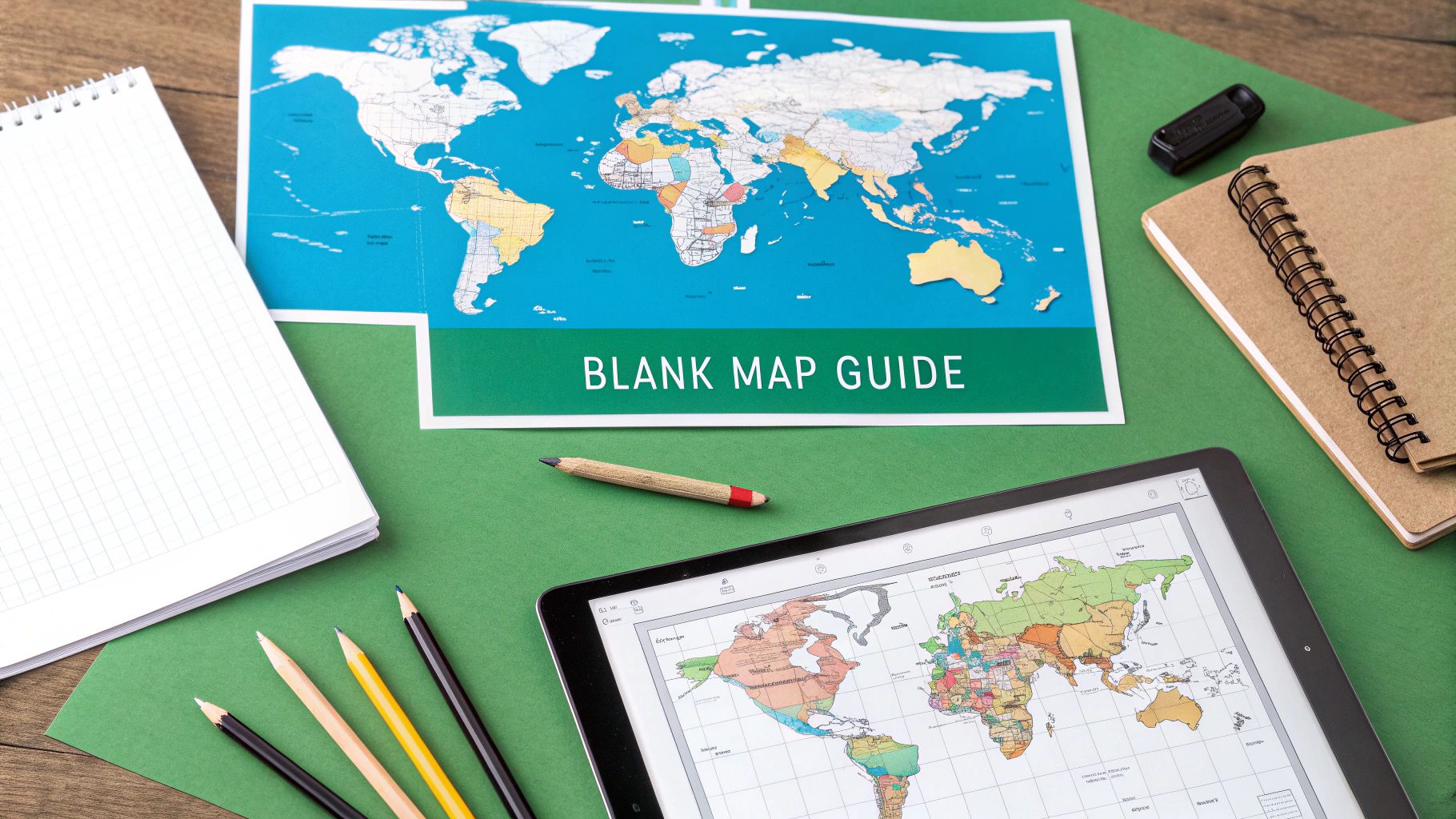
12 Best Blank Map of the Americas Resources for 2025
Discover the 12 best free and premium blank map of the Americas resources. Find printable PDFs, SVGs, and interactive maps for classrooms and projects.
Whether you are an educator crafting the perfect geography lesson, a student cramming for an exam, or a developer seeking a clean asset for a new game, a high-quality blank map of the Americas is a fundamental tool. Finding the right format, however, can be a time-consuming challenge. Do you need a simple printable outline for a classroom worksheet, a high-resolution political map for a presentation, or a scalable vector graphic (SVG) for a complex design project? The sheer volume of online resources often leads to frustration and settling for a less-than-ideal map.
This guide eliminates the guesswork. We have curated and analyzed the 12 best sources for downloading or creating a blank map of the Americas, tailored to a wide range of needs. From comprehensive educational portals like National Geographic to versatile interactive tools like MapChart and vast repositories such as Wikimedia Commons, we provide a clear path to finding your perfect map. Each entry includes a direct link, a breakdown of its unique strengths, potential limitations, and specific use cases to help you make an informed choice quickly.
We will explore everything from free, print-ready PDFs to professional-grade vectors suitable for detailed customization. For those looking to transform their digital blank maps into impressive physical displays for classrooms, offices, or events, exploring professional large format printing services can unlock new possibilities for your cartographic projects. Let's dive in and find the ideal blank canvas for your needs.
1. National Geographic (NatGeo Maps and printables)
National Geographic is a hallmark of cartographic excellence, offering educational resources that are both authoritative and accessible. While they don't provide a single, dedicated "blank map of the Americas," their World Coloring Map serves as an excellent, high-resolution alternative for classroom projects and homeschooling activities. The map is designed as a multi-page PDF, intended to be printed and assembled into a large, detailed poster.
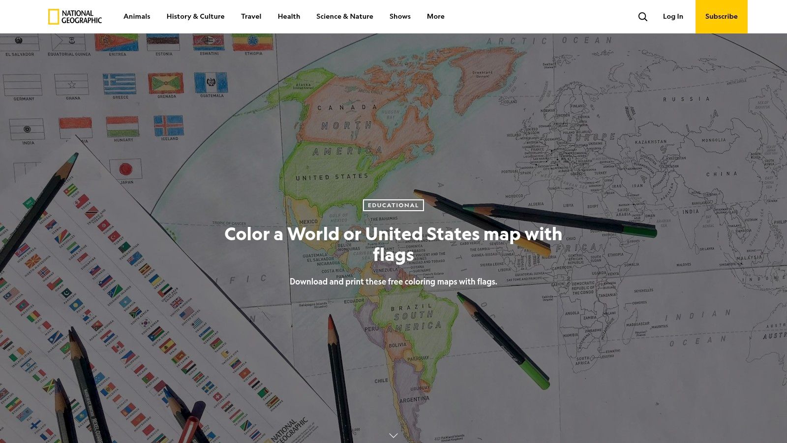
The primary strength of NatGeo's offering is its educational framework. The printable resources come with clear, teacher-friendly instructions and are supported by a wealth of classroom activities available on their education portal. For those looking to create a more permanent, high-quality display, these high-resolution files are perfect for professional printing. Services that offer custom poster printing can transform the downloadable PDF into a durable, wall-sized teaching tool.
Key Features and Considerations
- Free Multi-Page Printables: The World Coloring Map is freely available and designed to be printed on standard paper and assembled, making it accessible for any classroom budget.
- Educational Integration: NatGeo pairs its maps with learning guides and activities, turning a simple coloring exercise into a comprehensive geography lesson.
- High-Quality Cartography: As a trusted source, the maps are accurate and clearly rendered, providing a reliable base for any project. While their resources often focus on specific regions, you can find a more detailed look at their printable maps of North America for more targeted study.
Website: National Geographic World Coloring Map
2. FreeVectorMaps
FreeVectorMaps is a professional-grade resource tailored for graphic designers, educators, and developers who require high-quality, editable map assets. Instead of simple printables, it offers detailed vector files perfect for projects needing customization, from presentations and websites to game asset creation. Their Americas Map Bundle is particularly useful, providing a comprehensive collection of maps covering North, Central, and South America.
The primary advantage of FreeVectorMaps is its focus on layered, fully editable vector formats (AI, EPS, SVG, PDF). This allows users to modify colors, hide or show specific layers like country names or borders, and scale the map to any size without losing quality. While many individual maps are free, their premium bundles offer a royalty-free license for unlimited commercial projects, making it a reliable source for professional use. This makes it an excellent choice for anyone needing a detailed and customizable blank map of the Americas for commercial or complex design work.
Key Features and Considerations
- Professional Vector Formats: Provides files in AI, EPS, SVG, and PDF, which are ideal for editing in software like Adobe Illustrator or Inkscape.
- Layered and Editable: Maps are constructed with separate layers for countries, borders, and labels, offering maximum control over the final appearance.
- Commercial Use Licensing: The premium bundles come with a clear, royalty-free license, which is crucial for designers and businesses. Many individual country maps are available for free with attribution.
- Technical Requirement: To fully utilize these maps, users will need access to and familiarity with vector graphics software, which presents a barrier for casual users.
Website: FreeVectorMaps Americas Bundle
3. MapChart
MapChart is a highly interactive, browser-based tool that excels at generating custom-colored maps quickly and efficiently. It offers a dedicated canvas specifically for "The Americas," allowing users to create a tailored blank map of the Americas or a colored version for presentations, data visualization, or educational worksheets. Its click-to-color interface is incredibly intuitive, making it a go-to resource for those who need a custom map without the complexity of graphic design software.

The platform's primary advantage is its speed and ease of use. You can generate and download a unique map in minutes, complete with a custom legend. This makes it perfect for teachers creating last-minute classroom materials or for professionals needing a quick visual for a report. The ability to export as a high-quality PNG or a scalable SVG file ensures the final product is versatile enough for both digital use and high-resolution printing.
Key Features and Considerations
- Interactive Coloring: Simply click on countries or regions to fill them with color, allowing for the rapid creation of thematic or political maps. This is an excellent way to visualize data or prepare a study guide.
- Multiple Export Options: Download your finished map as a PNG, JPEG, or SVG file. The SVG format is particularly useful as it allows for lossless scaling, perfect for large-format printing or further editing in vector software.
- Free and Accessible: The core features are available for free without requiring an account. While an optional "MapChart Plus" subscription unlocks advanced features, the free version is more than sufficient for most users seeking a simple blank map of the Americas.
Website: MapChart The Americas
4. Wikimedia Commons
Wikimedia Commons is an indispensable repository for high-quality, free-to-use media, making it a prime destination for a versatile blank map of the Americas. Its collection features editable vector files like the popular 'BlankMap-Americas.svg', which are ideal for users who need a clean, scalable base map for custom projects. The open-source nature of the platform means these resources are perfect for educational, personal, or even commercial use, provided the specific file license is followed.
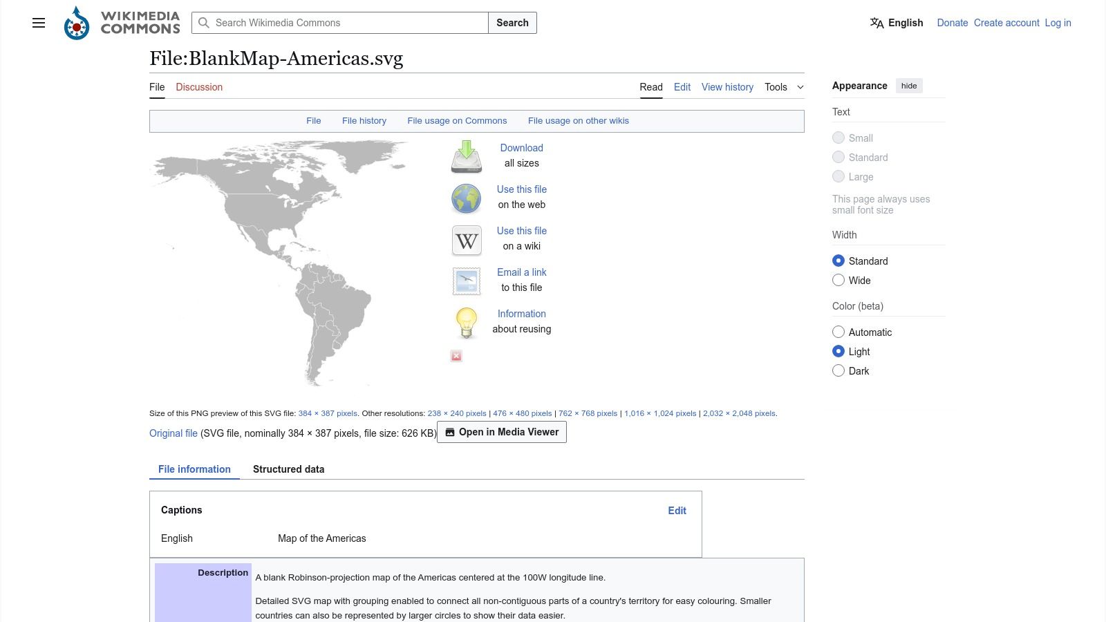
The key advantage of Wikimedia Commons lies in the flexibility of its SVG files. Unlike static image formats, SVG maps can be resized to any dimension without losing quality, making them perfect for printing large posters or detailed worksheets. Users with vector editing software like Adobe Illustrator or the free alternative Inkscape can easily modify these files. You can isolate countries, change colors, or add custom labels, offering a level of control that pre-made printables cannot match.
Key Features and Considerations
- Editable SVG Originals: The platform hosts scalable vector graphics that can be customized with software. This allows for precise modifications, such as isolating specific countries or regions for focused study.
- High-Resolution and Scalable: Vector files maintain perfect clarity at any size. This is crucial for creating professional-quality prints or high-resolution digital assets for presentations and web use.
- Permissive Licensing: Most maps are public domain or available under Creative Commons licenses, allowing for broad reuse with minimal restrictions. However, it's essential to check the license for each specific file, as some may require attribution.
- Requires User Initiative: Unlike curated educational sites, Wikimedia provides the raw files with minimal instructions. Users need their own software and basic knowledge of vector graphics to edit the maps effectively.
Website: Wikimedia Commons - BlankMap-Americas.svg
5. d-maps.com
d-maps.com is a vast, no-frills repository of free geographical maps, making it an invaluable resource for educators and students needing a quick, simple blank map of the Americas. Its strength lies in the sheer variety and accessibility of its content. The platform offers numerous configurations, including maps of the entire Americas, North America, Central America, and South America, each available in different styles such as outlines, with or without country names, and in basic color or black and white.
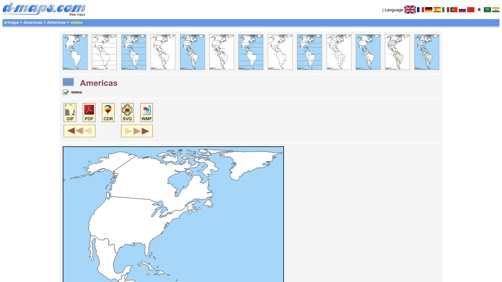
The website is designed for immediate use. Users can quickly find a suitable map and download it directly as a PDF, GIF, or PNG file without navigating complex menus or registration forms. This straightforward workflow makes it perfect for creating classroom worksheets, labeling exercises, or quick study guides. While the designs are more functional than artistic, they provide clear and accurate outlines suitable for most educational purposes.
Key Features and Considerations
- Extensive Variety: Offers a wide selection of map styles, including outlines, political boundaries, and physical features for the Americas as a whole and its subregions.
- Multiple Download Formats: Maps are readily available in PDF, GIF, PNG, and other image formats, providing flexibility for printing or digital use.
- Free and Direct Access: All maps are free to download without any required sign-up, making it a highly accessible tool for teachers and students on a budget. The designs are simple, so they are printer-friendly and don't consume excessive ink.
- Limited Editability: Most maps are provided as raster images (PNG, GIF) or non-layered PDFs, which limits advanced customization compared to SVG or AI vector files. The visual style is basic and may not be suitable for professional graphic design projects.
Website: d-maps.com Americas Map
6. SuperColoring
SuperColoring offers a straightforward and accessible resource for anyone needing a simple, printable map of the Americas, primarily for educational or recreational coloring activities. Its main strength lies in its simplicity; the platform provides clean, kid-friendly outline maps of the continents, available both with and without country borders. These maps are designed specifically as coloring pages, making them an excellent, no-cost tool for teachers and parents.
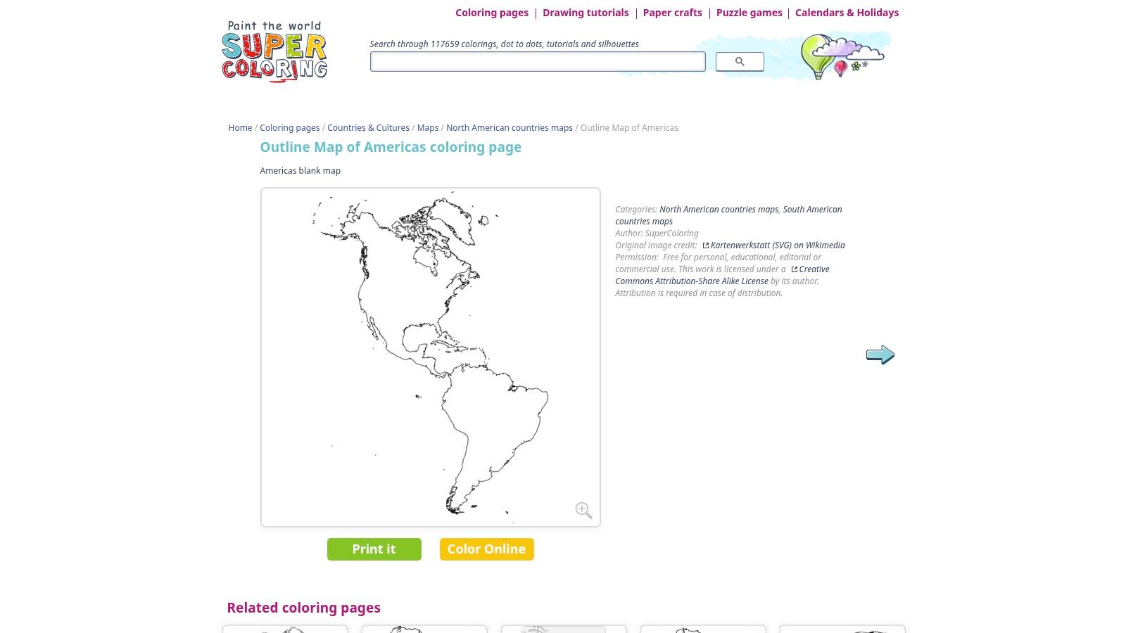
The user experience is incredibly simple, with one-click options to either print the map directly or color it online using a basic digital tool. This immediate accessibility is a significant advantage for quick classroom preparations or impromptu learning sessions at home. While it lacks the high-resolution vector files or detailed cartographic data found on professional sites, SuperColoring excels in its niche: providing a fast, free, and fun blank map of the Americas for labeling exercises and creative projects.
Key Features and Considerations
- Zero-Cost and No Sign-Up: All maps are completely free to download and print without requiring any user registration, offering immediate access to resources.
- Kid-Friendly Design: The maps feature bold, clear outlines and are formatted as coloring pages, which is ideal for younger learners in a classroom or homeschooling environment.
- Print and Online Coloring: Users have the flexibility to either print a physical copy for hands-on activities or use the website's built-in digital coloring tool for an interactive experience.
- Basic and Focused: The designs are intentionally simple and not suitable for professional or high-detail projects. The focus is strictly on coloring and basic labeling, with limited file format options.
Website: SuperColoring Outline Map of Americas
7. WorldMapBlank
WorldMapBlank specializes in providing clean, printer-friendly maps tailored for educational settings. While it doesn't offer a single combined blank map of the Americas, it presents high-quality, separate outline maps for North and South America. These resources are designed specifically for classroom worksheets, quizzes, and coloring activities, offered as easily downloadable A4/A5 PDF files.
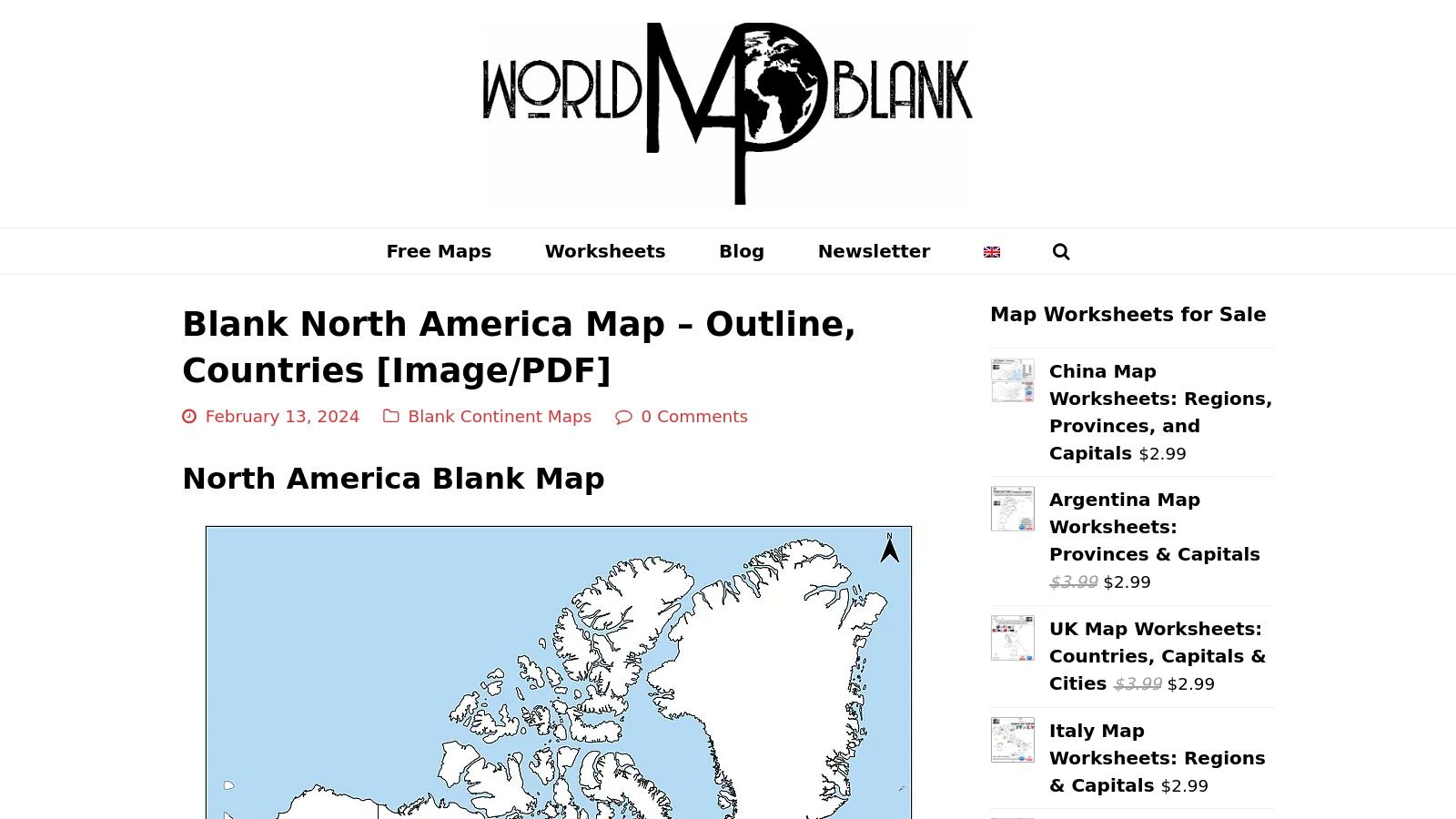
The platform’s key strength lies in its simplicity and focus on utility. Users can choose from several variations for each continent, including maps with just country borders, those with state/province lines, or versions showing capital cities. This flexibility allows educators to select the precise level of detail needed for a specific lesson plan. The website's minimalist design ensures a straightforward user experience, making it easy to find and download the required maps without navigating complex menus.
Key Features and Considerations
- Multiple PDF Variants: Each continent map is available in different versions, such as with or without political subdivisions and capitals, catering to diverse educational needs.
- Printer-Optimized Layouts: The maps are formatted for standard A4 and A5 paper sizes, ensuring hassle-free printing for immediate classroom use.
- Separate Continent Focus: The site provides distinct maps for North and South America, which is ideal for focused regional studies. For lessons covering the smaller island nations, you may want to supplement with a dedicated blank map of the Caribbean Sea.
- Free and Accessible: All maps are available for free download, making them an excellent resource for educators and students on a budget. The primary limitation is the need to source or manually combine the maps for a full view of the Americas.
Website: WorldMapBlank North America
8. Lizard Point
Lizard Point is a go-to resource for educators and students seeking practical, quiz-ready geography materials. While it doesn't offer a single consolidated blank map of the Americas, its strength lies in providing detailed printable maps for specific subregions like South America and Central America. The platform is designed to support learning through repetition and testing, pairing its printables directly with interactive online quizzes.
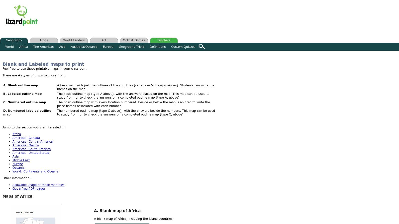
The platform's main advantage is its efficiency for creating study aids. Teachers can quickly generate worksheets in four styles: blank, labeled, numbered for quizzing, and a numbered version with an accompanying answer key. This integrated system of printable practice sheets and online quizzes streamlines the process of teaching and assessing geographical knowledge, making it a highly functional tool for classroom environments. Its focus on regional detail is particularly useful for targeted lessons; for example, its materials are excellent for preparing for a Central America map quiz.
Key Features and Considerations
- Four Printable Styles: Instantly generate maps that are blank, labeled, numbered for quizzes, or numbered with a corresponding answer key, minimizing prep time for educators.
- Subregional Focus: Provides detailed maps for individual regions like South America and Central America rather than a single continental map.
- Integrated Learning System: The printable maps are designed to work alongside the website’s free online geography quizzes, creating a cohesive study experience.
- Functional Design: The maps are clear and functional for educational purposes, though they lack the high-polish aesthetic needed for professional design or display projects.
Website: Lizard Point Printable Maps
9. Natural History on the Net
Natural History on the Net is a straightforward, no-frills resource ideal for educators and parents seeking quick, printable materials. While it doesn't offer a single combined blank map of the Americas, it provides separate, dedicated worksheet collections for both North and South America. These are designed specifically for K-12 classroom use, focusing on practical application over cartographic detail.

The platform's main advantage is its simplicity and directness. Users can immediately see thumbnail previews of different map versions and click to open a printable PDF without navigating complex menus or registration forms. This makes it an excellent go-to for last-minute lesson planning or homework assignments. The availability of quiz and labeling versions allows teachers to easily differentiate instruction for students at various learning levels within the same classroom.
Key Features and Considerations
- Worksheet-Style PDFs: The site provides multiple versions of its North and South America maps, including completely blank outlines, versions for labeling countries, and pre-made quizzes.
- Free and Immediate Access: All maps are completely free to download and print without requiring any sign-up or registration, making them highly accessible.
- Designed for Differentiation: Offering several variants of the same map allows educators to tailor activities to different grade levels or individual student needs, from simple coloring to more complex recall tests.
- Basic and Non-Editable: These resources are simple, static PDFs and do not come in editable vector formats. They are best suited for printing as-is rather than for digital customization or design projects.
Website: Natural History on the Net
10. Adobe Stock
For professionals, graphic designers, and content creators needing a high-quality, editable map for commercial projects, Adobe Stock is an indispensable resource. It offers vector-based assets, like an "Empty Political Map of the Americas," which provide unparalleled flexibility for customization. These files are designed for professional use, ensuring crisp lines and scalability for everything from web graphics to large-format printing.
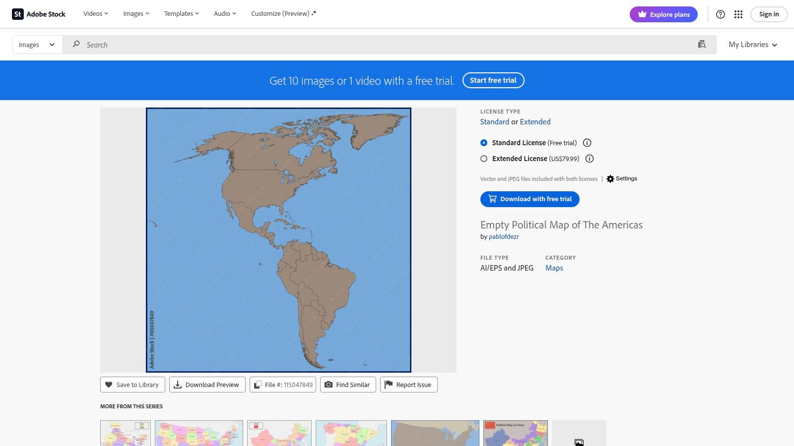
The primary advantage of using Adobe Stock is its seamless integration with the Adobe Creative Cloud suite. Users can easily open and modify the vector files (AI/EPS) in applications like Adobe Illustrator, allowing for changes to colors, borders, labels, and individual country shapes. While this service requires a subscription or a per-asset purchase, the investment ensures a professionally crafted blank map of the Americas with clear licensing terms, eliminating any ambiguity for commercial use. This makes it ideal for game developers, publishers, and marketing agencies.
Key Features and Considerations
- Professional Vector Assets: Provides access to high-resolution, fully editable vector files (AI/EPS), which are perfect for detailed customization and scaling without quality loss.
- Clear Commercial Licensing: Offers standard and extended licenses, clearly defining usage rights for projects like merchandise, digital media, or print publications.
- Creative Cloud Integration: Assets can be easily managed and edited directly within Adobe applications, streamlining the workflow for designers and content creators.
- Paid Resource: Access requires a subscription plan or the purchase of credit packs, making it a premium option compared to free resources.
Website: Adobe Stock Empty Political Map of the Americas
11. Shutterstock
For professionals requiring a high-quality, commercially licensed blank map of the Americas, Shutterstock is a leading stock media platform. It hosts a massive library of vector and raster images, providing an unparalleled variety of styles, projections, and artistic interpretations. This makes it an ideal source for graphic designers, game developers, and content creators who need polished assets ready for commercial projects.
Unlike free educational resources, Shutterstock's assets are designed for professional workflows. The platform’s strength lies in its extensive search and filtering capabilities, allowing users to pinpoint the exact map style they need, from minimalist outlines to detailed political maps with subtle textures. The availability of vector formats like SVG and AI is a major advantage, offering infinite scalability and full customization for branding, animation, or interactive media. However, all assets require a purchase through a subscription or credit pack.
Key Features and Considerations
- Vast Commercial Library: Access thousands of map variations from different artists, ensuring you can find a unique aesthetic that matches your project's specific needs.
- Professional Formats: Provides high-resolution raster files (JPG, PNG) and fully editable vector files (SVG, AI, EPS), which are essential for professional design and development.
- Clear Licensing: All maps come with straightforward commercial licenses, eliminating ambiguity about usage rights for business-related projects, marketing materials, or products. The primary downside is the cost, as assets are not free.
Website: Shutterstock
12. Miller Pads & Paper — The Americas Map Bundle
For educators and homeschoolers who prefer a tangible, ready-to-use solution, Miller Pads & Paper offers a practical alternative to digital downloads. Their "Americas Map Bundle" consists of physical pads of blank maps, eliminating the need for printing and preparation. Each pad contains 25 sheets, providing a convenient and consumable resource for classroom activities, quizzes, and repetitive practice.

The primary advantage of this product is its simplicity and efficiency. Teachers can distribute these 8.5 x 11-inch sheets directly to students for labeling political boundaries or geographical features. This approach is ideal for environments without easy access to a printer or for educators looking to save time on material prep. While the maps are not editable and are limited to a standard letter size, their value lies in providing a cost-effective, bulk supply of a quality blank map of the Americas for hands-on learning.
Key Features and Considerations
- Ready-to-Use Physical Pads: The bundle includes map pads for North and South America, with 25 sheets each, making them perfect for immediate classroom use without any printing.
- Designed for Classroom Activities: The clean political outlines are optimized for students to label countries, capitals, and other points of interest.
- Bulk and Budget-Friendly: This is an economical option for educators needing a large quantity of maps for entire classes. Free shipping is often available for qualifying orders within the US.
- Not a Digital Resource: These are physical products, so they cannot be customized, resized, or used in digital projects. They are intended solely for pen-and-paper exercises.
Website: Miller Pads & Paper The Americas Map Bundle
Blank Map of the Americas – 12-Resource Comparison
| Source | Core Features | Quality ★ | Price/Value 💰 | Target 👥 | Unique/Standout ✨🏆 |
|---|---|---|---|---|---|
| National Geographic (NatGeo) | High-res printable maps + teacher activities; option to order wall maps | ★★★★☆ Trusted cartography | Free printables; paid wall maps 💰 | Teachers & homeschoolers 👥 | Trusted brand & classroom guides ✨🏆 |
| FreeVectorMaps | Layered AI/EPS/SVG/PDF vectors; Americas bundle | ★★★★☆ Professional vectors | Some free; bundles paid 💰 | Designers & printers 👥 | Editable layered files + clear licensing ✨ |
| MapChart | Browser click-to-color, legends, PNG/JPEG/SVG export | ★★★★★ Fast & easy | Free tier; Plus for advanced tools 💰 | Teachers, presenters, quick users 👥 | Interactive coloring + SVG export ✨ |
| Wikimedia Commons | Public-domain/CC SVGs (e.g., BlankMap-Americas.svg) | ★★★★☆ High-quality but DIY | Free (license varies) 💰 | DIY editors & educators 👥 | Large free vector repo + permissive licenses ✨ |
| d-maps.com | Direct PNG/PDF downloads in printer-friendly styles | ★★★☆☆ Functional & speedy | Free 💰 | Teachers & worksheet creators 👥 | Quick printer-ready map variants ✨ |
| SuperColoring | One-click printable coloring-outline maps for kids | ★★★☆☆ Child-friendly layouts | Free 💰 | Kids & elementary teachers 👥 | Coloring-page format for easy activities ✨ |
| WorldMapBlank | A4/A5 PDFs with border/state/capital variants | ★★★★☆ Print-optimized | Free 💰 | Classroom printers & teachers 👥 | Multiple print-size variants for worksheets ✨ |
| Lizard Point | Printable blank/numbered/labeled maps + online quizzes | ★★★★☆ Practice-focused | Free 💰 | Students & teachers for drills 👥 | Built-in quizzes & answer keys ✨🏆 |
| Natural History on the Net | Worksheet-style PDFs with variants and thumbnails | ★★★☆☆ Basic, classroom-ready | Free 💰 | K–12 teachers 👥 | Differentiated worksheet variants ✨ |
| Adobe Stock | High-res editable vectors (AI/EPS) with licensing | ★★★★★ Professional quality | Paid assets/subscription 💰 | Professional designers & publishers 👥 | Premium assets + CC integration ✨🏆 |
| Shutterstock | Large catalog of vector & raster Americas maps | ★★★★☆ Vast variety | Subscription/credits required 💰 | Commercial designers & agencies 👥 | Huge style/projection choices ✨ |
| Miller Pads & Paper — Americas Bundle | Physical pads (25 sheets) of blank maps (8.5×11") | ★★★☆☆ Practical classroom supply | Paid pads; bulk value 💰 | Classrooms needing ready paper 👥 | Ready-to-use consumable map pads (no printing) ✨ |
From Blank Map to Global Adventure
The journey through the diverse landscape of digital and printable maps has shown us one clear truth: a blank map of the Americas is far more than just an empty outline. It is a canvas for education, a framework for data visualization, and a launchpad for creative projects. We have explored a wide array of resources, from the high-resolution, professional-grade vector files available on platforms like Adobe Stock and FreeVectorMaps to the wonderfully accessible and classroom-ready PDFs from d-maps.com and SuperColoring.
Each tool we've covered serves a unique purpose. Interactive creators like MapChart and Lizard Point empower you to build custom digital maps in minutes, perfect for online quizzes or dynamic presentations. Meanwhile, repositories like Wikimedia Commons offer a treasure trove of files under permissive licenses, ideal for developers and content creators who need flexibility without the high cost.
Key Takeaways and Your Next Steps
Choosing the right map is about aligning the resource with your specific goal. Before you download, consider these critical factors to ensure you select the perfect tool for your project:
- Define Your Purpose: Are you creating a printable worksheet for students, a detailed infographic for a presentation, or a base layer for a video game asset? Your end use will immediately narrow your options. For classroom use, simplicity is key; for design work, scalability and editability are paramount.
- Evaluate File Formats: Remember the fundamental difference between raster (PNG, JPG) and vector (SVG, AI) files. If you need to resize your map without losing quality or edit individual country shapes, a vector format is non-negotiable. For simple printing or digital viewing, a high-resolution PNG might be all you need.
- Check Licensing and Attribution: This is a crucial step, especially for commercial or public-facing projects. While many resources are free for personal use, they often require attribution. Always read the fine print to understand your obligations and avoid any potential copyright issues down the line.
Turning Knowledge into Action
Now that you are equipped with the best resources for finding a blank map of the Americas, the real adventure begins. Don't let your map remain a static image on your hard drive. Transform it into a tool for active learning and engagement.
Challenge yourself to label every country and capital from memory. Use a physical map outline to trace the paths of famous explorers or the migration patterns of animals. For digital artists and game developers, these maps are the foundational layer for building immersive worlds, alternate histories, or compelling data stories. The potential is limited only by your imagination.
By moving from passive observation to active interaction, you transform a simple geographical tool into a dynamic experience. You deepen your understanding of the interconnectedness of North, Central, and South America, appreciating the vast distances and diverse cultures contained within those lines. This is the ultimate goal: to use these resources not just as references, but as catalysts for genuine exploration and discovery. The map is not the destination; it is the invitation to begin your journey.
Ready to take your geographical exploration to the next level? Use your new map-making skills to plan virtual expeditions and then bring them to life in the EarthChasers global discovery game. Turn that blank map of the Americas into a real adventure by joining our community at EarthChasers today