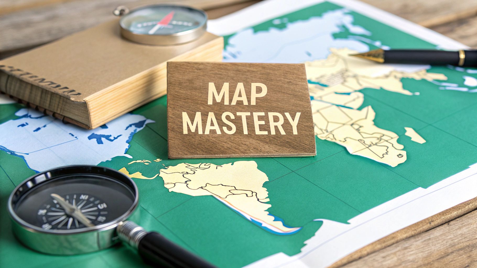
Master the Central America Map Quiz Challenge
Ace the Central America map quiz with our guide. Explore interactive challenges, study tips, and regional insights to master Central American geography.
A simple Central America map quiz might feel like just another school test, but it's really your first step into a region packed with vibrant cultures, critical global trade routes, and incredible history. This guide is here to turn that quiz from a boring memory game into a genuine journey, showing you how knowing these seven countries gives you real context for world news and makes travel so much richer.
Why a Map Quiz Is More Than Just Memorization
Staring at a map of Central America can feel a little overwhelming at first. It's a tight cluster of seven countries, and each one has its own unique geography and story. The goal of a map quiz seems simple enough: can you name the country and point to it? But it's so much more than a test of rote learning.
Think of it like learning the players on a sports team. Just knowing their names is one thing, but the game gets exciting when you understand their positions, their strengths, and how they play together. A Central America map quiz works the same way. It gives you the foundational knowledge that opens up a much deeper appreciation for the region.
Building a Mental Framework
When you master the map, you're building a mental framework that makes the world make more sense. The next time you hear about an event in Nicaragua or a new eco-tourism spot in Costa Rica, your brain won't just hear a name—it'll instantly place it on the map.
This simple connection turns abstract news headlines into something concrete and relatable. It helps you understand things like:
- Global Connections: Why the Panama Canal is such a massive deal for international trade.
- Cultural Diversity: How Belize's Caribbean coast gives it a completely different vibe from its Spanish-speaking neighbors.
- Historical Context: Why the borders look the way they do, reflecting a complicated history of colonial powers and independence movements.
This kind of geographic literacy isn't about passing a test; it's about building a lasting appreciation for a vital part of our world. It turns learning from a chore into a fascinating exploration of people, places, and how they're all connected.
Ultimately, the point isn't just to drag and drop labels on a screen. It's about building a bridge from simple memorization to genuine understanding. If you want to take it a step further, look for ways to make your online course quizzes interactive and engaging. That's how you make sure the knowledge actually sticks around long after the quiz is done.
Start With the Seven Core Countries
To really nail any Central America map quiz, the best way to start is by mastering the fundamentals. That means focusing squarely on the seven countries that form this unique, narrow bridge of land. Forget about just memorizing a list of names; let's treat this like putting together a puzzle, connecting each piece to a memorable fact that makes it stick.
Think beyond just pointing to a spot on the map. A great quiz question isn't simply, "Where is Belize?" but something more like, "Which is the only country in the region without a Pacific coastline?" Suddenly, Belize has a unique geographical identity that's easy to remember. In the same way, pinpointing the nation that acts as the land bridge to South America helps you lock in Panama’s location right at the southern tip.
This infographic shows how knowing the map is really just the starting point for understanding the region’s culture, history, and even planning your next trip.
As you can see, mastering a map isn't just a memorization drill—it's your gateway to a much deeper connection with the region.
Creating Mental Hooks for Each Nation
The real secret to making this information last is building strong "mental hooks." When you tie a country to a unique story or a standout fact, it stays with you. This simple technique transforms abstract shapes on a screen into real places with distinct personalities.
Here are a few examples to get you started:
- Belize: As we touched on, it’s the only Central American country where English is the official language. That linguistic quirk makes it stand out immediately.
- Costa Rica: Famously abolished its army back in 1949, choosing to spend that money on education and healthcare instead. That peaceful identity is a powerful memory aid.
- El Salvador: Often called the "Land of Volcanoes," it’s the smallest nation in Central America but also one of the most densely populated.
This storytelling approach is far more effective than just drilling flashcards because it gets your brain involved on multiple levels. You're connecting a name and a location to a compelling piece of information, which makes studying for your Central America map quiz not only more effective but a lot more interesting.
The modern map of Central America wasn't always so clearly defined. The region's political boundaries have shifted dramatically over the centuries, especially after gaining independence from Spain.
The political map you see today is a relatively recent development. After breaking from Spanish rule, most of the region briefly united to form the Federal Republic of Central America in 1823. This federation included what we now know as Guatemala, El Salvador, Honduras, Nicaragua, and Costa Rica. But by 1841, the union dissolved, and the individual nations we recognize today began to emerge. You can discover more about the historical evolution of Central America's map to see how these borders took shape.
Central American Countries At a Glance
To give you a quick cheat sheet, here's a simple table that pulls together some key facts for each of the seven nations. It's a great reference for building those mental hooks we talked about.
| Country | Capital City | Borders | Unique Geographic Feature |
|---|---|---|---|
| Belize | Belmopan | Mexico, Guatemala | Only nation with no Pacific coastline |
| Guatemala | Guatemala City | Mexico, Belize, Honduras, El Salvador | Home to Lake Atitlán, a deep volcanic lake |
| Honduras | Tegucigalpa | Guatemala, El Salvador, Nicaragua | Extensive Caribbean coastline with Bay Islands |
| El Salvador | San Salvador | Guatemala, Honduras | Smallest area, but packed with volcanoes |
| Nicaragua | Managua | Honduras, Costa Rica | Largest country in Central America by area |
| Costa Rica | San José | Nicaragua, Panama | Known for its incredible biodiversity and rainforests |
| Panama | Panama City | Costa Rica, Colombia | Connects North and South America; Panama Canal |
Think of this table as your starting point. As you learn, you can add your own facts and associations to make your knowledge even stronger.
From Seven Countries to a Broader Region
Once you feel solid on identifying these seven core countries, you’ll have the foundation you need to understand the wider geographical context. This is crucial for more advanced quizzes that might throw in neighboring regions or major bodies of water.
For those ready to expand their horizons, our Latin American countries quiz is the perfect next step.
By starting small and building up your knowledge piece by piece, you turn what feels like a huge task into a series of small wins. Master these seven nations first, and you'll be well on your way to tackling any geography challenge the Americas can throw at you.
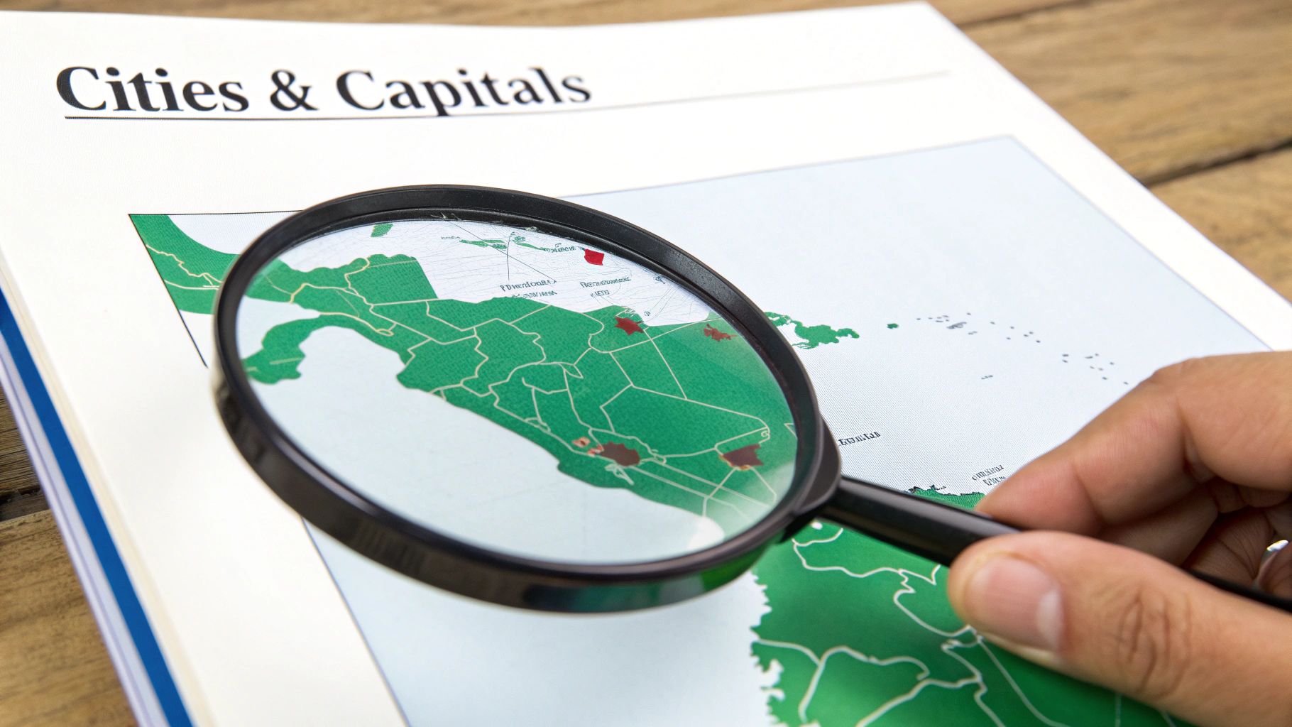
Pinpoint Key Cities and Capitals
Once you have the seven countries locked in, the next level of any Central America map quiz is to pinpoint their nerve centers. Moving beyond country borders to identify capital cities and major urban hubs transforms the map from a simple political diagram into a dynamic representation of culture, commerce, and daily life.
This is where the abstract shapes of countries become grounded in real, vibrant places.
Think of the countries as rooms in a house and the capitals as the main living areas where everything happens. Guatemala City, for instance, isn't just a dot on the map; it's the largest metropolis in the entire region, a bustling hub that drives the nation's economy. Panama City’s global significance is directly tied to its strategic location right at the mouth of the Panama Canal.
Why Capitals and Cities Matter
Learning the capitals adds a crucial layer of context. These cities are often strategically located for historical, political, or economic reasons, and their placement can reveal a lot about a country's development. A good quiz won't just ask you to match a capital to its country; it will challenge you to locate it on the map itself.
For example, a question might ask you to identify Tegucigalpa, the capital of Honduras. Knowing its inland, mountainous location helps you distinguish it from coastal hubs and gives you a clue about the country's interior geography. That kind of detail makes your mental map richer and far more accurate.
Pinpointing cities on a map is about more than just memorization; it’s about connecting a country's identity to a specific place. It links the political entity to the human story, showing you where life, history, and culture truly unfold.
The largest cities, like Guatemala City (population over 1 million), San Salvador (over 500,000), and Tegucigalpa (over 800,000), reflect this diversity, serving as the economic and cultural engines for the region. You can explore more data about Central American urban centers to really grasp their scale.
Strategies for Learning Urban Centers
To nail this part of your Central America map quiz, try connecting each capital with a memorable image or fact. It makes a huge difference.
- San José, Costa Rica: Picture it nestled in the Central Valley, surrounded by lush green mountains, perfectly reflecting the country's eco-friendly reputation.
- Belmopan, Belize: Just remember it as one of the world's smallest capital cities. That little fact makes it unique and easier to recall among its much larger neighbors.
- Managua, Nicaragua: Visualize it sitting right on the southern shore of Lake Managua, a massive geographical feature that makes its location stick in your mind.
These visual and factual hooks make recall so much easier during a quiz. You're not just remembering a name; you're recalling a place with a distinct personality. Of course, to pinpoint these cities with laser precision, you need a solid grasp of geographical coordinates. To brush up on this, check out our guide on what are latitude and longitude—it’ll help you place any city with confidence.
Explore the Physical Landscape
A country is way more than just lines on a political map. Its real personality is carved into the mountains, rivers, and coastlines. To truly ace any Central America map quiz, you have to look past the borders people drew and get a feel for the dramatic natural features that define the region. This is where the human story connects to the raw power of the land itself.
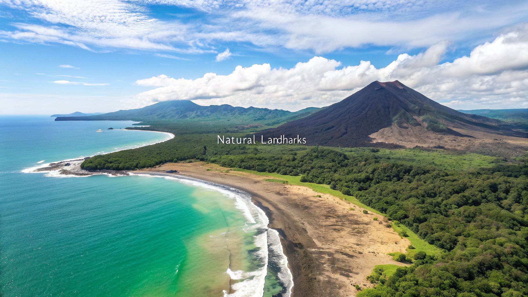
Central America is a land forged by fire and water. A spine of volcanoes—part of the Pacific Ring of Fire—runs right down its middle, creating the rich volcanic soils that have fed civilizations for centuries. At the same time, the region is hugged by two massive bodies of water, the Pacific Ocean and the Caribbean Sea, fueling everything from tiny fishing villages to global trade.
Key Geographic Features to Pinpoint
As you get ready for your quiz, make these natural landmarks your top priority. They aren't just random spots on a map; they're the geographical anchors of the entire isthmus. Knowing where they are and why they matter gives you a much deeper understanding of each country.
Make sure you can point out these key features:
- The Volcanic Arc: This chain of fire stretches from Guatemala down to Panama, serving up both breathtaking scenery and serious geological risks.
- Lake Nicaragua: The biggest freshwater lake in Central America. It’s so massive it acts like an ocean, with big waves and even freshwater sharks.
- The Panama Canal: An engineering masterpiece, this waterway is a critical shortcut for global shipping, connecting the Atlantic and Pacific Oceans.
- Dual Coastlines: Get familiar with which countries touch both the Pacific and the Caribbean. It’s a huge economic advantage for trade and tourism.
Learning the physical geography of Central America is like understanding the blueprint of a house. The layout of mountains, lakes, and coasts dictates where cities are built, how economies develop, and how people live their daily lives.
It's this link between the terrain and human life that makes geography so cool. Pointing to these features on a map is step one, but understanding their real-world impact is what makes the knowledge stick.
From Lines on a Map to Real-World Terrain
Grasping the physical landscape requires a totally different map-reading skill. You're no longer just looking at flat shapes; you’re trying to visualize mountains, lakes, and landforms. To get good at this, it really helps to know the basics of different map types.
If you want to go deeper, our guide on how to read topographic maps is a fantastic starting point. It’ll help you see the three-dimensional reality hiding behind the two-dimensional quiz.
A good Central America map quiz won’t just ask for countries. It will challenge you to locate the Panama Canal or identify the largest lake. The right answers are more than just trivia; they explain the why behind the what. For example, knowing where the volcanic soils are located helps explain why certain regions are agricultural powerhouses. It’s this holistic view that connects the human map to the natural one.
Understand How History Shaped the Map
The borders you see on any Central America map quiz aren't just random lines. They’re the product of centuries of conflict, trade, and huge economic shifts. Looking at the map without knowing that story is like seeing a photograph without knowing what was happening just outside the frame. Today's political boundaries are deeply tied to the region’s economic past, especially the rise of powerful export economies.
To really get a feel for the map, you have to see it as a living document. The period of liberal reforms, for instance, completely rewired the region's economy and politics, and you can still see the effects today. This era shifted power and redrew the lines of wealth and influence all across the isthmus.
The Rise of Export Economies
The liberal reforms period, stretching roughly from 1870 to 1930, was a game-changer for Central America. It radically reshaped land ownership and the entire economic structure. These reforms opened the door for massive, export-focused agriculture, with coffee and bananas quickly becoming the dominant cash crops.
The impact was enormous. By 1900, coffee exports made up over 70% of Central America’s total export earnings. The United States was a huge player in this, with American companies like the United Fruit Company controlling up to 40% of the region’s banana exports by the early 20th century. You can learn more about how these historical events shaped the region.
Of course, this economic boom came at a price. It created new political tensions and often concentrated land and wealth into the hands of a small elite. Even the infrastructure built during this time—like railways and ports—wasn't designed to connect Central Americans to each other. It was built to get crops out to foreign markets.
Understanding this history changes how you see the map. You start to see why certain coastal areas blew up into major ports or why specific inland regions became agricultural powerhouses. The map stops being a static diagram and turns into a story of global trade and local change.
From History to Modern Geography
When you connect these historical forces to the modern map, you add a rich layer of context that makes everything easier to remember. Suddenly, a quiz isn't just about memorization.
Now when you see Honduras, you might recall its history as a classic "banana republic," where foreign fruit companies held incredible power. When you pinpoint the highlands of Guatemala or Costa Rica, you can almost see the coffee plantations that have defined their economies for over a century.
This deeper knowledge makes geography stick. Instead of just cramming names and locations for a quiz, you’re learning the why behind the map's current shape. Each country's outline tells a unique story of its journey through history, shaped by both its own reforms and powerful outside interests.
Use Proven Strategies to Learn Faster
Embedded content
Just knowing the countries, capitals, and physical features is the first step. The real challenge is getting that information to stick in your long-term memory so you can recall it effortlessly during a Central America map quiz.
To get there, you need to go beyond just staring at a map. You need proven learning strategies that build lasting knowledge.
Think of your brain like a muscle. You don’t build strength by lifting a heavy weight just once; it takes consistent, targeted exercise. The same idea applies to learning geography. Instead of trying to cram all seven countries at once, start with a technique called chunking.
The Power of Chunking and Storytelling
Chunking is simple: you break a big pile of information into smaller, more manageable groups.
For Central America, you could focus on just the northern three countries (Belize, Guatemala, Honduras) until you’ve got them down cold. Then, you can move on to the next group. This approach keeps you from feeling overwhelmed and builds confidence as you go.
Once you have your chunks, weave them into a story. This turns a static list of names into a memorable journey. As you move south on the map, invent a simple narrative: maybe a traveler starts on the Caribbean beaches of Belize, explores ancient Mayan ruins in Guatemala, and then heads to the Bay Islands of Honduras. It makes abstract locations feel concrete and connected.
Mnemonics are another fantastic tool. A popular one for remembering the countries from north to south is: "Big Gorillas Eat Hotdogs, Not Cold Pizza" (Belize, Guatemala, El Salvador, Honduras, Nicaragua, Costa Rica, Panama).
Active Recall and Spaced Repetition
The single most effective way to lock in knowledge is through active recall—forcing your brain to retrieve information without peeking at the answer. This is so much more powerful than passively rereading a map. Regular self-testing is the absolute key here.
Active recall is what separates the novices from the masters. A great way to practice is by creating your own quizzes for self-assessment and deeper learning.
Combine this with spaced repetition, where you review information at increasing intervals over time. Digital flashcard apps can automate this, making sure you revisit the toughest locations right before you’re about to forget them.
Central America Map Quiz: Your Questions Answered
When you're first tackling a Central America map quiz, a few common questions always seem to pop up. Getting these sorted out from the start is one of the best ways to build a solid foundation and master the map that much faster.
Let's clear up some of the most frequent points of confusion.
Are Mexico and the Caribbean Part of Central America?
Nope, they're separate regions. It's a classic mix-up, but geographically, Mexico is considered part of North America. Central America specifically refers to the seven countries on the isthmus south of Mexico, starting with Guatemala and Belize and ending at Panama.
The Caribbean islands are their own distinct region, too, even though they share plenty of historical and cultural connections with the mainland.
The key thing to remember for any map quiz is this: Central America is the land bridge connecting North and South America. It contains exactly seven countries.
What's the Best Way to Remember the Order of the Countries?
For this, a good mnemonic device is your best friend. It’s a simple but incredibly effective memory trick. One of the most popular phrases for remembering the countries from north to south is: "Big Gorillas Eat Hotdogs, Not Cold Pizza."
Each first letter gives you a country in the correct order:
- Belize
- Guatemala
- El Salvador
- Honduras
- Nicaragua
- Costa Rica
- Panama
Give it a try—it really works.
Which Country in Central America Is the Largest by Area?
That would be Nicaragua. It's the biggest country in the region by a long shot, covering about 130,375 square kilometers.
Nicaragua is famous for its incredible landscape of massive lakes and towering volcanoes. In fact, it's home to Lake Nicaragua, the largest freshwater lake in all of Central America.
Ready to put your newfound knowledge to the test? With EarthChasers, you can turn geography into a genuine adventure.