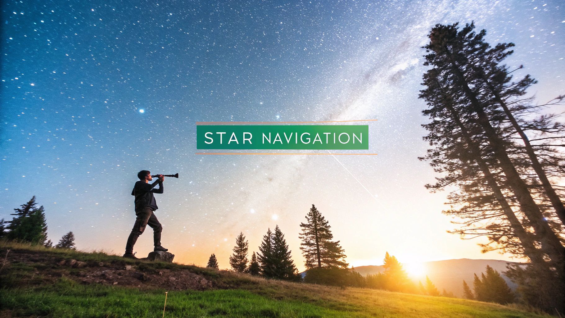
How to Navigate Using Stars for Modern Explorers
Learn how to navigate using stars with real-world techniques. Find north with Polaris and south with the Southern Cross in this practical guide.
Long before we had GPS in our pockets, the stars were humanity's original navigation system. This timeless skill is more than just a historical curiosity; it’s a practical backup for any modern adventurer and a powerful way to connect with the world around us.
On any clear night, the sky offers a reliable, non-electronic map. All you need to do is locate a key celestial marker—like Polaris (the North Star) in the Northern Hemisphere or the Southern Cross down south. From there, you just drop an imaginary line straight down to the horizon to find a cardinal direction. It’s that simple.
Rediscovering the Night Sky for Navigation

Learning to navigate by the stars gives you a powerful sense of self-reliance. Imagine your phone battery dies on a remote trail. Instead of panic, you feel a quiet confidence because the night sky is a constant, predictable guide. Mastering this celestial map sharpens your observation skills and deepens your connection with the natural world.
Why This Ancient Skill Still Matters
Celestial navigation is a testament to human ingenuity. For millennia, it was the only tool mariners and explorers had. The Polynesians, for instance, used the stars, ocean swells, and other natural cues to navigate vast stretches of the Pacific Ocean—sometimes covering distances of 4,000 km.
This method is far from obsolete. Even today, roughly 10% of modern merchant mariners are still tested on it as a critical backup to GPS. It’s a foundational skill that complements a broader understanding of general boating navigation principles for anyone spending time on the water.
This knowledge transforms the night sky from a beautiful backdrop into a functional tool.
The sky is the ultimate map, available to anyone who takes the time to learn its language. Once you understand the basic patterns, you’ll never feel truly lost again.
By learning to read the stars, you're not just picking up a survival skill; you're tapping into an ancient tradition of exploration. It’s about seeing the world with new eyes and appreciating the intricate, predictable dance of the cosmos above. This guide will walk you through the essential techniques to turn that starlight into direction.
Finding North Using Polaris and Key Constellations

If you're in the Northern Hemisphere, your most reliable friend in the night sky is Polaris, the North Star. What makes it so special? It sits almost directly above the Earth’s northern axis, so unlike every other star, it barely moves. Getting a solid grip on celestial navigation starts with pinning down this one crucial point of light.
Many people have heard of using the Big Dipper to find it, but there's a specific technique to get it right every time. Think of this famous group of stars as a giant cosmic signpost.
Using the Big Dipper to Find Polaris
The Big Dipper is probably the most recognizable pattern up there—seven bright stars that look like a massive ladle. To find Polaris, you only need the two stars that form the outer edge of the Dipper's "bowl," the part farthest from the handle.
These pointer stars have names: Merak (the bottom one) and Dubhe (the top one). Now, imagine drawing a straight line from Merak up through Dubhe and keep that line going. If you extend it about five times the distance between those two stars, your eyes will land right on a moderately bright star.
That's Polaris. It’s a common myth that it's the brightest star in the sky—it’s not—but it’s bright enough to spot once you know where to look.
Here’s a quick sanity check: if you think you’ve found Polaris, watch it for a bit. You’ll notice the other stars slowly arcing around it as the Earth turns, but Polaris stays put. It's the anchor of the northern sky, and it's your key to finding true north.
When the Big Dipper is Not Visible
But what if you can't see the Big Dipper? Depending on the season or time of night, it might be hanging too low on the horizon. No problem. The sky has a backup plan for you: Cassiopeia.
Cassiopeia is another easy-to-spot constellation, shaped like a big, stretched-out "W" or "M." It's located on the opposite side of Polaris from the Big Dipper, which means when one is down, the other is up.
Here’s how to use it:
- Spot the 'W': First, find the five bright stars that form that distinct zig-zag shape.
- Zero in on the Center: Look at the middle star of the "W."
- Draw Your Line: From that central star, imagine a line shooting straight up, more or less at a right angle to the general direction of the "W." That line will point you right to the neighborhood of Polaris.
Using these two constellations, you've almost always got a direct line to the North Star. Once you’ve locked onto Polaris, just drop a visual line straight down to the horizon. That point is true north. This is a game-changer, especially when you need to align your direction with features on the ground. Fusing what the stars tell you with what you see around you is an incredible skill, and it gets even better when you learn how to read topographic maps to connect the dots.
Locating South with the Southern Cross
If your adventures take you south of the equator, you'll notice Polaris has vanished below the horizon. Time for a new celestial guide. Meet the Southern Cross, or Crux, the most famous constellation in the southern sky and your key to navigating the Southern Hemisphere.
Finding south is just as reliable as finding north, but the method is a bit different. There’s no single, bright "South Star" to mark the pole for you. Instead, we use the Southern Cross and its neighbors to triangulate an invisible point in the sky—the South Celestial Pole.
Spotting the Real Southern Cross
First things first: you have to be sure you’ve found the right cross. The southern sky likes to play a little trick on newcomers by presenting a "False Cross," which is larger, fainter, and can easily throw you off course.
Here’s how to know you're looking at the genuine article:
- A Compact Kite: The true Southern Cross is made of four brilliant stars forming a tight, slightly tilted kite shape.
- A Faint Fifth Star: Look closely and you might spot Epsilon Crucis, a dimmer star tucked slightly off-center inside the cross. It gives the constellation its unique look.
- The Pointer Stars: This is the dead giveaway. Nearby, you'll see two exceptionally bright stars, Alpha and Beta Centauri. These are the "Pointers," and they always aim toward the true Southern Cross, confirming your find.
The False Cross has no bright Pointers nearby. Once you've confidently ID'd the real Crux and its Pointers, you're ready to find your bearing.
Unlike Polaris, which sits almost stationary, the Southern Cross rotates around the South Celestial Pole. Your job is to use its current orientation, along with the Pointers, to trace your way back to this invisible celestial hub.
Pinpointing the South Celestial Pole
Now for the fun part. This technique involves drawing a couple of imaginary lines in the sky to find where they cross. It sounds a little abstract, but after a few tries, it becomes second nature.
Start with the long axis of the Southern Cross. Imagine a line extending from its top star, through its bottom star, and continuing out into the night. You’ll want to extend this line about 4.5 times the length of the cross itself. Go ahead and hold your finger up to mark that imaginary spot.
Next, find the two Pointer Stars, Alpha and Beta Centauri, and picture a line connecting them. Now, find the midpoint of that line and draw a second, perpendicular line shooting out into the sky, away from the Southern Cross.
The spot where your two imaginary lines intersect—the one from the Cross and the one from the Pointers—is what you're looking for. That’s the South Celestial Pole. Just like with Polaris, drop a vertical line from this point straight down to the horizon.
That direction is true south. It’s an incredibly reliable method that turns the whole southern sky into your personal compass.
Turning Starlight Into a Real Direction
Okay, so you’ve found your guide star. That's a huge win. But how do you turn that tiny dot of light into an actual, usable direction on the ground? This is where the magic of celestial navigation really clicks into place.
It's simpler than you might think. Once you've locked onto Polaris or figured out the South Celestial Pole, just imagine a perfectly straight line dropping from that point directly down to the horizon.
That spot where your imaginary line touches the Earth? That's your cardinal direction—true north or true south. The beauty of this method is its reliability. It completely sidesteps the magnetic interference that can send a compass spinning. You're not aligning with a fickle magnetic field; you're using the planet's own axis of rotation. It doesn't get more fundamental than that.
With that one point fixed, your entire mental map falls into place. If you're facing north, east is on your right, west is on your left, and south is right behind you. You’ve just turned the night sky into a compass you can trust anywhere on Earth.
Estimating Angles With Your Hand
You don't need a sextant or any fancy gear to get started. One of the most practical skills you can learn is measuring angles in the sky with your own hand. This trick is perfect for confirming star distances—like the five-times rule for Polaris—and it can even give you a surprisingly good estimate of your current what are latitude and longitude.
The technique is all about holding your arm out straight and using your hand as a ready-made measuring tool. It works because the ratio of your hand's width to your arm's length is remarkably similar for most people. It's a method that’s been used for centuries for a reason.
Here’s a quick guide to using your hand at arm's length to measure approximate angular distances. It's a core skill for finding stars and getting a rough idea of your latitude.
Estimate Angles in the Sky with Your Hand
| Hand Measurement | Approximate Angle (Degrees) |
|---|---|
| Pinky Finger Width | ~1° |
| Three Middle Fingers | ~5° |
| Closed Fist | ~10° |
| Thumb to Pinky (spread wide) | ~20-25° |
These are old-school navigator tricks that turn your own body into a reliable tool. For instance, if you measure Polaris and find it’s about three fists (30 degrees) above the horizon, you can bet your latitude is pretty close to 30 degrees north.
The infographic below shows how these principles apply in the Southern Hemisphere, using constellations to pinpoint the invisible South Celestial Pole.
It’s a great visual example of how you combine a couple of key star patterns to find a point that’s critical for navigation.
From Sky to Ground
Once you've dropped that line from the sky and found your north or south, pick a landmark out on the horizon—a lone tree, a dip in a ridgeline, anything distinctive. That becomes your anchor point. During the day, you can just walk toward it.
At night, you can use a leapfrogging technique to keep a straight line. Find two objects (like two shrubs or rocks) that line up in your target direction. Walk to the first one. Now, find a new object farther ahead that lines up with the second one. By constantly renewing your forward marker, you can maintain a consistent bearing without having to stare at the sky every five seconds.
This is the heart of celestial navigation: converting a distant star into a tangible path forward. It’s a skill that gives you a true, unshakable sense of direction, no matter where you are.
Improving Accuracy with Simple Tools and Techniques
While your hands are a fantastic starting point for celestial navigation, a few historical tools can take your precision to a whole new level. This is where we bridge the gap between rough, survival-based direction-finding and the art of systematic positioning.
Embedded content
Understanding the principles behind these instruments gives you a much deeper appreciation for how ancient mariners mastered the oceans. It’s a glimpse into the genius of reliable, non-electronic methods that are just as valid today as they were centuries ago.
The Evolution of Navigational Tools
The journey toward precise navigation wasn't a single leap; it was a gradual evolution, marked by key inventions that forever changed exploration.
The mariner’s astrolabe, which came on the scene in the 15th century, was a true game-changer. It allowed sailors to measure the altitude of Polaris or the sun with newfound accuracy, shrinking their latitude errors down to about 20–30 miles. A massive improvement.
Later, the 18th century brought even more remarkable progress with the sextant (invented in 1731) and the first truly dependable marine chronometers. This powerful combination finally cracked the code of determining longitude accurately at sea. By the mid-1800s, a skilled navigator could fix their position with errors typically below 10 nautical miles (18.5 km)—a stunning achievement for the time. You can get a great overview of this transformative period in the history of sea navigation before GPS.
"The sextant does not tell you where you are. It only tells you where you are not. You are somewhere on a circle of position, and you must be on that circle." - Famous Navigator's Axiom
This idea of a "circle of position" is absolutely fundamental. Each celestial measurement you take places you somewhere on a specific line on the globe. By taking multiple readings from different stars, you can find where those lines intersect, revealing your true location with impressive precision.
From Celestial Angles to Earthly Coordinates
So, how does measuring the angle of a star above the horizon actually translate into a position on a map? It all comes down to trigonometry and timing.
A navigator would measure a star's altitude and note the exact time, then consult nautical almanacs to determine their line of position. While the process involves some complex calculations, the core concept is beautifully simple: the sky is a predictable clockwork system. If you know the time and can measure the angles, you can figure out where on Earth you are.
Today, you can explore the relationship between different geographic data points with our handy coordinate converter tool, which makes these kinds of transformations a breeze.
Even if you don't plan on carrying a sextant on your next hike, understanding how these tools work reinforces the core principles of celestial navigation. It proves that with just a few key measurements, the night sky can offer a reliable and stunningly accurate answer to that timeless question: "Where am I?"
Of course. Here is the rewritten section, crafted to sound like a seasoned expert sharing their knowledge in a natural, human-written style.
Common Questions About Navigating With Stars
Once you start trying to navigate by the stars, a ton of "what if" questions are going to pop up. It's totally normal. Gaining real confidence means knowing how to handle the curveballs nature throws at you and understanding the limits of what you can do. Let’s tackle some of the most common questions I get from people just starting out.
What if it's Cloudy?
This is the big one, the most common roadblock you'll hit. What do you do when clouds are hiding your guide stars?
First off, be patient. More often than not, you'll get temporary breaks in the cloud cover. Seriously, a quick five-second glimpse of Polaris or the Southern Cross is all you need to get your bearings again.
If the sky is completely socked in but you can still make out the moon through the haze, you can use it for a rough sense of direction. The two sharp tips of a crescent moon point along a general east-west line. But on a totally overcast night with nothing visible? You're out of luck for celestial methods and will have to fall back on other techniques. It's a great reminder that star navigation is just one tool in your bigger survival toolkit.
Can I Use Stars Other Than Polaris?
Absolutely. While Polaris is the gold standard for finding north, getting fixated on just one star is a rookie mistake. You can navigate using any star you can see moving across the sky.
Here’s a simple and surprisingly effective trick using two sticks:
- Push a short stick into the ground.
- Place a taller stick a few feet behind it.
- Line up the tops of both sticks with any bright star you can easily see.
Now, just wait about 15 minutes. When you look again, you'll see the star has moved. Since stars generally rise in the east and set in the west, that movement gives you a reliable east-west line. From there, you can figure out north and south. Orion is another fantastic guide—his three-star belt always rises due east and sets due west, no matter where you are in the world.
The real skill isn't just memorizing one star. It's learning to read the movement of the entire sky. The sky itself is a giant compass, and once you understand its flow, you can find your way anytime, anywhere.
How Accurate is This Compared to a GPS?
So, how does this old-school method stack up against modern tech? For finding your cardinal directions, star navigation is incredibly accurate. In fact, it's often more reliable than a magnetic compass, which can get thrown off by local magnetic interference and needs adjustments for declination. You can find true north with pinpoint precision.
But when it comes to pinpointing your exact location on a map, a GPS wins hands down, getting you down to a few feet.
Think of it this way: the stars will keep you moving in the right direction, but a GPS will tell you exactly where you're standing. In a survival situation, just knowing which way to go is often the most important thing you need.
Ready to explore the world in a whole new way? EarthChasers combines the thrill of gaming with the wonder of geography. Discover new landscapes, take on exciting challenges, and deepen your understanding of the planet. Start your adventure today at https://earthchasers.com.