The 12 Best Sources for Maps of Spanish Speaking Countries in 2025
Explore our curated list of the top 12 resources for maps of Spanish speaking countries. Find printable, interactive, and historical maps for any project.
Navigating the vast and diverse Spanish-speaking world requires more than just a basic understanding of geography; it demands detailed, accurate, and context-rich maps. Whether you're a geography enthusiast preparing for a trivia night, a student seeking classroom resources, or a gamer plotting your next move in an EarthChasers challenge, finding the right map is crucial. A simple search for maps of Spanish speaking countries yields countless results, but sifting through them to find high-quality, reliable sources can be a time-consuming task. This guide solves that problem by curating a definitive list of the best platforms for political, physical, and thematic maps.
We've analyzed top-tier resources, from the interactive layers of Esri's ArcGIS Living Atlas to the historical archives of the Library of Congress and the specialized prints from The Map Shop. Each entry in this listicle includes a direct link, a screenshot for a quick preview, and practical tips on how to best use the resource for your specific needs. Our goal is to help you quickly identify the ideal tool, whether you need a printable map of South America for a classroom or a detailed language distribution map of Spain for a research project.
Beyond geographical knowledge, understanding the culture and language can greatly enrich your journey. For those looking to connect deeper, you might explore engaging Spanish stories on Lenguia. This curated collection will equip you with the best cartographic tools to explore the Hispanic world with confidence and precision.
1. EarthChasers
Best for Interactive 3D Exploration and Gameplay
EarthChasers earns its top position by transforming how users interact with world geography. It moves beyond static images, offering an immersive, photorealistic 3D platform built on Google Maps. This allows for an unparalleled level of detail when exploring the diverse landscapes of Spanish-speaking countries, from the Andes mountain range in Peru to the urban centers of Madrid or Mexico City. Its unique blend of high-fidelity exploration and engaging gameplay makes it an exceptional resource for learners, educators, and geography enthusiasts.
The platform excels in providing context. Instead of just viewing a political map, you can virtually fly through the streets of Buenos Aires or examine the topography of Costa Rica's rainforests. This hands-on experience is perfect for EarthChasers challenges, where identifying a location in a Spanish-speaking region requires recognizing not just landmarks but also cultural and geographical nuances. The free, unlimited gameplay in modes like Cities and Countries provides an addictive way to solidify your knowledge.
Its core strength lies in its ability to turn passive map-viewing into an active, memorable discovery process. The realism of the 3D visuals makes geographical features tangible and easier to remember.
Furthermore, EarthChasers includes a suite of professional-grade mapping utilities like an Elevation Finder and Line of Sight Calculator, accessible without an account. These tools are invaluable for deeper analysis, whether for a classroom project on Spanish colonial city planning or for personal exploration.
- Key Features: Photorealistic 3D exploration, geography-based game modes (Daily Hunt, Cities), community-created maps, free mapping tools.
- Access: Core platform and tools are free with unlimited use. A Pro tier is available for advanced features, though pricing is not listed on the site.
- Pros: Stunning, realistic visuals; combines education with engaging gameplay; powerful, free tools for all users.
- Cons: Performance is dependent on internet speed; Pro upgrade cost and value are unclear.
Website: https://earthchasers.com
2. National Geographic Maps
For those seeking high-quality physical or digital maps for display or offline use, National Geographic Maps is an authoritative source. It stands out for its legendary cartographic quality, offering detailed and beautifully designed maps ideal for classrooms, offices, or home study areas. Their collection provides excellent coverage of Spain and the Iberian Peninsula, along with several key regions in Latin America.
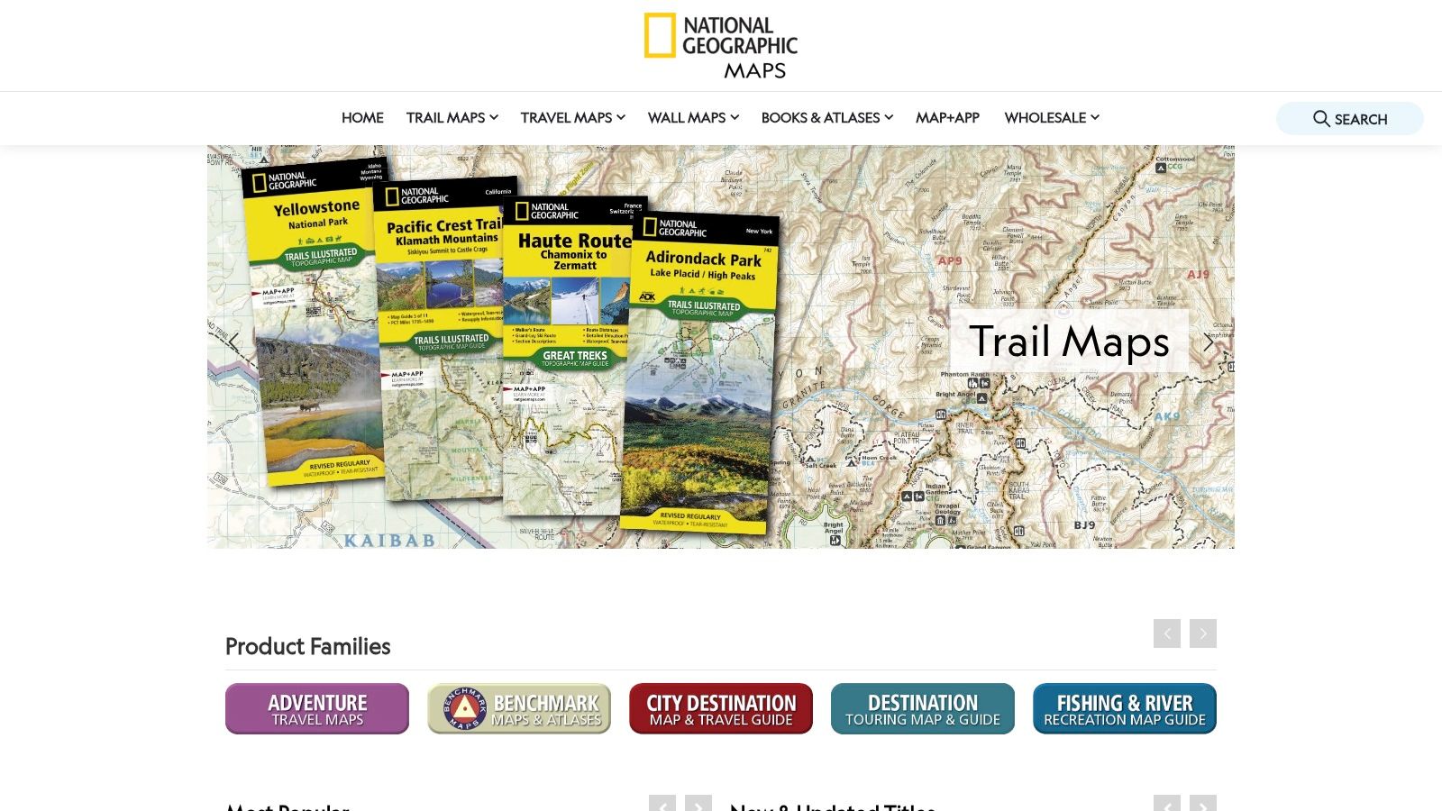
These are not simple online viewers; National Geographic sells premium products. You can purchase robust, laminated wall maps or digital downloads compatible with the Avenza Maps app for offline GPS use on mobile devices. This dual offering makes it a versatile choice for both academic and practical, in-the-field applications.
Key Features & Use Cases
- EarthChasers Challenge Tip: Use a physical wall map of Central America to manually plot a route for a "Pan-American Highway" challenge, helping you visualize elevation changes and border crossings.
- Quality and Detail: The maps feature detailed shaded relief, extensive place-name indexes, and critical infrastructure like roads, railways, and national parks.
- Pricing: Wall maps are competitively priced, typically ranging from $20 to $30, making them an accessible option for high-quality printed resources.
- Limitations: While its Iberian coverage is superb, the selection of individual maps of Spanish-speaking countries in Latin America can be limited. You may need to look elsewhere for specific nations not featured.
Website: https://www.natgeomaps.com
3. Amazon
For the sheer breadth of selection and competitive pricing, Amazon serves as the ultimate marketplace for physical maps. It aggregates offerings from countless publishers like Maps International, Swiftmaps, and National Geographic, making it a convenient one-stop shop for everything from detailed wall maps and classroom posters to comprehensive atlases. The platform excels at providing a massive variety of formats, including laminated, framed, and peel-and-stick options.
The primary advantage of Amazon is its ecosystem. Features like fast Prime shipping, easy returns, and extensive customer reviews are invaluable for vetting the quality of a map before purchase. This feedback system helps you avoid poor-quality prints and ensures you get a product that meets your needs, whether it's for educational purposes or purely decorative.
Key Features & Use Cases
- EarthChasers Challenge Tip: Order a large, laminated wall map of South America. Use dry-erase markers to trace your team's progress through different biomes, from the Atacama Desert to the Amazon rainforest, adding notes on local Spanish dialects.
- Massive Variety: The platform offers an unparalleled selection of maps of Spanish-speaking countries in numerous styles, sizes, and finishes from dozens of publishers.
- Pricing: Prices are highly competitive, with frequent sales and options available for every budget, from inexpensive posters to high-end framed art.
- Limitations: Quality can be inconsistent across different sellers. It is crucial to read recent reviews and check seller ratings carefully, as product descriptions can sometimes be generic or vary by vendor.
Website: https://www.amazon.com
4. Maps.com (MAD Maps / MapGeek)
For educators and parents in the U.S., Maps.com is a go-to retailer for classroom-oriented physical maps. It stands out by offering durable, laminated wall maps of key Spanish-speaking regions like Latin America, Mexico, and Central America, designed specifically for educational environments. The publisher also operates through other storefronts like MAD Maps and MapGeek, broadening availability.
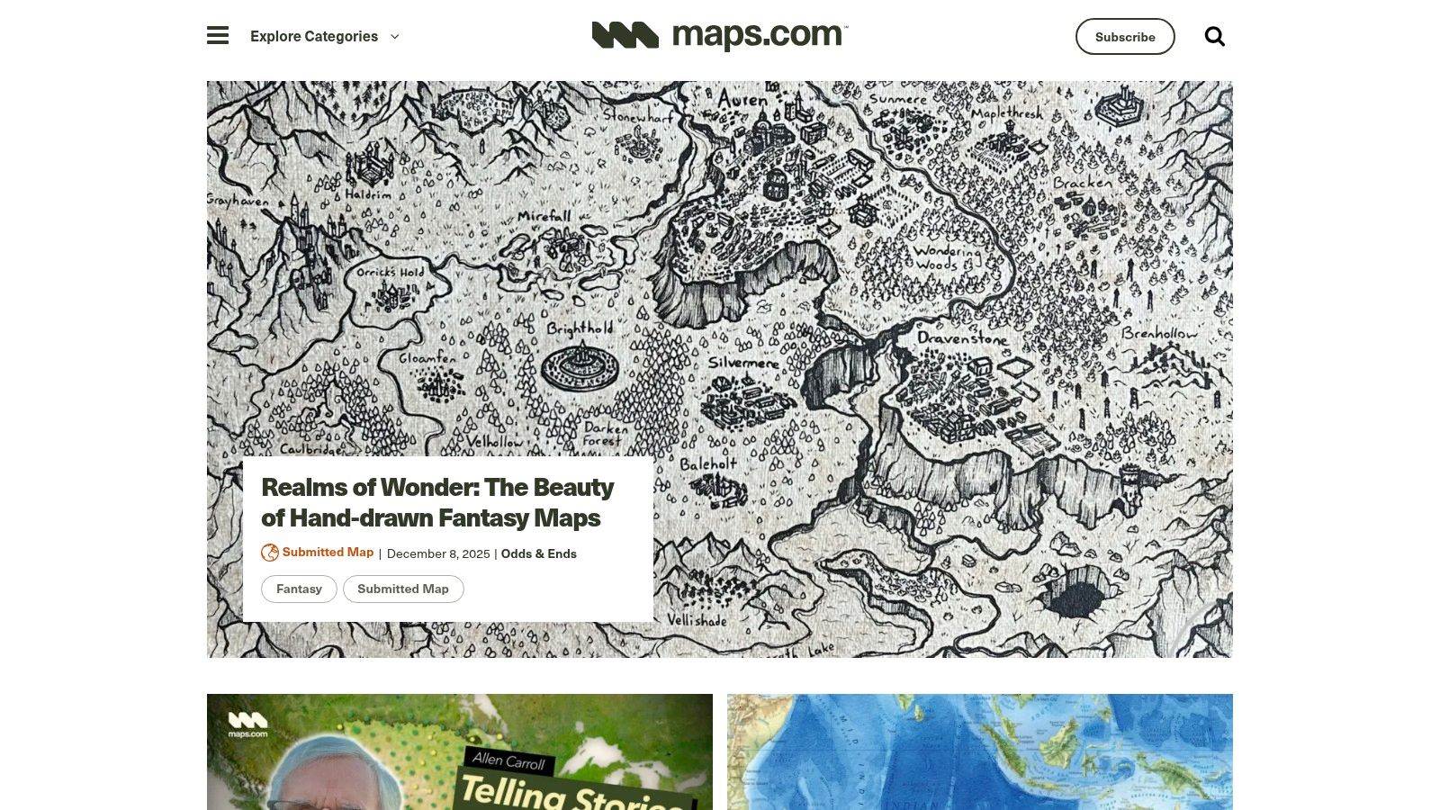
This platform simplifies the process of acquiring high-quality teaching aids with easy U.S. ordering and classroom-ready finishes. Alongside its cartographic products, Maps.com provides an educational content hub with resources and map explainers, making it a valuable tool for teachers looking to integrate geography into their lesson plans.
Key Features & Use Cases
- EarthChasers Challenge Tip: Order a large, laminated map of South America. Use dry-erase markers to trace potential travel routes, mark key cities, and note geographical barriers, making the challenge interactive and visual.
- Classroom-Friendly: The maps are designed for durability with clear scales and lamination, perfect for repeated use in a school setting.
- Educational Hub: The site offers more than just products; its educational resources can help teachers build lesson plans around the maps of Spanish-speaking countries they purchase.
- Limitations: Be sure to check the product details, as Spanish-language labels are not standard on all maps. The selection may also lack specialized topographic or official national map sheets for certain countries.
Website: https://www.maps.com
5. OmniMap
For researchers, hikers, and serious cartography enthusiasts needing highly detailed and technical maps, OmniMap is a specialist retailer with an exceptionally deep catalog. The platform excels in providing official topographic sheets, particularly for Spain, from agencies like the Centro Nacional de Información Geográfica (CNIG). It's the go-to source when a standard political map won't suffice and you need granular detail for specific regions.
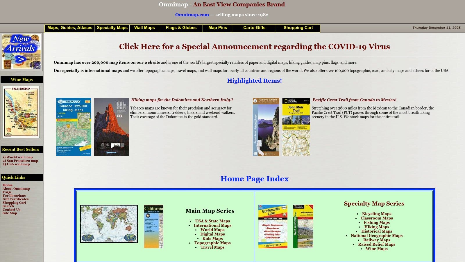
Unlike general map providers, OmniMap functions as a comprehensive distributor, offering products from various international publishers. This provides a one-stop shop for everything from provincial wall maps of Spanish regions to specialized hiking maps for the Andes. Its clear indexing and scale information are invaluable for selecting the precise map sheet required for technical applications.
Key Features & Use Cases
- EarthChasers Challenge Tip: Planning a challenge in Spain’s Picos de Europa? Use OmniMap to acquire the official 1:25,000 CNIG topographic sheets to understand the terrain, trails, and elevation in extreme detail.
- Technical Specificity: Access to official topographic series (e.g., 1:25,000 and 1:50,000 scales) provides unmatched detail for fieldwork, academic research, or advanced route planning.
- Pricing: Prices vary significantly based on the map's publisher and specificity. Be prepared for higher costs for imported or highly technical sheets, plus shipping.
- Limitations: The user interface is more functional than user-friendly, geared toward those who know what they're looking for. Some maps of Spanish-speaking countries, especially niche topographic sheets, are special-order items and may have long delivery times.
Website: https://www.omnimap.com
6. Rand McNally (Rand Publishing / World Atlas)
For educators and students, Rand McNally’s educational division, Rand Publishing, offers a curriculum-focused approach. It stands out by providing standards-aligned classroom materials, including its renowned printed atlases and a subscription-based online World Atlas, making it an excellent resource for structured learning about the geography of the Spanish-speaking world.
Unlike consumer map stores, Rand McNally’s focus is on K-12 education. Their Atlas of World Geography is a staple in many classrooms, offering clear political and physical maps. The digital platform complements this by providing thematic layers and tools designed for interactive teaching, moving beyond simple static images.
Key Features & Use Cases
- EarthChasers Challenge Tip: Use the Atlas of World Geography to identify major river systems in South America. Then, challenge yourself to name the primary Spanish-speaking country each river flows through.
- Educational Alignment: Materials are designed for grades 6–12, aligning with U.S. curriculum standards for social studies and geography.
- Pricing: The online World Atlas is subscription-based for schools. Printed atlases are available for individual purchase, typically through educational suppliers.
- Limitations: The most dynamic online tools are behind a subscription paywall, and the site isn't designed for purchasing individual wall maps of Spanish-speaking countries. For project work, you can explore using a blank map of the Americas as a complementary tool.
Website: https://randpublishing.com
7. Esri ArcGIS Living Atlas / ArcGIS Online
For those who need to create custom, data-rich maps, Esri's ArcGIS Living Atlas is the definitive professional-grade resource. This platform provides access to a vast, curated collection of authoritative global geographic data layers. It excels in offering frequently updated basemaps, demographic information, and precise boundaries for Spain and nearly all Latin American countries, making it ideal for in-depth analysis and creating specialized visualizations.
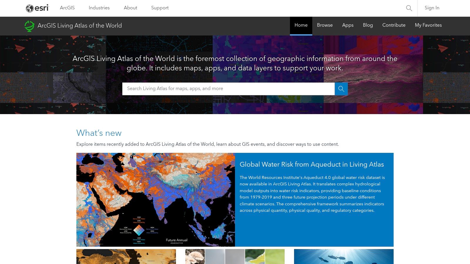
Unlike static map viewers, ArcGIS Online is a dynamic environment where users can layer different datasets, perform spatial analysis, and export high-resolution printable outputs. Its basemaps are localized, providing Spanish-language labels and regional formatting, which is crucial for authentic and accurate representations. For a deeper dive into creating your own maps, check out our guide on using a custom map creator.
Key Features & Use Cases
- EarthChasers Challenge Tip: Create a custom map of South America, adding a layer that shows population density. Use this to plan a "Cultural Capitals" challenge, focusing your route on the most populous urban centers.
- Customization: Offers unparalleled ability to combine different data layers, from infrastructure and terrain to socio-economic statistics, for truly unique maps of Spanish-speaking countries.
- Pricing: Basic access is available with a free ArcGIS public account, but full functionality and access to premium datasets require a paid subscription.
- Limitations: The platform has a steep learning curve and may be overkill for users who just need a simple, ready-made map. Full access can also be costly for individual users.
Website: https://livingatlas.arcgis.com
8. Library of Congress Maps
For researchers, historians, and educators seeking unparalleled historical depth, the Library of Congress digital map collection is an extraordinary, free resource. It offers access to thousands of high-resolution historical maps of Spain and Latin America, including fascinating digitized sheets from the CIA and the U.S. Army Map Service. This collection is not for finding a current road map; it's a digital archive for exploring the past through cartography.
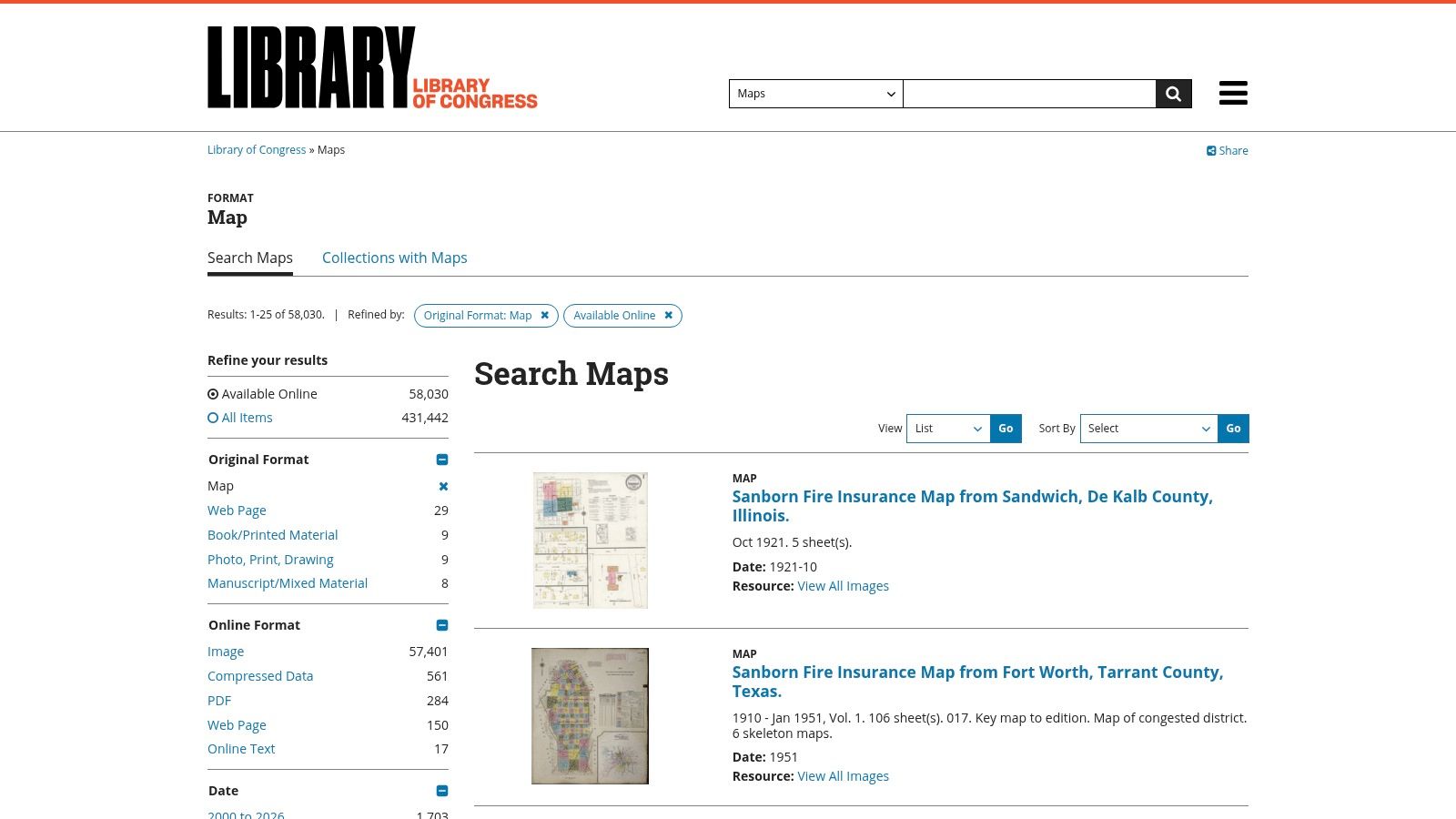
The platform stands out by providing public domain or permissively licensed materials, allowing users to download and print stunningly detailed scans for academic or personal projects. Each item is accompanied by extensive metadata, providing crucial context about its creation and historical significance, making it an invaluable tool for deep-dive studies into the evolution of maps of Spanish-speaking countries.
Key Features & Use Cases
- EarthChasers Challenge Tip: Find a 19th-century map of Mexico to understand the historical context of a region you're virtually exploring. Note how city names, borders, and infrastructure have changed over time.
- High-Resolution Downloads: All maps are available as free, high-resolution downloads, perfect for creating high-quality prints for classroom displays or research presentations.
- Pricing: Access and downloads are completely free. Users are responsible for their own printing costs.
- Limitations: The collection's strength is its historical focus. Users needing maps with modern political boundaries, up-to-date infrastructure, or interactive features will need to look elsewhere.
Website: https://www.loc.gov/maps/
9. David Rumsey Map Collection
For those interested in historical geography, the David Rumsey Map Collection offers an unparalleled free online archive. This massive digital library features over 143,000 high-resolution historical maps, including extensive coverage of Spain, colonial Latin America, and the broader Spanish-speaking world. It stands out by providing museum-grade cartographic resources with powerful digital tools for exploration and analysis.
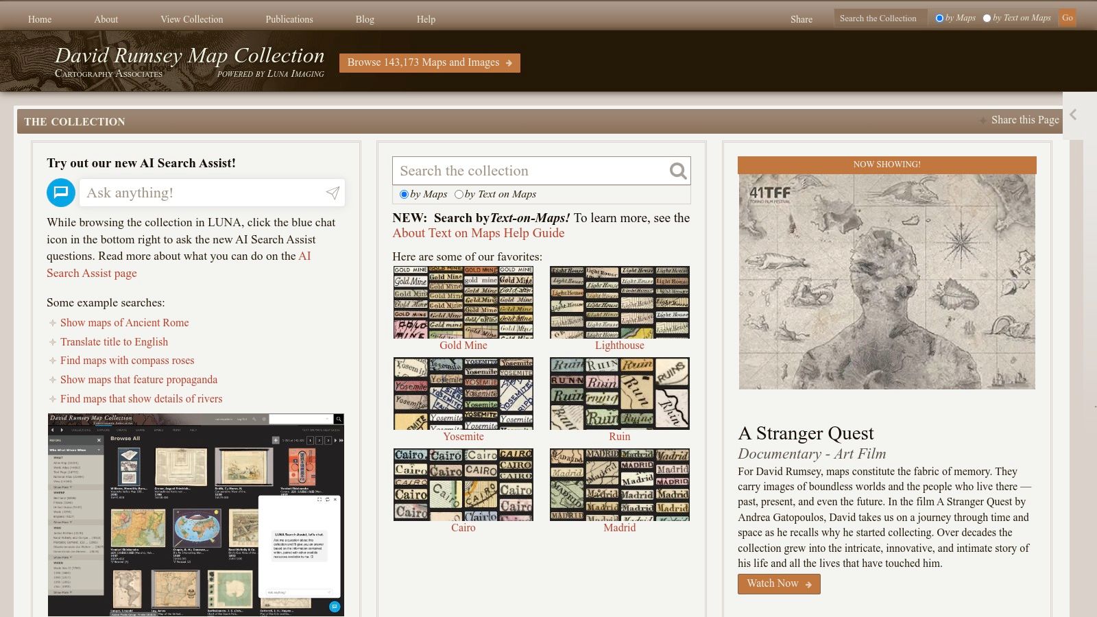
The platform's strength lies in its sophisticated online viewer, which allows for deep zooming and comparison with modern maps. Users can download images for free for personal or educational use, and the site even offers georeferencing tools for GIS applications. While the primary collection is digital, there is an option to purchase fine-art prints of selected maps.
Key Features & Use Cases
- EarthChasers Challenge Tip: Find a 17th-century map of the Spanish Main to plan a historical "Treasure Fleet" challenge, identifying key colonial ports and historical trade routes.
- Historical Context: The collection is an exceptional resource for understanding how borders, city names, and territories have evolved over centuries in maps of Spanish-speaking countries.
- Pricing: Online access, viewing, and standard-resolution downloads are completely free. High-quality, museum-grade prints are available as optional paid purchases.
- Limitations: The collection is historical by nature, so it is not suitable for finding modern political boundaries, current road networks, or contemporary place names.
Website: https://www.davidrumsey.com
10. Centro Nacional de Información Geográfica (CNIG)
For the most authoritative and detailed cartographic resources specifically for Spain, the Centro Nacional de Información Geográfica (CNIG) is the definitive source. As Spain's official national mapping agency, it provides everything from large-format wall maps to highly technical topographic series and free geographic datasets. It is the gold standard for anyone needing professional-grade maps of the Iberian Peninsula, the Balearic Islands, or the Canary Islands.
The CNIG stands out for its "Mapa a la Carta" (Map on Demand) service, allowing users to select a specific area, scale, and format to create a custom-printed map. This is perfect for detailed regional studies or planning specific travel routes. While the site is primarily in Spanish, its vast collection of official data is unparalleled for academic, professional, or recreational use focused on Spain.
Key Features & Use Cases
- EarthChasers Challenge Tip: Use the free downloadable topographic data (MTN25 series) to plan a virtual trek through the Picos de Europa, calculating elevation gain and identifying key landmarks for your challenge. For tips on working with this type of data, you can learn more about how to create custom maps.
- Official Cartography: Access the official topographic map series (MTN25 and MTN50), provincial maps, and national park maps directly from the source.
- Pricing: Many digital datasets are free, while printed maps and custom prints are sold at standard government agency prices. International shipping is available.
- Limitations: The scope is limited exclusively to Spain. The website and map legends are in Spanish, which may present a language barrier for non-speakers.
11. eBay
For those seeking unique, historical, or decorative maps, the global marketplace of eBay is an unexpectedly rich resource. It stands out not for digital tools but for its vast collection of physical maps from sellers worldwide. You can find everything from 19th-century antique charts of New Spain to vintage school pull-down maps of South America, offering a tangible connection to the history and cartography of the Spanish-speaking world.
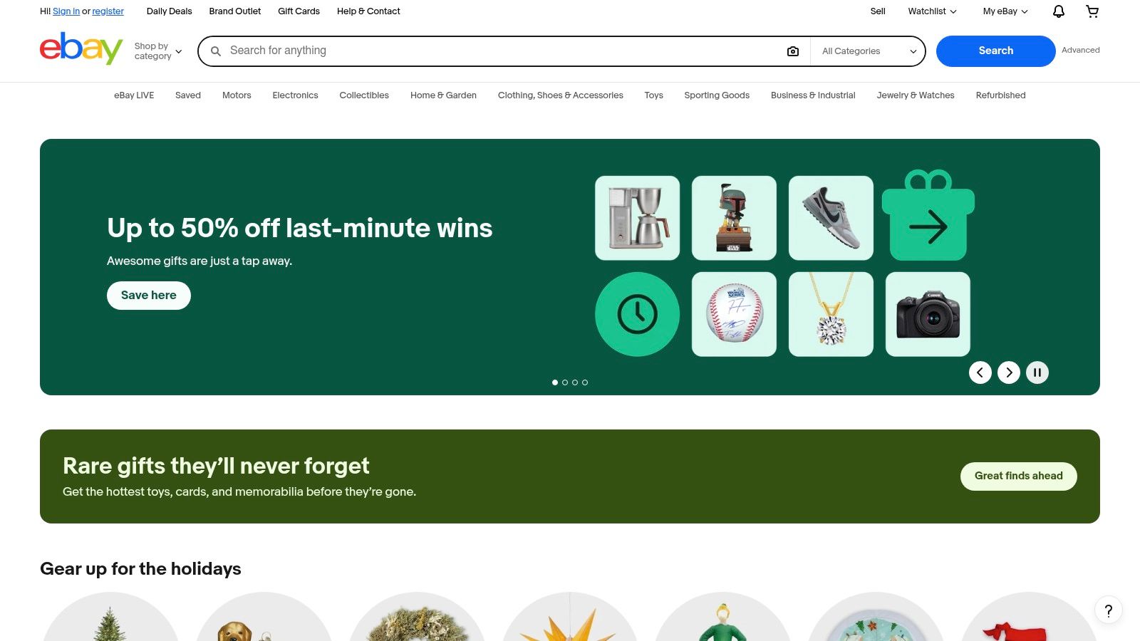
The platform operates through both auctions and "Buy It Now" listings, allowing you to either bid on rare items or purchase them directly. The key is careful vetting of sellers and listings. Pay close attention to seller ratings, detailed descriptions, and high-resolution photos to ensure the map's condition and authenticity meet your expectations.
Key Features & Use Cases
- EarthChasers Challenge Tip: Acquire a vintage topographical map of the Andes to use as a physical prop and reference for a "Lost City of Gold" expedition challenge, adding an authentic, old-world feel.
- Vast Selection: Find rare, out-of-print, and decorative maps of Spanish-speaking countries that are unavailable through modern publishers.
- Buyer Protection: eBay's Money Back Guarantee provides a strong safety net, protecting you if an item doesn't arrive or isn't as described in the listing.
- Limitations: Quality and condition are highly variable. You must rely on the seller's accuracy, so scrutinizing listing details, including scale, edition, and any noted damage, is crucial before purchasing.
Website: https://www.ebay.com
12. The Map Shop
For educators, businesses, or enthusiasts in the U.S. seeking ready-to-hang physical maps, The Map Shop is a go-to retailer. Its key advantage is the print-on-demand service combined with extensive finishing options, allowing you to order a map of Spain or South America and have it arrive laminated, mounted, framed, or on a roller. This one-stop-shop convenience is perfect for classroom or office decor.
The large catalog ensures good coverage of world, continental, and country maps, and the print-on-demand model means availability is never an issue. Fast U.S. fulfillment and quantity discounts make it an efficient choice for institutional buyers who need a specific size and finish without the hassle of a custom print shop.
Key Features & Use Cases
- EarthChasers Challenge Tip: Order a large, laminated wall map of South America. Use dry-erase markers to track your team's progress, mark key geographical features, or brainstorm routes for a virtual "Andean Adventure" challenge.
- Ready-to-Hang Convenience: The main draw is the variety of finishing options, including framing, mounting, and rails, delivering a polished product ready for display.
- Pricing: Costs vary significantly based on size and the chosen finish, from affordable posters to more expensive custom-framed pieces.
- Limitations: While great for national-level maps of Spanish-speaking countries, finding highly specialized regional or provincial maps (like those for specific Spanish provinces) may require looking at sources like CNIG or OmniMap.
Website: https://www.mapshop.com
Maps for Spanish-Speaking Countries — 12-Resource Comparison
| Product | Core features & unique selling points ✨ | Quality ★ | Price / Value 💰 | Target audience 👥 |
|---|---|---|---|---|
| EarthChasers 🏆 | Immersive Google Maps photorealistic 3D + game modes (Daily Hunt, leaderboards) + free tools (Elevation, LOS, ZIP) ✨ | ★★★★☆ | 💰 Free core, Pro tier for advanced features (pricing undisclosed) | 👥 Teachers, geography enthusiasts, casual gamers |
| National Geographic Maps | Trusted cartography, laminated wall maps + optional Avenza digital downloads ✨ | ★★★★☆ | 💰 Mid-range for physical maps; optional digital fee | 👥 Classrooms, offices, educators |
| Amazon | Biggest selection (multiple publishers & formats), fast shipping, buyer reviews ✨ | ★★★ | 💰 Competitive deals; quality varies by seller | 👥 General shoppers, bargain seekers |
| Maps.com (MAD/MapGeek) | Classroom‑oriented laminated regional maps + teacher resources ✨ | ★★★★ | 💰 School-friendly pricing; quantity discounts | 👥 Schools, teachers |
| OmniMap | Deep catalog for Spain & technical topo (CNIG sheets), clear scale/index info ✨ | ★★★★★ | 💰 Higher for specialty/topo; some special‑order lead times | 👥 GIS pros, hikers, technical users |
| Rand McNally | Printed atlases + subscription World Atlas (curriculum-aligned) ✨ | ★★★★ | 💰 Print affordable; online atlas behind subscription | 👥 K–12 educators, curriculum planners |
| Esri ArcGIS Living Atlas | Authoritative, regularly updated basemaps & data layers; Spanish localization ✨ | ★★★★★ | 💰 Enterprise/subscription for full access; some free layers | 👥 GIS analysts, enterprises, researchers |
| Library of Congress Maps | Free high‑res historical maps & metadata (public domain options) ✨ | ★★★★★ | 💰 Free downloads; self‑print or third‑party print costs | 👥 Historians, researchers, educators |
| David Rumsey Map Collection | Massive historical map archive + viewer, download & georeference tools ✨ | ★★★★★ | 💰 Free online; optional paid fine‑art prints | 👥 Historians, educators, collectors |
| CNIG (Spain) | Official national cartography, topo series, 'Mapa a la Carta' prints & open datasets ✨ | ★★★★★ | 💰 Many free datasets; paid prints/International shipping | 👥 Professional cartographers, researchers |
| eBay | Marketplace for vintage/rare maps; auctions & Buy‑It‑Now listings ✨ | ★★★ | 💰 Potential bargains; condition/quality varies | 👥 Collectors, decorators, rare‑map hunters |
| The Map Shop | Print‑on‑demand wall maps with framing/finishing; fast U.S. fulfillment ✨ | ★★★★ | 💰 Varies by size/finish; convenient finishing services | 👥 U.S. classrooms, offices, decorators |
Choosing the Right Map for Your Journey
Navigating the vast and varied world of cartography can be as complex as exploring the diverse landscapes of the Spanish-speaking world itself. As we've journeyed through this curated collection, from the interactive digital frontiers of Esri ArcGIS to the historical treasures in the Library of Congress, a clear picture emerges: the perfect map is not a one-size-fits-all solution. Your ideal resource depends entirely on your specific mission, whether you're a student preparing for a geography exam, a traveler planning an immersive cultural trip, or an EarthChasers competitor seeking a competitive edge.
The key takeaway is to align the tool with the task. For tactile, hands-on learning and classroom settings, nothing replaces the detail and durability of a large-format physical map from a trusted source like National Geographic or Rand McNally. Conversely, for dynamic data exploration and understanding contemporary socio-economic patterns, the rich, layered datasets within ArcGIS Living Atlas are unparalleled.
A Framework for Your Selection
When selecting from the diverse maps of Spanish speaking countries available, your choice should be a strategic one. Consider these final guiding principles to ensure you find the perfect fit for your specific needs and goals:
- Purpose Defines the Product: Are you decorating a wall, planning a logistical route, or studying linguistic drift? A vintage political map from the David Rumsey Map Collection serves a different purpose than a printable, up-to-date classroom map from The Map Shop. Clearly define your objective first.
- Digital vs. Physical: Digital maps like those from CNIG or ArcGIS offer interactivity, layers, and real-time data, which is ideal for in-depth research and dynamic challenges. Physical maps from retailers like Amazon or Maps.com provide a tangible, screen-free reference point that aids in spatial memory and macro-level understanding.
- Source and Specialty: A generalist retailer might offer convenience, but specialized vendors often provide superior quality and niche products. For authoritative geographic information on Spain, the CNIG is the definitive source. For a broad but high-quality selection of world maps, OmniMap is a specialist worth exploring.
Integrating Maps into Your Strategy
Ultimately, these maps are more than just static images or data points; they are tools for understanding, exploration, and discovery. The most effective approach often involves a synthesis of multiple resources. You might use an interactive map to pinpoint a location for an EarthChasers challenge and then reference a detailed physical map to understand the surrounding topography and infrastructure. This multi-tool strategy creates a more holistic and robust geographic awareness.
By carefully considering your unique objectives and a map's inherent strengths and limitations, you transform a simple search into a powerful act of discovery. The right map does not just show you the world; it provides a new lens through which to see it, unlocking a deeper appreciation for the vibrant cultures and intricate landscapes of the Spanish-speaking nations. Your next great adventure, whether in a game or in the real world, begins with choosing the right chart for the course.
Ready to put your geographic knowledge to the ultimate test? EarthChasers transforms these static maps into a dynamic global scavenger hunt, where your ability to interpret and navigate the world's terrain is your greatest asset. Use the resources in this guide to hone your skills and then join a global community of explorers at EarthChasers to start your adventure.