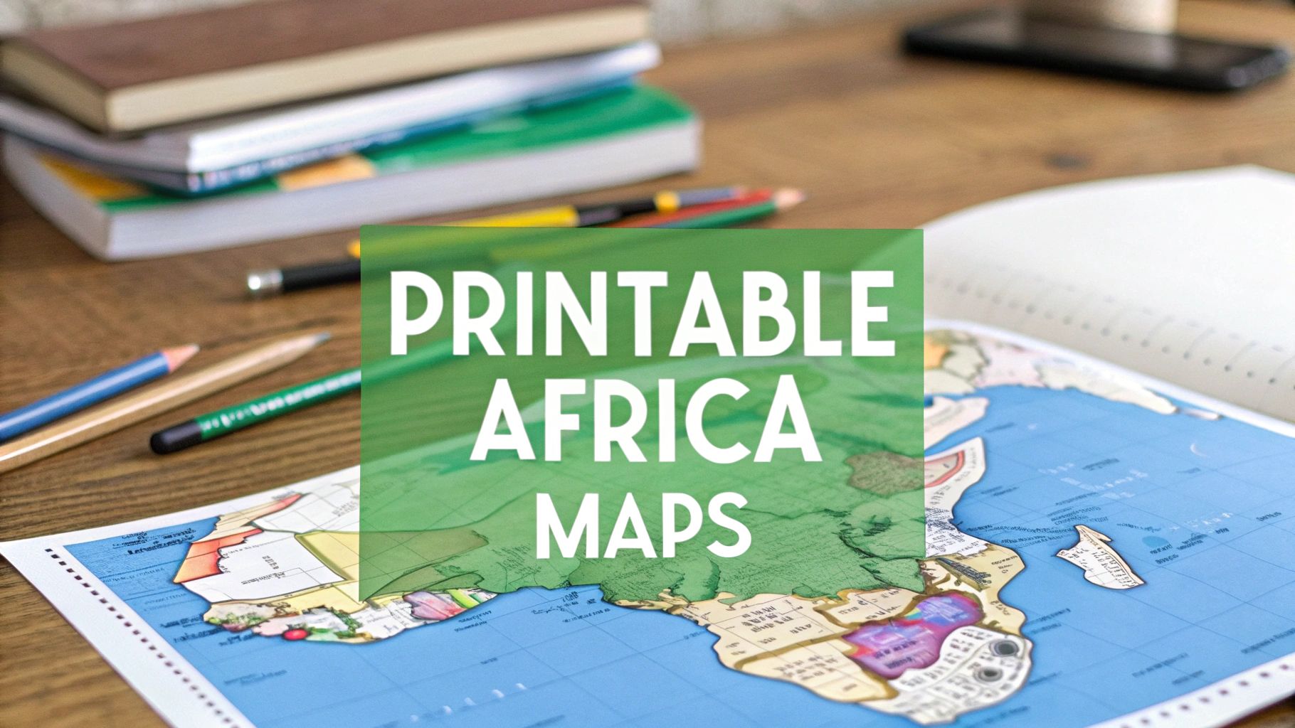
12 Best Printable Africa Map Resources for 2025
Find the perfect printable Africa map for any project. We review 12 top free & paid resources for classrooms, design, and geography games.
Whether you're a teacher preparing a geography lesson, a student studying for an exam, or a trivia enthusiast gearing up for a challenge, a high-quality printable Africa map is an indispensable resource. The challenge isn't a lack of options, but rather navigating the vast number of websites to find the specific map that meets your needs. The ideal map for a first-grade coloring activity is vastly different from the high-resolution political map required for a detailed academic project or the blank outline needed for a quiz.
This guide eliminates the guesswork. We have curated and reviewed the 12 best online destinations to find and download the perfect printable Africa map. We cover everything from free, instantly downloadable PDFs to professionally designed vector files and large-format printed posters. For each resource, we provide a clear analysis, screenshots, and direct links to help you make a quick and informed decision.
Our focus is on practical application. We explore specific use cases for each map type, whether you're creating educational worksheets, designing a custom travel itinerary, or supplementing a geography game like EarthChasers. We'll examine the strengths and limitations of each platform, covering file formats, print quality considerations, and licensing details. Forget endless searching; this comprehensive list is your direct route to finding the exact map you need, ready for printing. We’ll show you where to find everything from a simple blank outline of the continent to a detailed topographic chart or a customizable political map showing all 54 countries and their capitals.
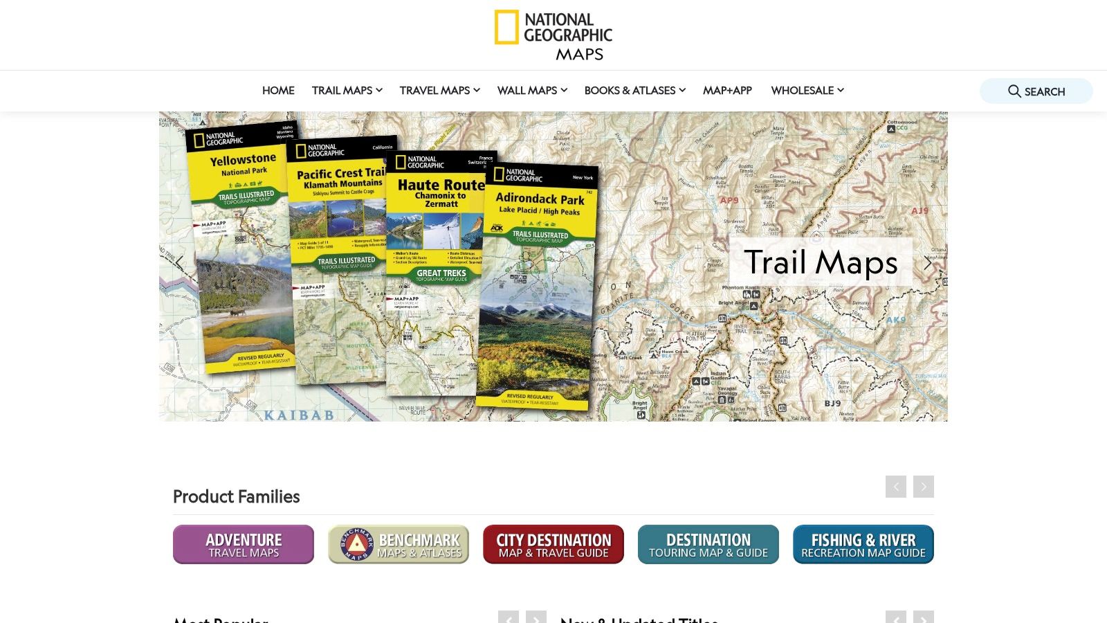
1. National Geographic Maps (store)
For those seeking an authoritative, high-quality physical map of Africa, the official National Geographic Maps store is the premium choice. Instead of offering a simple "printable africa map" file, this platform provides professionally printed wall maps that are ideal for classroom displays, office decor, or detailed study. The cartography is museum-quality, featuring clear political boundaries, extensive labeling of cities and geographical features, and beautiful shaded relief to indicate topography. This option is best suited for users who prioritize durability and cartographic accuracy over a free, instant download.
Key Features and Use Cases
The primary advantage of National Geographic maps is their professional finish and reliability. They are not intended for quick printing but rather as a long-term reference tool.
- Finishes Available: You can order the Africa map in standard paper or a durable laminated format, which is perfect for classroom use with dry-erase markers.
- Use Case - Education: An excellent resource for geography teachers who need a large, clear, and accurate map for the wall. The lamination allows for interactive lessons.
- Use Case - Display: Its aesthetic quality makes it suitable for office or home display for geography enthusiasts or anyone with a connection to the continent.
A significant limitation is the lack of a direct printable file. While they offer a digital version, it is sold separately and is only accessible through the Avenza Maps app. This means you cannot download a PDF to print yourself. This platform is strictly for ordering a physical, shipped product.
| Feature | Details |
|---|---|
| Map Type | Shipped physical wall map (political with physical relief) |
| Printability | Not a printable file. You order a pre-printed map. |
| Primary Advantage | Authoritative, museum-quality cartography and durable materials. |
| Cost | Premium pricing; more expensive than generic posters or free downloads. |
| Digital Option | Available only through the Avenza Maps app (separate purchase), not as a standalone printable file. |
| Best For | Educators, researchers, offices, and enthusiasts needing a high-quality, long-lasting physical map for display and reference. |
Website: https://www.natgeomaps.com/
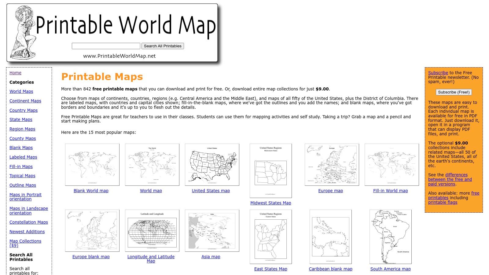
2. PrintableWorldMap.net (FreePrintable network by Savetz Publishing)
For users needing a fast and free printable Africa map with no strings attached, PrintableWorldMap.net is a top-tier resource. Part of the FreePrintable network by Savetz Publishing, this site focuses on delivering simple, easy-to-access PDF maps perfect for immediate educational or personal use. The platform provides a straightforward experience: you find the map you need, click the print button, and receive an instant PDF download. This zero-friction approach makes it ideal for teachers, students, and homeschoolers who require a map for a same-day lesson or activity.
Key Features and Use Cases
The primary strength of PrintableWorldMap.net is its simplicity and cost-free accessibility. The maps are designed for standard letter-size paper, making them convenient for any home or school printer without needing special settings.
- Map Variants: The site offers both a labeled version with countries and capitals and a completely blank outline map. This variety serves different educational purposes, from reference to testing.
- Use Case - Classroom Handouts: A teacher can instantly download and print dozens of blank Africa maps for a geography quiz or a labeling exercise.
- Use Case - Homeschooling: The labeled map is an excellent visual aid for introducing the continent, while the blank version can be used for coloring or tracing activities.
A key limitation is the lack of cartographic detail and customization. The maps are static PDFs with basic political boundaries and are not suitable for in-depth geographical analysis. While individual maps are free, the site offers optional, low-cost collection packs for users who want to download many world maps at once.
| Feature | Details |
|---|---|
| Map Type | Labeled political and blank outline maps in PDF format. |
| Printability | Instant PDF download. Optimized for standard letter-size paper. |
| Primary Advantage | Completely free and immediate access with no account or email required. |
| Cost | Free for individual map downloads. Optional low-cost bundles available. |
| Digital Option | The core product is a printable PDF. No interactive or editable files. |
| Best For | Educators, students, and parents needing quick, no-cost maps for classroom activities, homework, or simple reference. |
Website: https://www.printableworldmap.net/
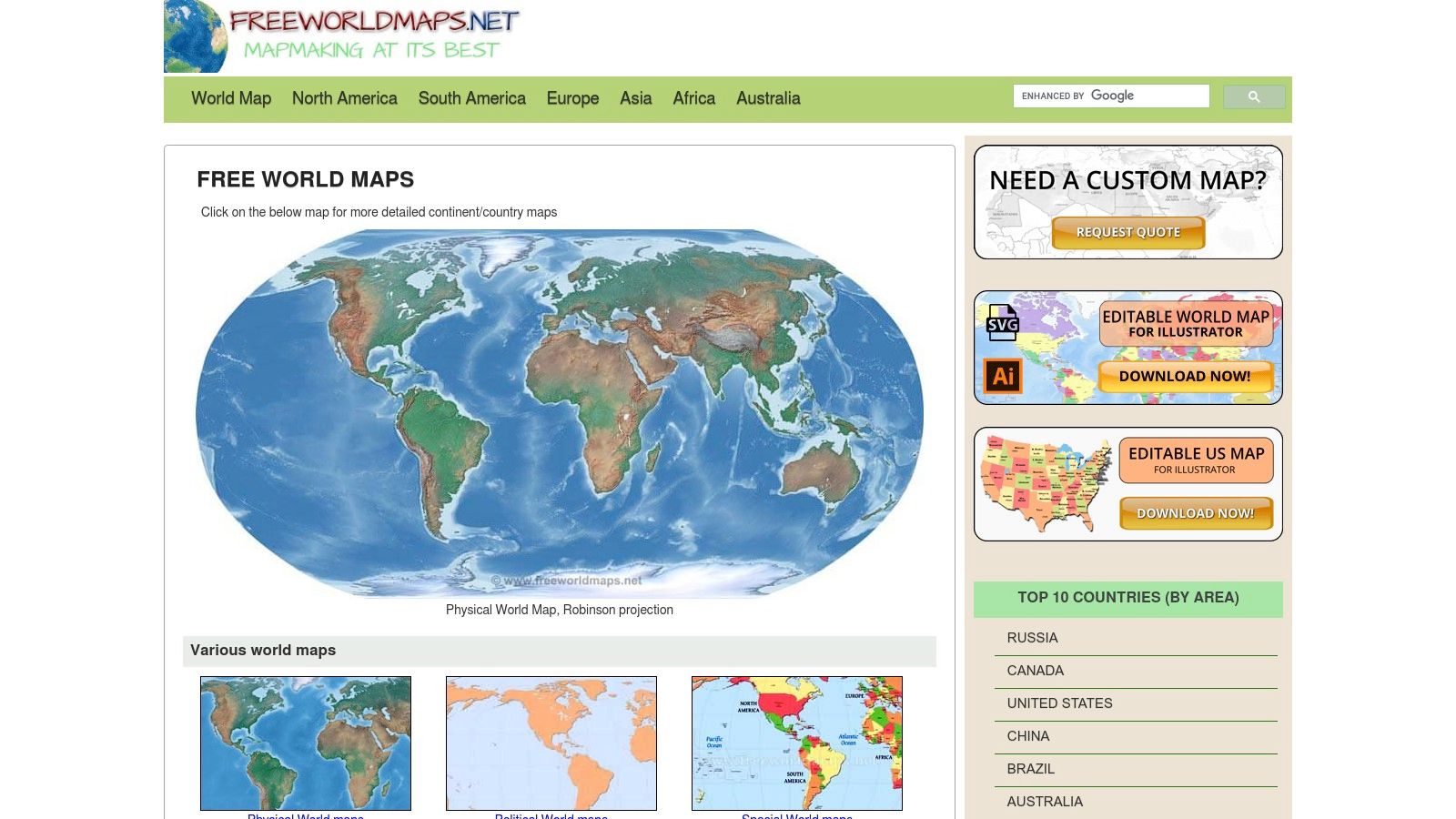
3. FreeWorldMaps.net
For users who need a high-quality, free printable africa map without any strings attached, FreeWorldMaps.net is a stellar resource. It strikes an excellent balance between ready-to-use files and professional-grade formats for customization. The platform provides clean, well-labeled political maps of Africa that are immediately downloadable in familiar formats like PDF and PNG. This makes it an ideal choice for students, educators, and hobbyists who need a reliable map for a project or classroom activity without navigating complex licensing or paywalls.
Key Features and Use Cases
The standout feature of FreeWorldMaps.net is its provision of vector files, which opens up significant possibilities for customization and large-scale printing. This is a rare offering for a free resource.
- Vector Formats: In addition to standard PDFs, the site offers Adobe Illustrator (AI) and SVG files. This allows graphic designers or advanced users to edit colors, remove labels, or isolate specific countries for custom projects.
- Use Case - Presentations: A user can download the SVG file to create a high-resolution, customized map for a business presentation, highlighting specific countries or regions relevant to their data.
- Use Case - Large Format Printing: The vector files can be scaled to any size without losing quality, making them perfect for printing large wall posters or banners for events.
A notable limitation is the website's somewhat dated design, which can make navigation less intuitive than on modern platforms. Additionally, many of the default print sizes are set to A4, so users in the US may need to adjust their printer settings to scale the map correctly for standard Letter-sized paper.
| Feature | Details |
|---|---|
| Map Type | Labeled political maps and blank outlines. |
| Printability | Excellent. Direct downloads available in PDF, PNG, AI, and SVG formats. |
| Primary Advantage | Free access to high-resolution vector files (SVG/AI) for unlimited scaling and editing. |
| Cost | Completely free for all map downloads. A custom map service is offered for a fee. |
| Digital Option | All maps are digital files intended for printing or digital use. |
| Best For | Students, educators, and designers needing a free, high-quality, and editable map for projects, presentations, or large-format printing. |
Website: https://www.freeworldmaps.net/
4. FreeVectorMaps.com
For designers, educators, and professionals who require a high-resolution, editable printable africa map, FreeVectorMaps.com is an exceptional resource. This platform specializes in providing professionally created vector files, which are essential for large-format printing and graphic design work. Instead of simple image files, it offers layered maps that can be fully customized in software like Adobe Illustrator. This makes it possible to change colors, add or remove labels, and isolate specific countries or features, offering a level of control that standard printable maps do not.

Key Features and Use Cases
The primary strength of FreeVectorMaps.com is its provision of scalable vector graphics, which maintain perfect clarity at any size. While it requires some technical know-how, the creative possibilities are vast.
- File Formats: Maps are available in multiple formats, including AI, EPS, PDF, PNG, and JPG, catering to both professional designers and casual users.
- Use Case - Professional Design: Ideal for creating custom infographics, reports, or educational materials where specific map elements need to be highlighted or styled to match branding.
- Use Case - Education: A teacher could use a vector map to create custom worksheets, such as a blank outline for an Africa map quiz or a version highlighting specific biomes.
A key consideration is that unlocking the full potential of these maps requires familiarity with vector editing software. While free versions are available, they may have limitations compared to the low-cost premium licenses, which are necessary for most commercial uses. This site is less for quick, simple printing and more for detailed, custom projects.
| Feature | Details |
|---|---|
| Map Type | Editable vector files (political, outline) |
| Printability | Highly printable and scalable. Downloadable files (PDF, AI, etc.) can be printed at any size without loss of quality. |
| Primary Advantage | Fully layered and editable files for complete customization. |
| Cost | Free downloads available with limitations; affordable premium licenses for commercial use and full features. |
| Digital Option | Native digital files (AI, EPS, PDF) designed for editing and printing. |
| Best For | Graphic designers, publishers, educators, and businesses needing high-quality, customizable maps for print or digital projects. |
Website: https://freevectormaps.com/
5. d-maps.com
For educators, students, and researchers needing a no-frills, highly functional printable africa map, d-maps.com is an exceptional resource. This website operates as a vast, free archive of cartographic outlines, offering a utilitarian approach focused on data layers rather than aesthetics. Users can easily find maps of Africa showing political boundaries, major rivers, coastlines, cities, or a combination of these features. Its strength lies in providing clean, simple, black-and-white maps that are perfect for creating worksheets, quizzes, or customized study guides without any distracting design elements.
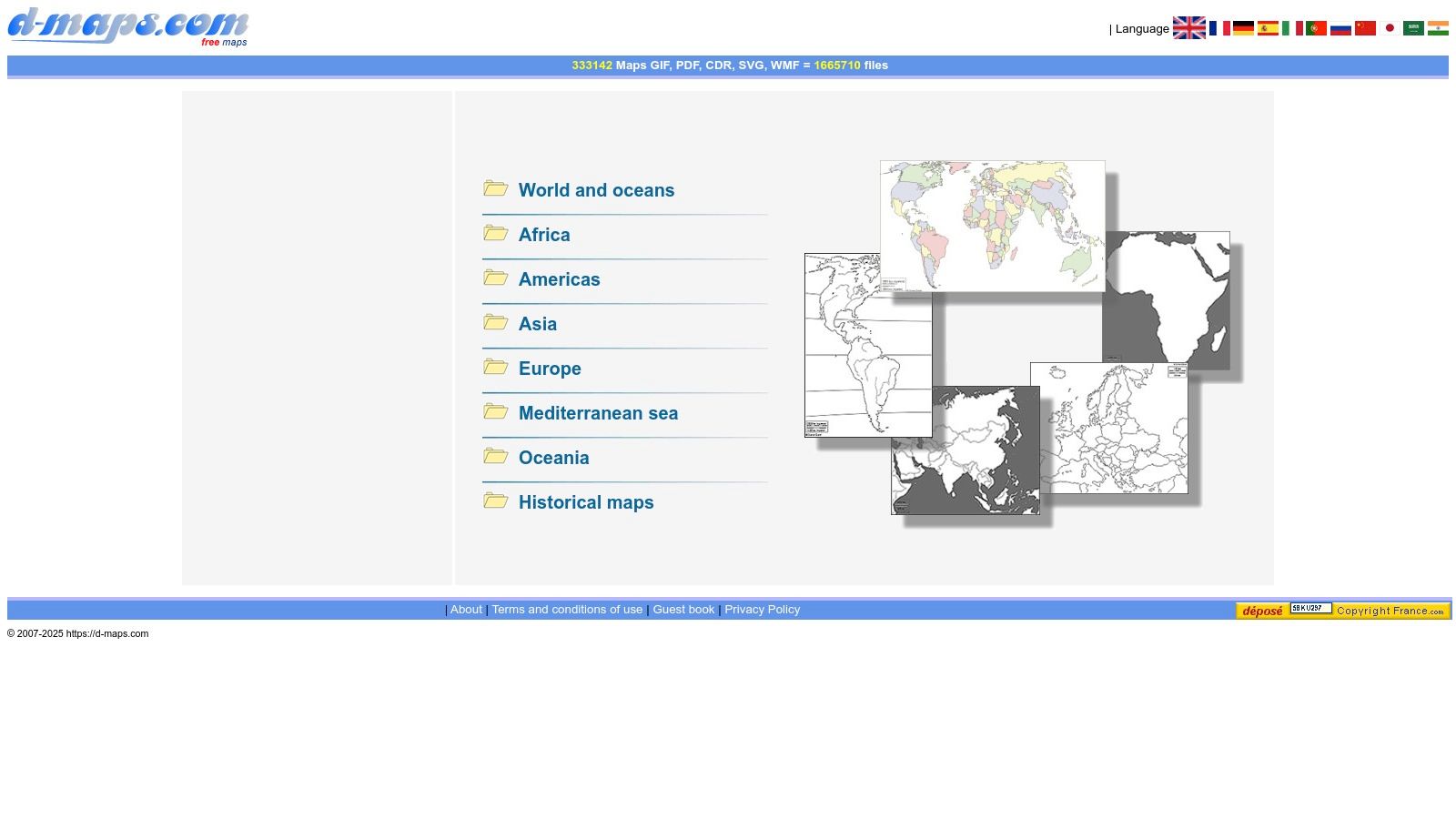
Key Features and Use Cases
The primary appeal of d-maps.com is its sheer volume and simplicity. It's a go-to for anyone who needs to quickly generate a base map for a specific educational or informational purpose.
- Customizable Layers: You can select a map that includes just the outlines, adds country names, shows rivers, or pinpoints major cities. This allows for tailored educational materials.
- Use Case - Worksheets: Teachers can print the blank outline of Africa for students to label countries and capitals, or use a map with rivers to teach about key waterways.
- Use Case - Research: Researchers can use the simple base maps to overlay their own data for presentations or analysis without the clutter of a complex topographic map.
A key consideration is that all maps are provided under a Creative Commons license that requires attribution, so users should be sure to credit d-maps.com when using the images. The website's interface is dated but highly functional, prioritizing quick access to files over a modern user experience.
| Feature | Details |
|---|---|
| Map Type | Simple, layered outline maps (political, physical features, blank). |
| Printability | Excellent. Maps are available in PDF, GIF, and other formats, designed for clean printing. |
| Primary Advantage | Huge, free collection of highly specific and customizable map layers perfect for educational use. |
| Cost | Completely free, but attribution is required for use. |
| Digital Option | All maps are digital files ready for immediate download and printing. |
| Best For | Teachers creating classroom materials, students needing study aids, and anyone who requires a simple, clean base map for non-commercial projects. |
Website: https://d-maps.com/
6. GISGeography.com
For educators and students looking for a reliable source, GISGeography.com provides a fantastic collection of free, high-quality map resources. The site offers a clean and straightforward printable Africa map in several useful variations, including blank outlines, labeled political maps, and versions with colored countries. Presented within an educational context, these maps are designed specifically for classroom use, homework assignments, or self-study, making it a go-to resource for academic purposes. The focus is on providing clear, accurate, and easily accessible cartographic tools.

Key Features and Use Cases
The main strength of GISGeography.com is its education-first approach. The maps are not just images; they are presented with context, related articles, and practical tips, creating a richer learning experience than a simple image search would provide.
- Map Variations: Users can easily download blank outline maps for quizzes, colored political maps for reference, or labeled maps for study guides.
- Use Case - Education: Teachers can print the blank outline maps for students to label countries and capitals, a classic geography exercise. The labeled maps serve as excellent answer keys or study aids.
- Use Case - Projects: The clean design is perfect for inclusion in school reports, presentations, or personal projects where a simple, clear map of Africa is needed.
A key consideration is attribution. While the maps are free for educational and personal use, using them in publications or on other websites often requires citing GISGeography.com as the source. The site offers limited format control, providing standard image files (like PNG) rather than scalable vector files for advanced customization.
| Feature | Details |
|---|---|
| Map Type | Labeled political maps, blank outlines, and colored country maps. |
| Printability | Excellent. High-resolution PNG files available for direct download and printing. |
| Primary Advantage | Education-focused, providing context and related resources alongside clear, simple maps. |
| Cost | Completely free for personal and educational use. |
| Digital Option | All maps are digital files ready for immediate download. |
| Best For | Teachers, students, and researchers needing straightforward, accurate, and free maps for academic work and classroom activities. |
Website: https://gisgeography.com/
7. WorldMapBlank.com
For educators, homeschoolers, and students who need a straightforward and free printable Africa map, WorldMapBlank.com is an excellent, no-frills resource. The site specializes in offering clean, simple maps formatted for immediate use in A4 and A5 sizes. Unlike more graphically intensive platforms, its strength lies in its simplicity and direct focus on educational utility. It provides a variety of map styles, including blank outlines for labeling exercises, political maps with countries, and more detailed versions showing capitals and major rivers.
Key Features and Use Cases
The core benefit of WorldMapBlank.com is its collection of ready-made worksheets and easy-to-print PDFs, making it a go-to for quick lesson planning. The different levels of detail cater to various age groups and learning objectives.
- Educational Formats: Offers blank, political, and physical (capitals/rivers) maps, allowing for tiered learning from basic geography to more detailed studies.
- Use Case - Classroom Handouts: Teachers can instantly download and print map worksheets for quizzes, labeling practice, or homework assignments. For a deeper dive, learn more about using a printable blank map of Africa in your lessons.
- Use Case - Homeschooling: The pre-formatted A4/A5 PDFs are perfect for parents who need quick, reliable geography materials without complex software or subscriptions.
A primary consideration is that the maps are sized for A4/A5 paper, which is standard internationally but may require users in the US to adjust their printer settings to "fit to page" for Letter-sized paper. The visual design is functional and basic, prioritizing clarity over aesthetic detail.
| Feature | Details |
|---|---|
| Map Type | Printable PDFs (blank outline, political with countries, political with capitals/rivers) |
| Printability | Excellent. Direct PDF downloads optimized for A4/A5 paper. |
| Primary Advantage | Free, easy to access, and offers multiple educational formats ready for classroom use. |
| Cost | Completely free. |
| Digital Option | The entire offering is digital PDF files for printing. No interactive versions are available. |
| Best For | Teachers, students, and homeschoolers needing quick, simple, and free map handouts and worksheets for educational purposes. |
Website: https://worldmapblank.com/
8. MapSales.com
MapSales.com operates as a comprehensive retailer for physical wall maps, offering a diverse selection from various reputable publishers like National Geographic and Lovell Johns. While it doesn't provide a direct "printable africa map" file for instant download, it serves as a one-stop shop for ordering high-quality, pre-printed maps in numerous sizes and finishes. This platform is ideal for users who need a durable, classroom-ready or office-quality map and prefer to browse options from multiple cartographers in one place. The focus is on providing a finished product, shipped directly to you, rather than a DIY printable.

Key Features and Use Cases
The main appeal of MapSales.com is its wide selection and professional finishing options. It consolidates maps from top-tier publishers, making it easy to compare styles and find the perfect physical map for a specific need.
- Finishes Available: Options range from standard paper to durable lamination. You can also order maps with mounting rails for easy hanging or have them fully mounted for a premium display.
- Use Case - Classrooms & Offices: The availability of large-format maps with classroom-grade lamination and mounting hardware makes it a practical choice for educational institutions and professional settings.
- Use Case - Comparison Shopping: Instead of visiting multiple publisher websites, users can compare different Africa maps side-by-side to choose the best one for their aesthetic and informational needs.
The primary limitation is its business model; it is a retailer of physical goods, not a source for digital printables. This means you must account for shipping time and costs, and you cannot instantly print a map for a last-minute project.
| Feature | Details |
|---|---|
| Map Type | Shipped physical wall maps (political, physical, and thematic from various publishers) |
| Printability | Not a printable file. This is a storefront for ordering professionally printed and finished maps. |
| Primary Advantage | Wide selection of maps from different publishers and extensive finishing options (lamination, mounting, rails). |
| Cost | Varies by size, publisher, and finish; can be more expensive than single-publisher sites due to the premium finishing options. |
| Digital Option | None. This platform is exclusively for physical, shipped products. |
| Best For | Educators, businesses, and decorators looking for a specific type of high-quality, durable wall map with professional finishing. |
Website: https://www.mapsales.com/
9. World Maps Online
For educators or institutions needing a large-format, permanent installation, World Maps Online offers a specialized service that goes far beyond a typical "printable africa map". This US-based, on-demand printer produces classroom-ready political wall map murals of Africa, reaching impressive sizes up to 84 by 118 inches. The focus is on creating a durable, high-impact visual aid with up-to-date political information and a clear legend. This option is tailored for those who are outfitting a classroom, lecture hall, or office and require a professional, long-lasting map rather than an instant download.
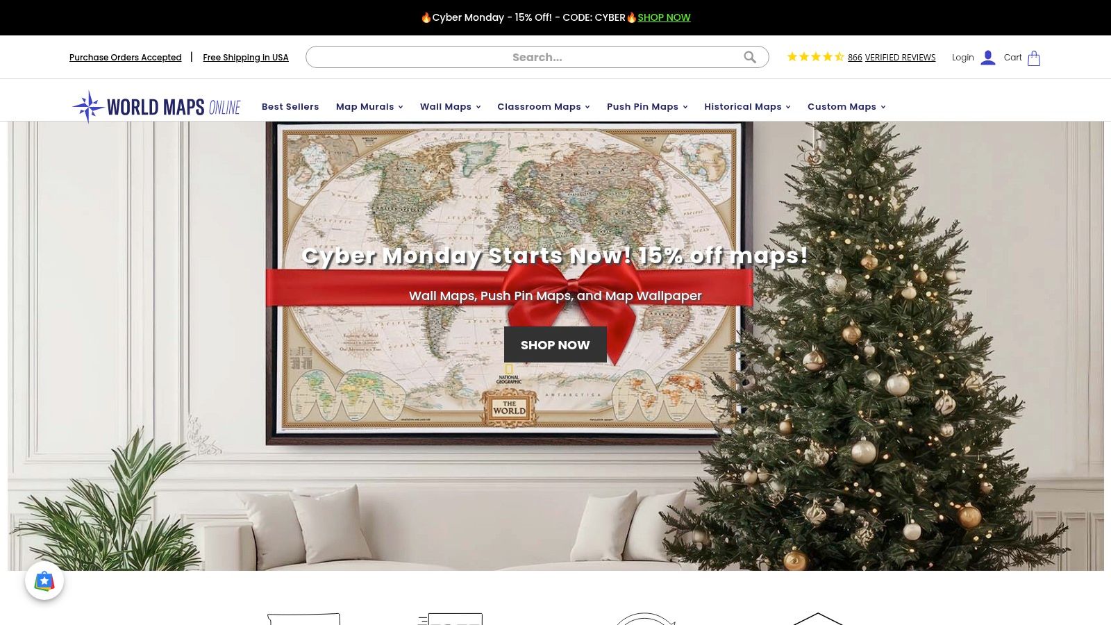
Key Features and Use Cases
The standout advantage of World Maps Online is its specialization in oversized, made-to-order wall murals that serve as permanent educational fixtures. They provide a high-quality alternative to projecting a digital map or printing a smaller version.
- Multiple Substrates: You can choose from various finishes, including a durable laminated version that is ideal for interactive teaching with dry-erase markers.
- Use Case - Permanent Classroom Display: Its sheer size and professional quality make it perfect as a central reference point in a geography, history, or social studies classroom.
- Use Case - Corporate or Institutional Decor: The high-quality print is suitable for display in corporate offices, non-profit headquarters, or government buildings with an international focus.
The primary limitation is that this is not an instant resource. As a made-to-order product, it requires a production lead time of approximately 5 to 7 business days before shipping. While many items include free ground shipping in the contiguous US, it is a planned purchase, not a solution for an immediate need for a printable Africa map.
| Feature | Details |
|---|---|
| Map Type | Shipped physical wall map mural (political) |
| Printability | Not a printable file. This is a service for ordering a pre-printed, oversized physical map. |
| Primary Advantage | Massive sizes available (up to 84"x118") and durable finishes ideal for permanent classroom or office installation. |
| Cost | Varies significantly based on size and finish; premium pricing for a custom-printed product. |
| Digital Option | None. This is strictly a physical product-based service. |
| Best For | Schools, universities, and organizations needing a very large, high-quality, and permanent wall map of Africa for display. |
Website: https://www.worldmapsonline.com/
10. Super Teacher Worksheets
Super Teacher Worksheets is a membership-based platform specifically designed for educators, offering a vast library of classroom-ready resources. For those needing a printable Africa map worksheet, this site provides reliable, education-focused options tailored for elementary and middle school students. The materials are not designed for high-detail cartographic study but excel as practical tools for teaching basic geography, including country names and locations. The site's strength lies in its teacher-centric approach, ensuring every resource is formatted for easy printing and classroom implementation.
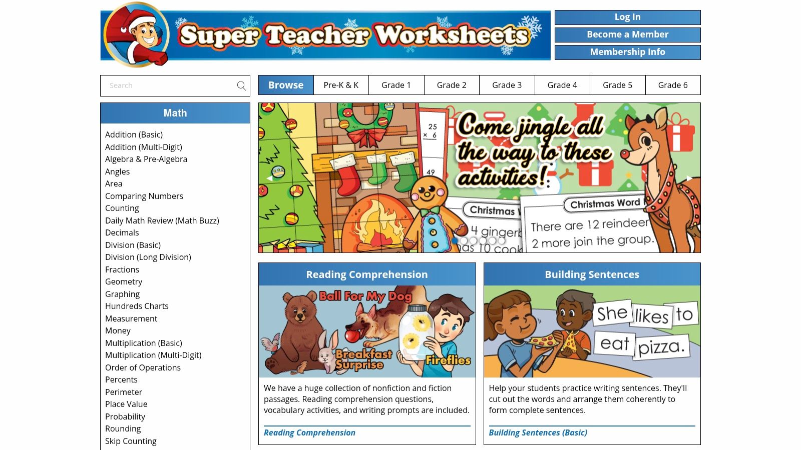
Key Features and Use Cases
The primary advantage here is the curriculum-aligned design. These maps are created by educators for educators, which means they are clear, simple, and effective for their intended grade levels (typically 3–6). Their clean, black-and-white format is also economical for printing in bulk for an entire class.
- Worksheet Formats: Provides both labeled political maps of Africa and blank outline maps for quizzing or labeling exercises.
- Use Case - Classroom Quizzes: The blank maps are perfect for testing students on their knowledge of African countries, a core component of many geography curricula. Learn more about effective ways to learn the countries of Africa.
- Use Case - Lesson Planning: Teachers can use the member "file cabinet" feature to save multiple worksheets and organize them for upcoming lessons, streamlining their workflow.
A significant limitation is that the best resources are behind a paywall. While some free worksheets are available, full access requires a paid membership. The maps are also simplified for a younger audience and lack the detailed physical or political data found on more advanced cartographic sites.
| Feature | Details |
|---|---|
| Map Type | Labeled and blank political map worksheets (PDF) |
| Printability | High. Designed for standard 8.5" x 11" paper; instant PDF download. |
| Primary Advantage | Classroom-tested, curriculum-aligned, and consistently formatted for K-6 education. |
| Cost | Membership required for full access (paywall). |
| Digital Option | All resources are digital PDF files intended for printing. |
| Best For | Elementary and middle school teachers looking for ready-to-use geography worksheets. |
Website: https://www.superteacherworksheets.com/
11. Teach Starter
Teach Starter is an educational resource platform offering a versatile printable Africa map specifically designed for classroom use. Tailored for grades 3-5, their blank outline map serves as a fantastic teaching aid, available as both a standard PDF and an editable Google Slides file. This dual format gives educators the flexibility to either print the map for hands-on activities or customize it digitally for presentations and online assignments. The resource is aligned with US TEKS curriculum standards, making it a reliable and relevant choice for American teachers.
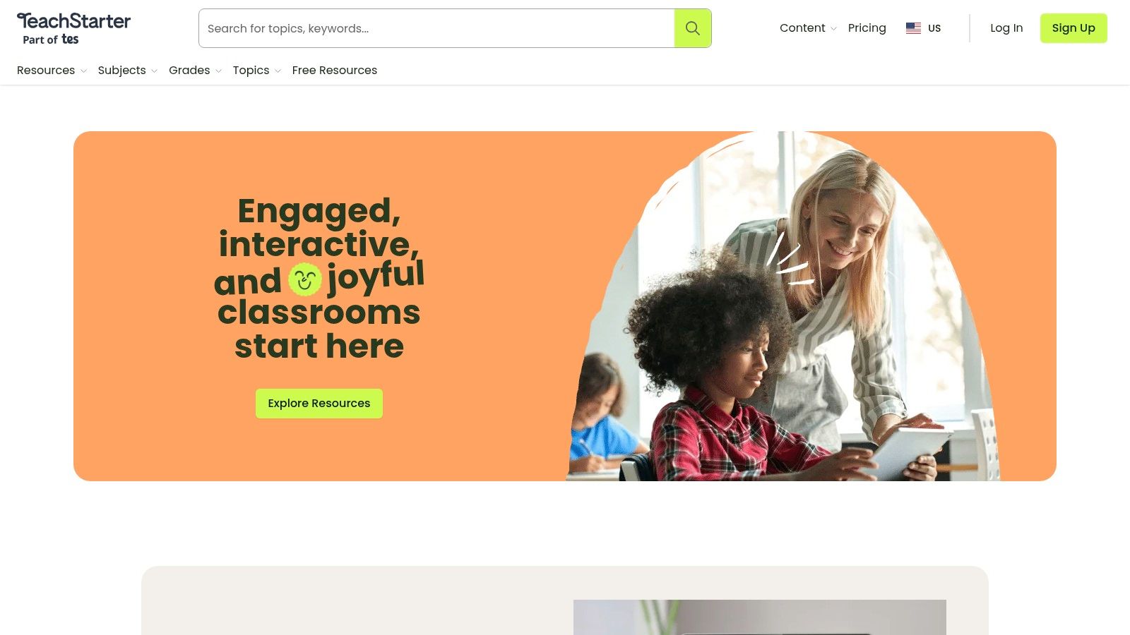
Key Features and Use Cases
The primary strength of Teach Starter lies in its seamless integration into digital and traditional classroom environments. The editable Google Slides version allows teachers to add labels, instructions, or interactive elements directly to the map.
- Editable Format: The Google Slides option is perfect for creating customized worksheets, interactive lessons, or collaborative online activities.
- Use Case - Classroom Activities: Ideal for lessons where students need to label countries, trace rivers, or identify major geographic regions.
- Use Case - Digital Learning: Teachers can easily share the file through Google Classroom, allowing students to complete assignments digitally.
A key limitation is that accessing and downloading the map requires a paid Teach Starter Plus subscription. Furthermore, the map itself is a simplified outline intended for educational exercises, not a detailed cartographic reference. It lacks the topographical or extensive political details found on more advanced maps.
| Feature | Details |
|---|---|
| Map Type | Blank outline map for educational use. |
| Printability | High. Available as a downloadable PDF and an editable Google Slides file. |
| Primary Advantage | Dual format (PDF/Google Slides) and alignment with US curriculum standards. |
| Cost | Requires a Teach Starter Plus subscription to download. |
| Digital Option | A fully editable Google Slides version is provided alongside the PDF. |
| Best For | Elementary school teachers (grades 3-5) looking for a flexible, curriculum-aligned map for classroom activities. |
Website: https://www.teachstarter.com/
12. Etsy
Etsy serves as a massive creative marketplace, offering a diverse and often inexpensive collection of "printable africa map" files from independent artists and designers. Instead of a single cartographic style, you’ll find thousands of instant digital downloads spanning decorative art prints, minimalist outlines for crafts, and educational posters. This platform is ideal for users seeking a specific aesthetic, a unique design for a project, or a very affordable and immediate solution, with many digital files available for just a few dollars.
Key Features and Use Cases
The primary strength of Etsy is the sheer variety and affordability of its digital offerings. Since files are instant downloads (often in PDF, JPG, PNG, or SVG formats), you can purchase and print your map within minutes. Once you've purchased a map, knowing how to save a webpage for printing can be a useful skill for managing and organizing your downloaded files from various sellers.
- File Formats: Most sellers provide multiple formats, making the files suitable for everything from standard home printing to professional printing or use with cutting machines like Cricut (for SVG files).
- Use Case - Crafts and DIY: The availability of simple outlines and SVG files is perfect for craft projects, t-shirt designs, or classroom activities that require a basic template.
- Use Case - Home Decor: Find stylized, artistic, and modern map designs that are perfect for framing and displaying as affordable wall art.
The main limitation is the lack of standardization. Map quality, accuracy, detail, and licensing terms vary significantly from one seller to the next. It's crucial to read each product description carefully to ensure the file meets your specific needs, as cartographic elements like scale or legends are often omitted in artistic prints.
| Feature | Details |
|---|---|
| Map Type | Instant digital downloads (PDF, JPG, SVG, PNG); a wide variety of styles. |
| Printability | Excellent. Designed for immediate download and at-home or print shop printing. |
| Primary Advantage | Huge variety of artistic styles and very low cost for instant access. |
| Cost | Very affordable; many digital downloads are priced under $5. |
| Digital Option | The core offering is digital files; some sellers also offer to ship physical prints. |
| Best For | Crafters, DIY enthusiasts, decorators, and users needing a quick, affordable, or stylized map. |
Website: https://www.etsy.com/
Printable Africa Maps — 12-Resource Comparison
| Product | Core features | Quality & UX (★) | Price & Value (💰) | Target audience (👥) | Unique selling point (✨) |
|---|---|---|---|---|---|
| National Geographic Maps (store) | Museum-quality printed maps + Avenza in-app | ★★★★★ 🏆 authoritative, durable | 💰 $$$ — premium prints & paid app tie-in | 👥 Classrooms, offices, collectors | ✨ Museum-grade cartography & laminated finishes |
| PrintableWorldMap.net | Instant printable PDFs (labeled & blank) | ★★★ quick, classroom-ready | 💰 Free; low-cost bundles available | 👥 Teachers, homeschoolers | ✨ No-account free PDFs for same-day printing |
| FreeWorldMaps.net | PDF/PNG + editable vector (SVG/AI) & custom maps | ★★★★ editable, good print quality | 💰 Free for many files; paid custom service | 👥 Designers, teachers needing edits | ✨ Vector formats for large-format/editable prints |
| FreeVectorMaps.com | Fully layered vector files (AI/EPS/PDF) + licenses | ★★★★★ 🏆 professional vectors | 💰 Free basics; affordable premium licenses | 👥 Graphic designers, print shops | ✨ High-res layered vectors for professional use |
| d-maps.com | Large archive: outlines, states, rivers, cities | ★★★ utilitarian, extensive coverage | 💰 Free (attribution may apply) | 👥 Teachers, quiz & worksheet creators | ✨ Huge selection of simple, print-ready outlines |
| GISGeography.com | Education-focused maps + teaching tips | ★★★ clear, education-oriented | 💰 Free (with attribution guidance) | 👥 Educators, students | ✨ Practical context and classroom resources |
| WorldMapBlank.com | A4/A5 PDFs + labeled/blank + worksheets | ★★★ straightforward, printable | 💰 Free | 👥 Homeschoolers, elementary teachers | ✨ Multiple difficulty levels + ready-made worksheets |
| MapSales.com | Retailer of printed maps from top publishers | ★★★★ broad selection, product clarity | 💰 $$–$$$ depending on size/finish | 👥 Schools, offices, buyers needing display options | ✨ Wide publisher selection & display hardware options |
| World Maps Online | On-demand oversized murals (up to 84"x118") | ★★★★ high-quality, large-format | 💰 $$$ custom-printed; lead time | 👥 Schools needing permanent classroom murals | ✨ Large custom wall murals with US production & shipping |
| Super Teacher Worksheets | Membership printable worksheets (grades 3–6) | ★★★★ teacher-tested, grade-focused | 💰 Subscription (membership) | 👥 Elementary teachers | ✨ Consistent formatting + file-cabinet for teachers |
| Teach Starter | PDFs + editable Google Slides, standards-aligned | ★★★★ editable, curriculum-aligned | 💰 Subscription required | 👥 US K–5 teachers | ✨ Editable Slides + TEKS alignment for lessons |
| Etsy | Marketplace of instant digital map downloads | ★★★ variable quality, vast styles | 💰 💲 (many <$5) | 👥 Crafters, niche buyers | ✨ Huge variety of styles and seller options |
From Worksheets to Wall Art: Choosing Your Ideal Africa Map
Navigating the vast landscape of online map resources can feel as complex as charting the continent of Africa itself. Throughout this guide, we've explored a diverse collection of tools, each offering a unique window into the geography, politics, and topography of this incredible landmass. From simple, unlabeled outlines perfect for a pop quiz to intricate, high-resolution physical maps that capture every mountain range, the ideal printable Africa map is waiting for you.
Your specific goal is the most important compass you have. A teacher preparing a lesson on the nations of West Africa will find immediate value in the curriculum-aligned resources from Super Teacher Worksheets or Teach Starter. These platforms offer ready-made materials that save time and engage students effectively. In contrast, a graphic designer or a DIY enthusiast planning a custom project needs the granular control offered by vector files. For them, a source like FreeVectorMaps.com is the perfect starting point, providing the scalable, editable assets necessary for creative freedom.
Matching the Map to Your Mission
The key takeaway is to align the resource's strengths with your project's demands. There is no single "best" map, only the one that is best for your purpose.
To simplify your decision, consider these final points:
- For quick educational use: Free resources like PrintableWorldMap.net, d-maps.com, and GISGeography.com are fantastic. They offer a range of styles in easy-to-download formats like PDF and JPG, making them perfect for last-minute classroom needs or simple homework assignments.
- For high-quality display: When your goal is to create a piece of wall art, investing in a premium map is worthwhile. National Geographic offers unparalleled detail and cartographic excellence. For a truly bespoke piece, turning a high-resolution file from a site like World Maps Online into a large-format print creates a stunning focal point. To properly frame such a centerpiece, consult this helpful guide on what size poster frame to ensure a professional finish.
- For maximum customization: If you need to modify colors, add custom labels, or isolate specific regions for a presentation or design project, a vector map is non-negotiable. FreeVectorMaps.com provides a solid foundation for those comfortable with design software like Adobe Illustrator.
- For unique and artistic applications: Don't overlook creative marketplaces like Etsy. Here you'll find unique, stylized interpretations of the continent, from vintage-inspired designs to minimalist artwork, offering a more decorative approach to geography.
Beyond the Printed Page: A New Dimension of Exploration
Ultimately, a printable Africa map is more than just a piece of paper. It is a tool for learning, a spark for curiosity, and a canvas for creativity. It can be the foundation for a lesson plan, the centerpiece of a room's decor, or the first step in planning an imaginary journey. By carefully considering factors like file type, level of detail, licensing, and intended print size, you can confidently select the perfect map that meets your needs and exceeds your expectations.
Whether you're labeling the Nile River with a crayon or designing a sophisticated infographic, the right map empowers you to connect with the world in a tangible way. Let these resources be your guide as you explore the rich and diverse continent of Africa, one printed page at a time.
Ready to take your geographical knowledge from a static 2D map to an interactive 3D world? EarthChasers transforms the countries and landmarks you've been studying into a thrilling virtual adventure. Put your skills to the test and see the continent in a whole new way at EarthChasers.